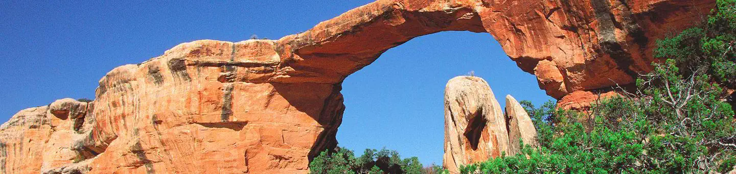
1 of 1 photo
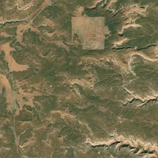
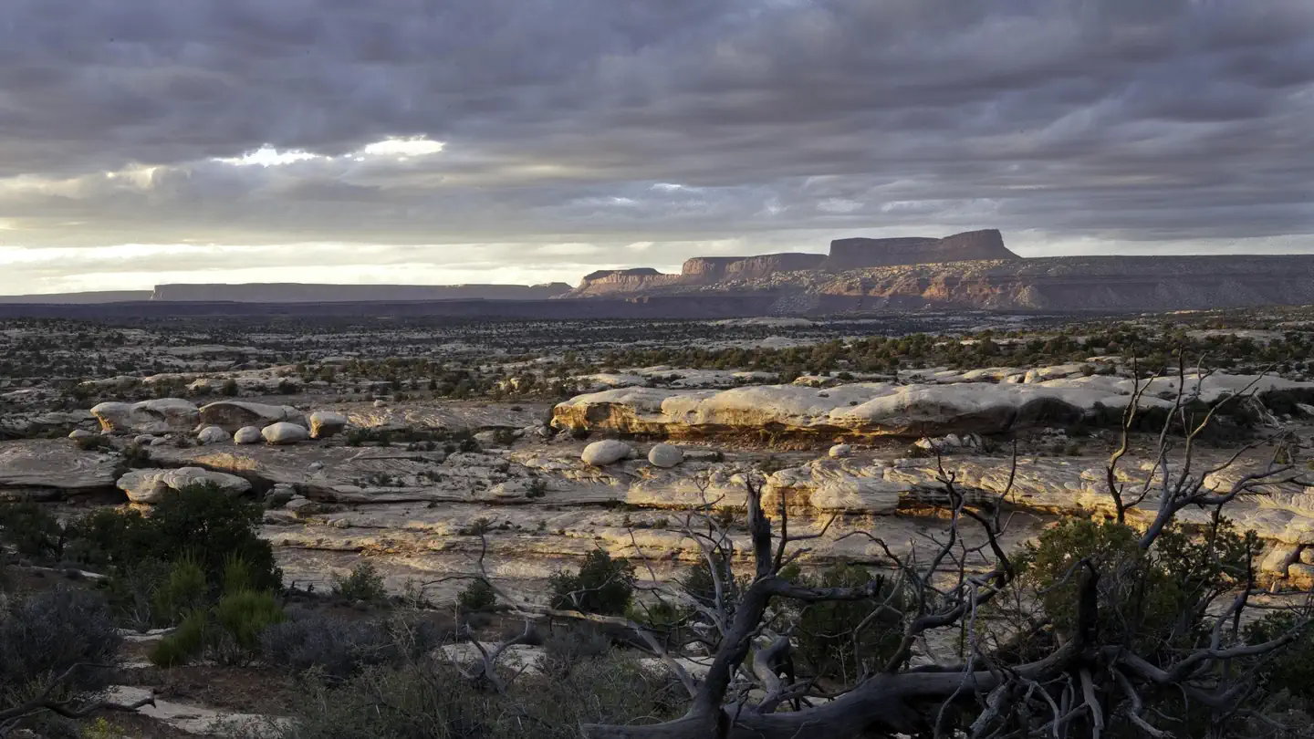
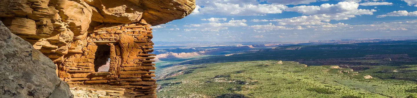
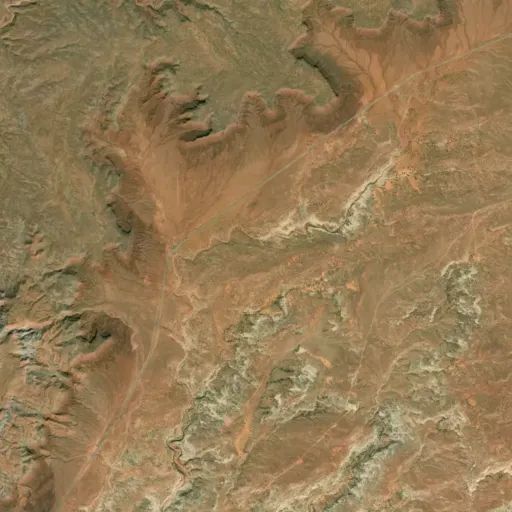
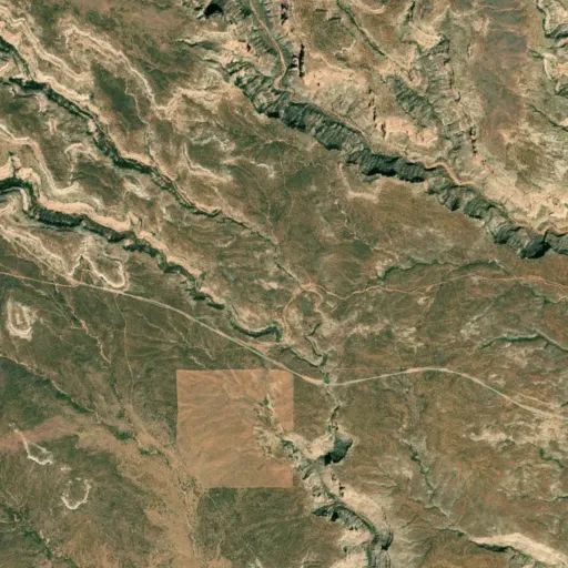
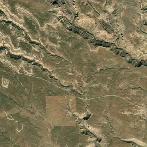
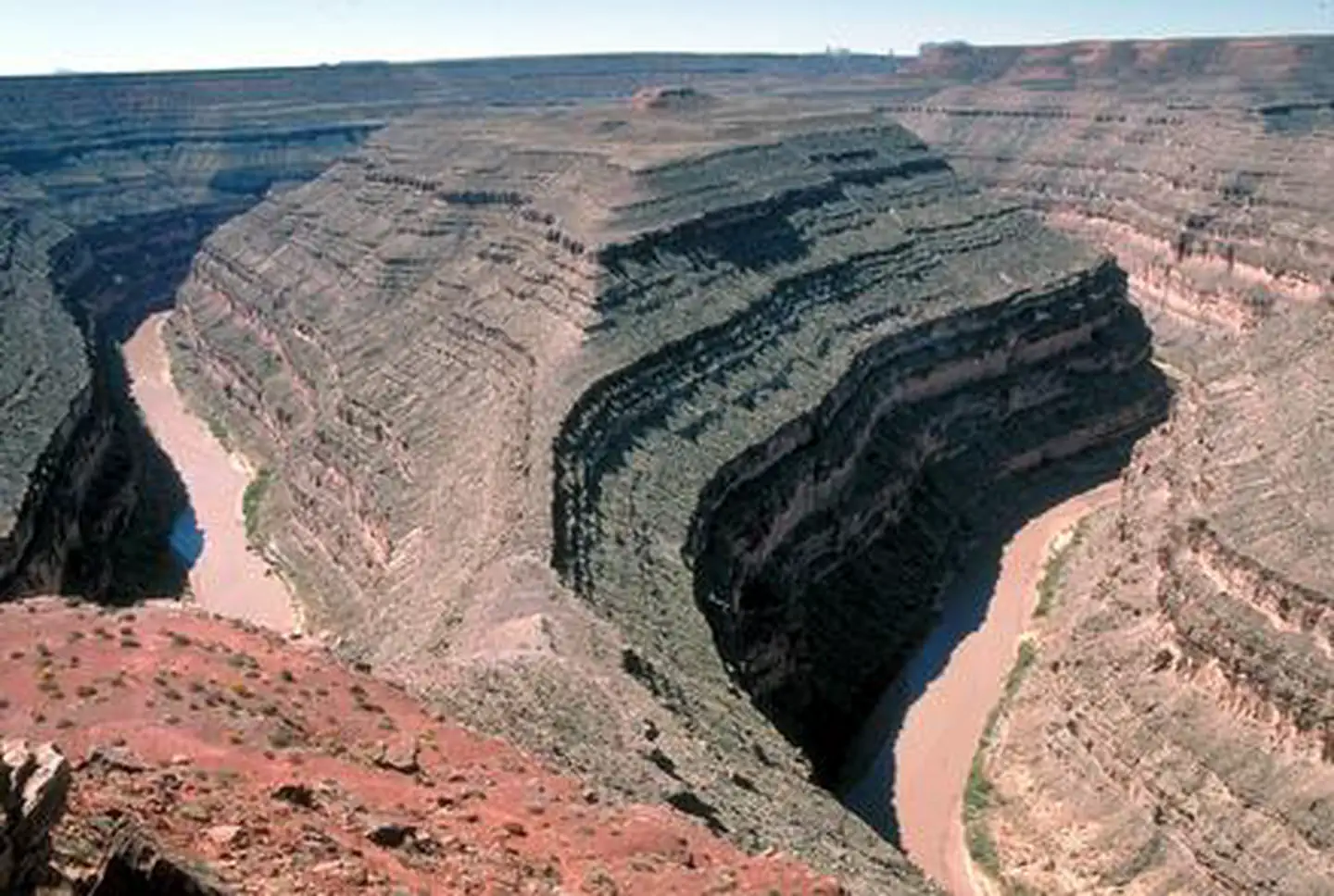
Slickhorn Canyon
Popularity
No popularity data yet
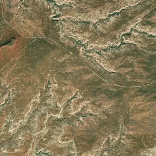
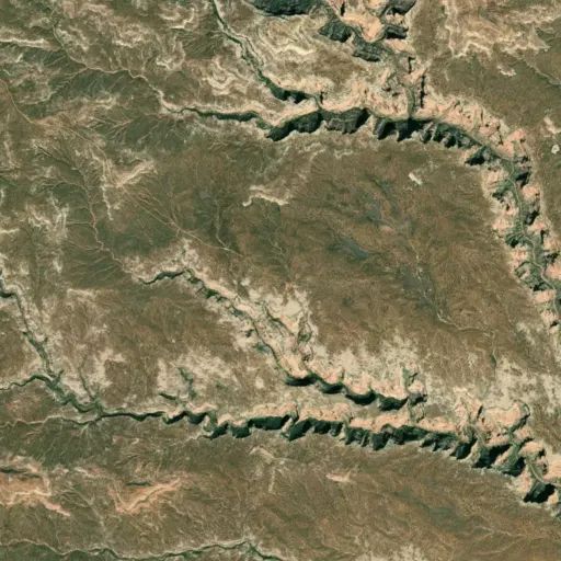
Directions
For the following access points drive 9.4 miles south of the Kane Gulch Ranger
Station on State Route 261 then turn right (west) on County Road 203 directly
across from the Cigarette Springs Road. In 2.5 miles, you will reach a major
junction; stay left, heading south. One access point is 4.3 miles south of the
major junction. The road dips down into a wash where you will see two old
cattle watering troughs. There are pullouts on both sides of the road for
parking. A second access point is 1.2 miles beyond the access point mentioned
above. The road passes over a cattle guard, and enters an area where the trees
have been chained off. A corral will be visible at the head of a small draw.
Park by the corral and follow the draw west into a side canyon.
Reviews
Location