1 of 1 photo
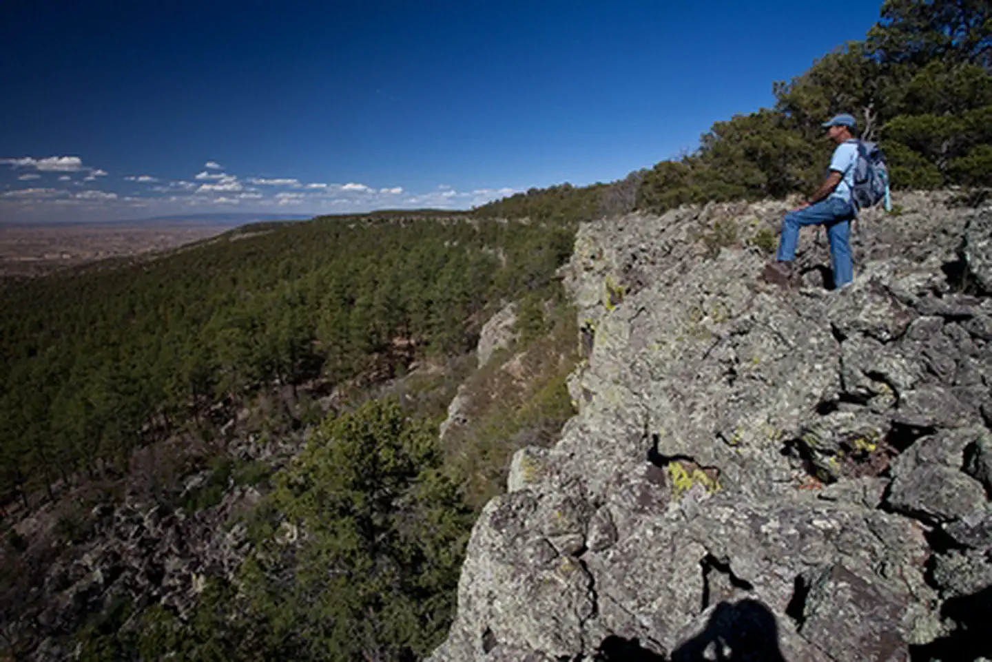
Ignacio Chavez Wilderness Study Area
Popularity
No popularity data yet
Directions
From San Ysidro, NM, drive US 550 about 18 miles to just north of mile marker
41 and the junction with NM 279. A green highway sign labeled, "San Luis-
Cabezon" marks NM 279. Drive west on NM 279, a paved road, through the small
village of San Luis, after which the road turns to gravel and dirt. Travel on
this gravel road approximately 13 miles, crossing the bridge over the Chico
Arroyo, until the road splits – NM 279 continues south to Guadalupe and BLM
Road 1103 begins here and continues west. At about one mile, CR 25 splits to
the right and from this point the WSA is on the right side of 1103 – continue
on 1103, climbing to the mesa top. A gate and parking area is located just
below the top of the mesa and is locked during wet times of year. Visitors can
park here and look for an unmaintained trail on the right side of the parking
area that passes through rugged terrain and connects to the Continental Divide
National Scenic Trail approximately 1/2 mile to the north. If the gate is
open, continue driving one mile to a signed parking area delineated by a split
rail fence on the right side (north) of the road. Hike a flat, unmaintained
trail to the north, through a gate in a barbed wire fence, and across dry
meadows approximately one mile to the Continental Divide National Scenic
Trail.
Reviews
Location