1 of 1 photo
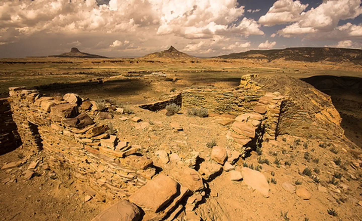
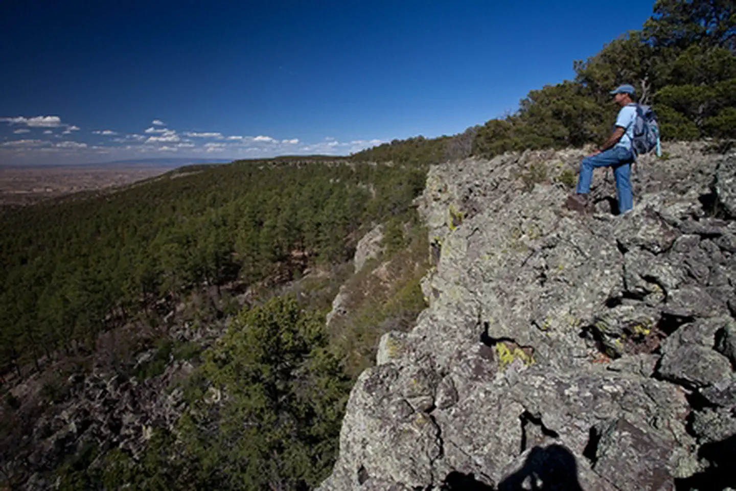
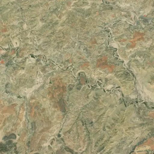
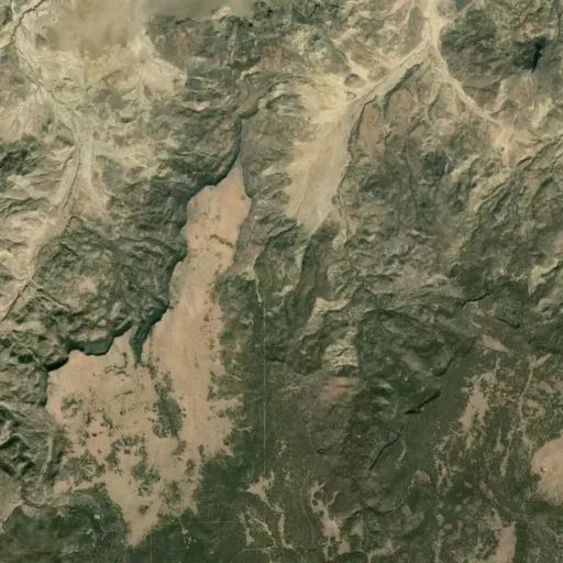
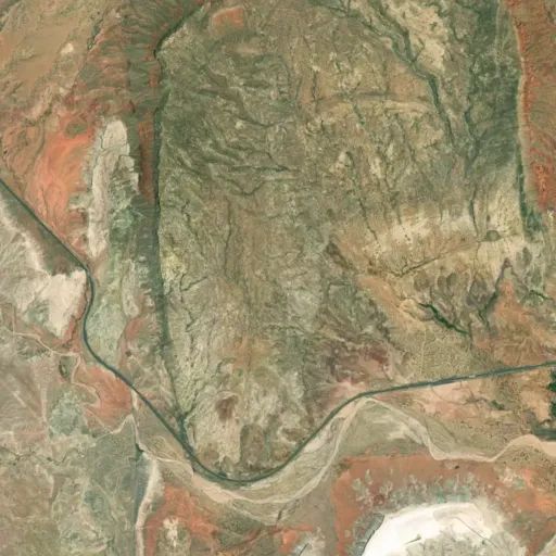
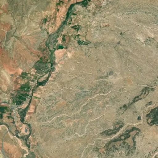
Cabezon Wilderness Study Area
Popularity
No popularity data yet
Directions
Entry into the area is best gained by turning westward from US 550 onto County
Road 279 approximately 20 miles northwest of San Ysidro. A green highway sign
(labeled “San Luis, Cabezon”) marks the turnoff. Continue 12 miles (south-west
past the village of San Luis) to the Cabezon turn-off onto BLM Road 1114. The
pavement ends just beyond San Luis.
At the intersection of CR 279 and BLM Road 1114, you will pass by the ghost
town of Cabezon. Follow BLM Road 1114 for 2.9 miles to the dirt route that
leads east to the trailhead.
Travel on CR 279 and BLM Road 1114 is good during dry conditions. During the
rainy season, normally in spring and late summer, the roads can get slippery
and rutted. During winter, the area can be unreachable. Check with the BLM
about road conditions before your visit. Use of this area is regulated only to
the extent needed to protect the resources and ensure your safety.
Stay Limit
14 Days
Reviews
Location