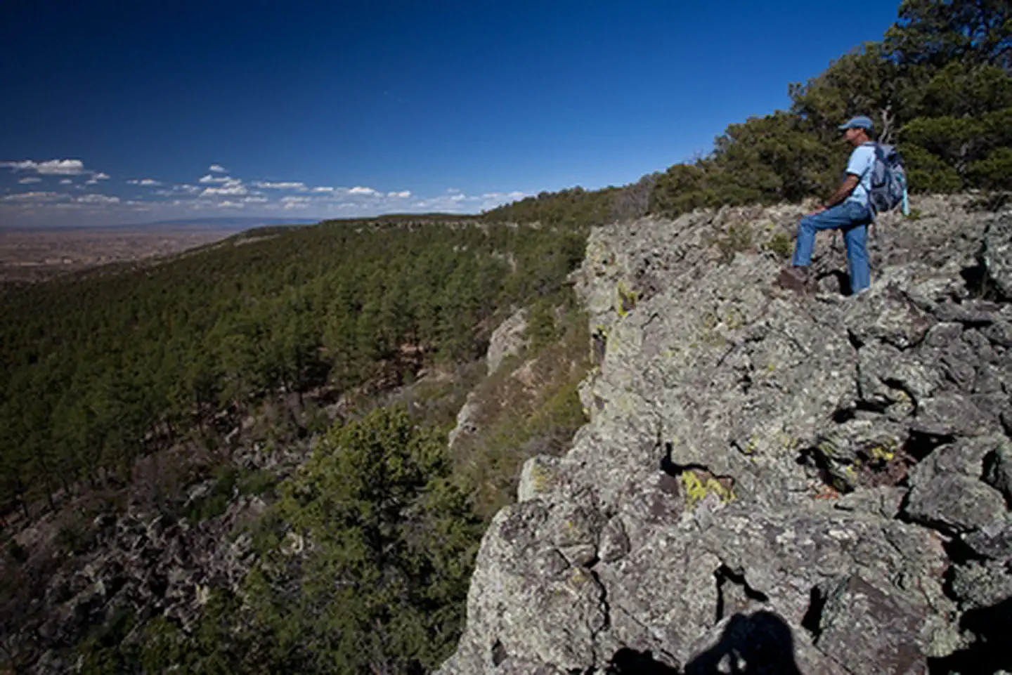
1 of 1 photo
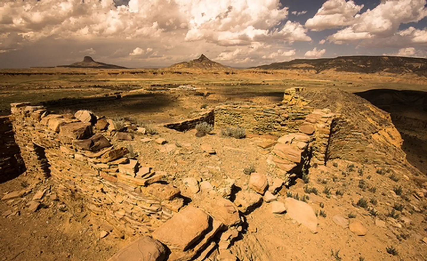
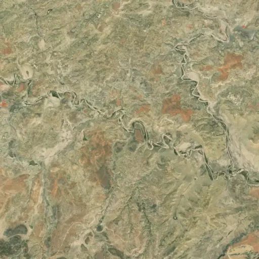
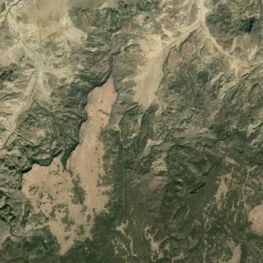
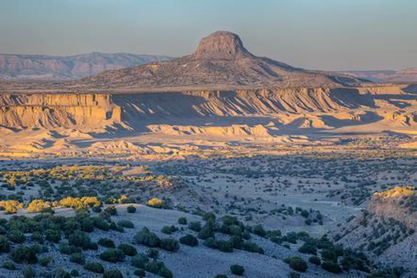
Chamisa Wilderness Study Area
Popularity
No popularity data yet
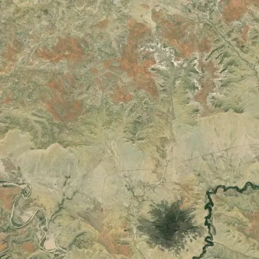
Directions
From Highway 550, approximately 18 miles north of San Ysidro, turn west on
County Road 279. At 8.5 miles, County Road 279 turns to dirt as it passes
through the village of San Luis. At approximately 22.5 miles from Highway 550,
turn southwest on BLM road 1103, which begins to climb up onto the mesa. A
gate is located just below the top of the mesa. This gate is locked during wet
times of year. Park at the gate or just beyond the gate at the top of the mesa
and hike southeast into the WSA.
Reviews
Location