1 of 1 photo
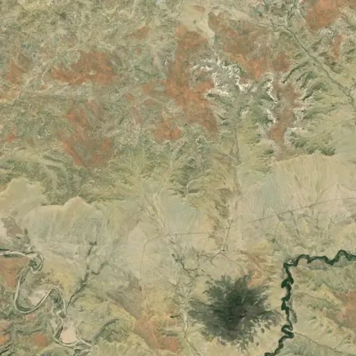
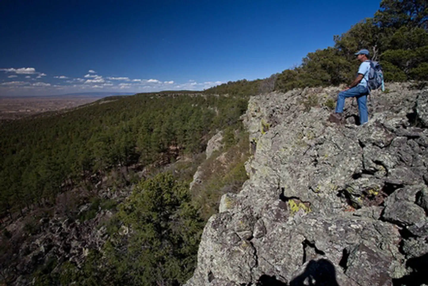
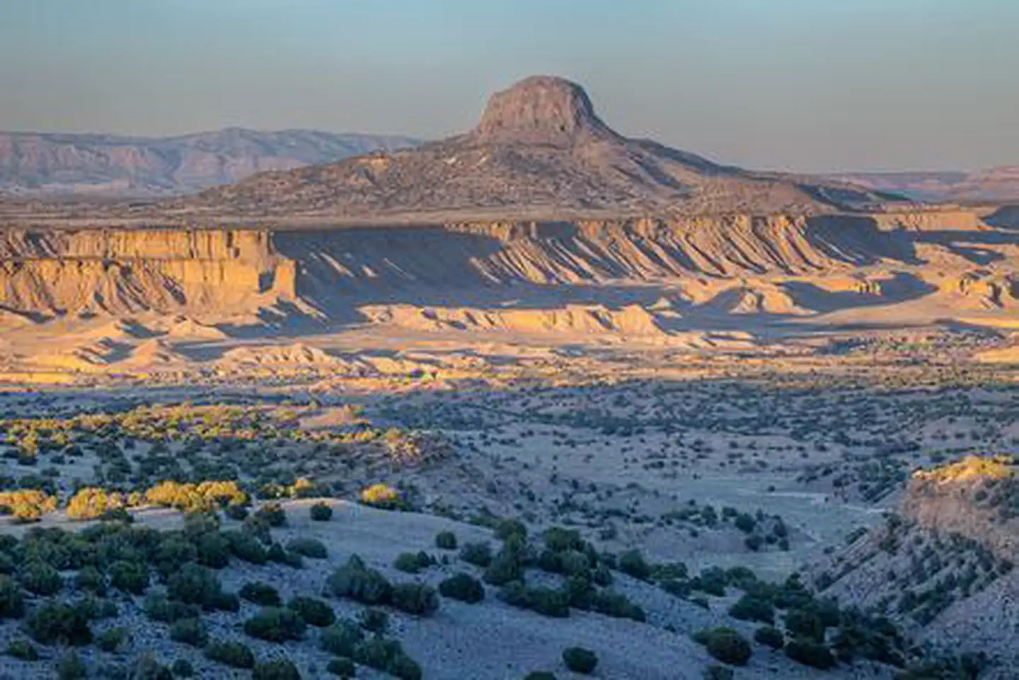
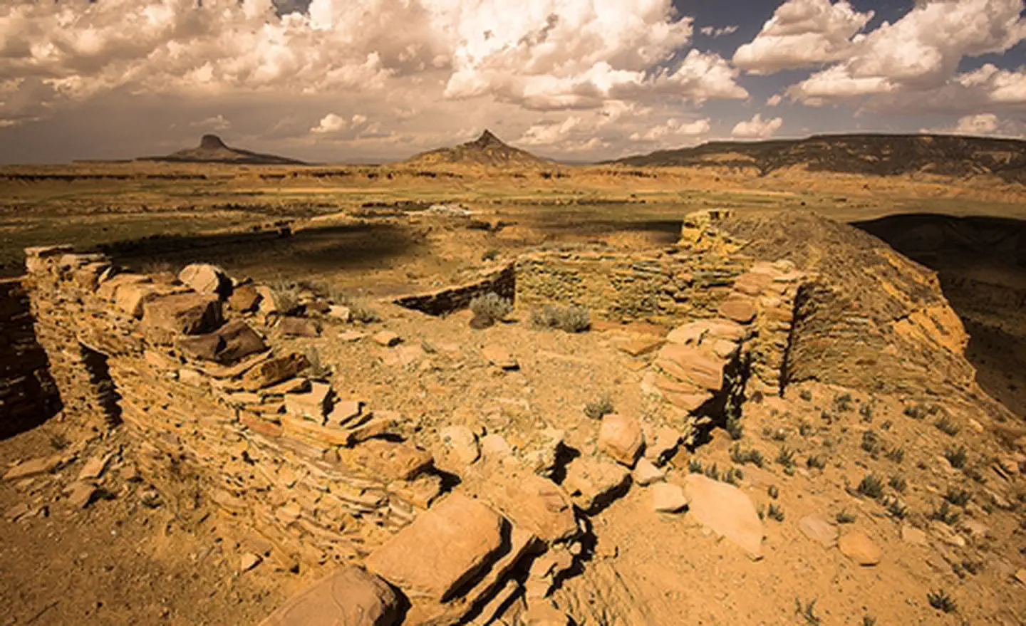
Empedrado Wilderness Study Area
Popularity
No popularity data yet
Directions
From San Ysidro, NM, drive US 550 about 18 miles north to the junction with NM
279. A green highway sign labeled, "San Luis-Cabezon" marks NM 279. Drive west
on 279, a paved road, through the small village of San Luis, after which the
road turns to gravel and dirt. Travel on this dirt road approximately 13
miles, crossing the bridge over the Chico Arroyo, until the road splits – NM
279 continues south to Guadalupe and BLM Road 1103 begins here and continues
to the right. Travel on 1103 about one mile to CR 25 which splits to the
right. Travel about 1ј mile on CR 25 to where the Continental Divide National
Scenic Trail (CDT) enters the WSA on the northeast side of the road. Though
there is no trailhead, you will see trail signs with the CDT emblem. The trail
is marked by cairns; there is no trail tread.
Stay Limit
14 Days
Reviews
Location