1 of 1 photo
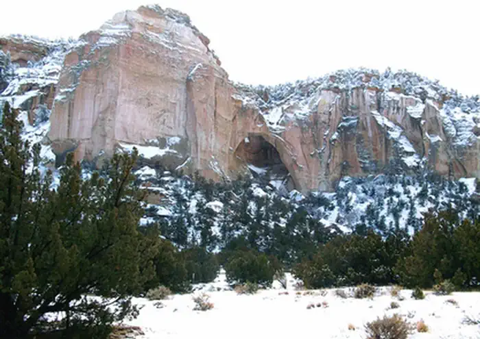
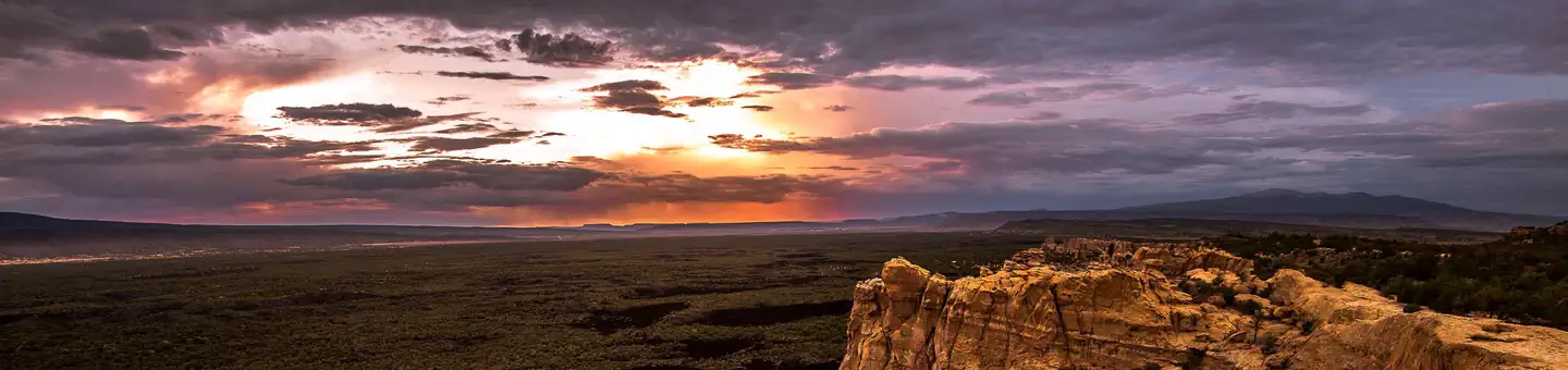
West Malpais Wilderness Area
Popularity
No popularity data yet
Directions
Hole-in-the-Wall Trails (south)
From Interstate 40, drive NM 117 south approximately 34 miles to CR 42. Drive
northwest on CR 42 approximately 2¼ miles to the intersection with a road (a
West Malpais Wilderness sign is located at this intersection). Turn right
(north) and drive approximately 4.4 miles to a locked gate, which is the
trailhead for the Hole in the Wall. Note that at 3½ miles, you will encounter
an intersection with a road leading to the right, which looks better
maintained. This road leads to a private residence, and only authorized
vehicles are allowed on it. The Hole-in-the-Wall trails are occasionally used
by ranchers with motorized vehicles, under permit, for livestock grazing
management.
Hole-in-the-Wall Trails (north)
From Interstate 40, drive NM 53 south approximately 26 miles to CR 42. Drive
CR 43 approximately 4½ miles to the Big Tubes Road. Drive this road for 3.3
miles (passing the Big Tubes parking area at 2¾ miles, on the left) and take
the left fork. Continue 1¼ miles and take the right fork just past a stock
pond at the western edge of the lava flow. Continue 0.4 miles to the southeast
and take the left fork, heading east. Continue 5.4 miles (crossing a cattle
guard at 0.2 miles and entering the forested area at 1¾ miles) to the Cerro
Encierro trailhead. Note that this is a very rough road and that the road and
trailhead are located on National Park Service lands. Anyone wishing to park
overnight should contact the National Park Service to inquire about
requirements. The Hole-in-the-Wall trails are occasionally used by ranchers
with motorized vehicles, under permit, for livestock grazing management.
Continental Divide National Scenic Trail (CDNST) (east)
The CDNST passes through the southern portion of the Wilderness. To reach the
east side of the trail, from Interstate 40, drive NM 117 south approximately
34 miles to CR 42. Drive northwest on CR 42 approximately 2¼ miles to the
intersection with a road (a West Malpais Wilderness sign is located at this
intersection). Turn right (north) and drive approximately ½ mile to a point at
which the CDNST crosses the road. There is no trailhead; you must look for
rock cairns and posts marking the trail. Note that both the east and west ends
of the trail are accessed from and connected by CR 42.
Continental Divide National Scenic Trail (west)
The CDNST passes through the southern portion of the Wilderness. From
Interstate 40, drive NM 53 south approximately 26 miles to CR 42. Drive CR 42
approximately 22½ miles to a trailhead on the south side of the road. The
trailhead is on the opposite side of the road from the Wilderness. Note that
both the east and west ends of the trail are accessed from and connected by CR
42.
Stay Limit
14 days
Reviews
Location