1 of 1 photo
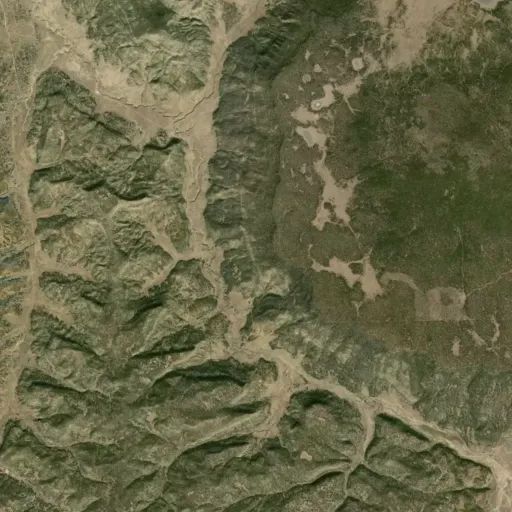
Cebolla Wilderness Area
Directions
The Cebolla Wilderness is south of Grants, NM. The Wilderness is located
within the El Malpais National Conservation Area.
La Ventana Arch Trail
From Interstate 40, Drive south on NM Hwy 117 for approximately 8.5 miles from
the BLM Ranger Station (17.5 miles from I-40) to the parking area on the left.
Narrows Rim Trail
The trailhead and parking area for the Narrows Rim Trail are located at the
south end of the Narrows Picnic Area 21.5 miles south of I-40 on NM 117.
Lobo Canyon Trail
From I-40, drive 26 miles south on NM Hwy 117 to the Cebolla Canyon Rd. Drive
approximately 5 miles (passing the Sand Canyon Rd. at approximately 3 miles)
to a parking area on the right side of the road. The trailhead is on the north
side of the road and leads to a petroglyph area
Homestead Canyon Trail
From I-40, drive 31.6 miles south on NM Hwy 117 to CR 41 (gravel, known as
�the Pietown road�). Drive south on CR 41 for approximately 2.3 miles to
Homestead Canyon Rd and turn left. Drive for just over 1 mile to a parking
area on the wilderness boundary.
Armijo Canyon Trail
From I-40, drive 31.6 miles south on NM Hwy 117 to CR 41 (gravel, known as
�the Pietown road�). Drive south on CR 41 for approximately 3.7 miles until
you reach a sign for Armijo Canyon, which will be on the east side of the
road. Turn left and after approximately 1.5 miles there is a parking area at
the wilderness boundary.
Reviews
Location


