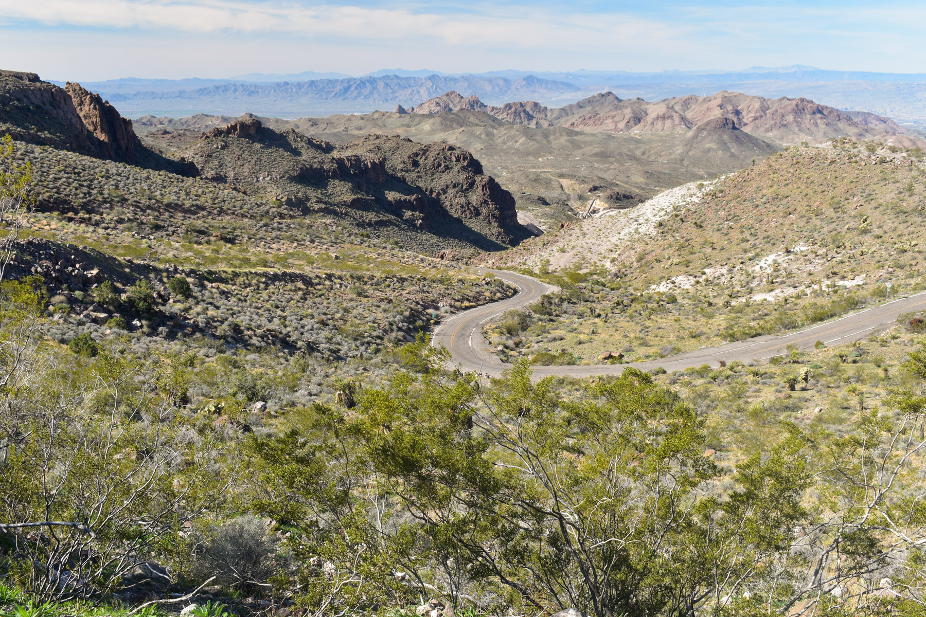
1 of 1 photo
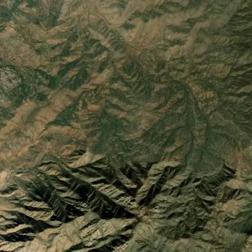
Wabayuma Peak Trail
Popularity
No popularity data yet
Directions
The trail is best access from the north along the Hualapai Ridge Road
proceeding south out of the community of Pine Lake. Access to the trailhead is
limited to high clearance four-wheel-drive vehicles, ATVs, UTVs, or
motorcycles. The route leading to the trailhead is not regularly maintained
and therefore caution should be exercised when driving the route.
The road may become impassible during periods of snowfall or prolonged
rainfall.
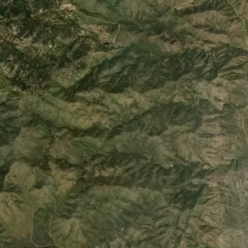
Proceed west on I-40 from Kingman for approximately 23 miles. Take Exit 25,
which is the Yucca and Alamo Road exit. Follow the signs for Alamo Road,
proceeding south and east from the interchange for 3.2 miles. Turn left onto
Boriana Mine Road and drive an additional 17.2 miles to the trailhead, which
will be on the left. Parking is available at the small pullout to the right of
the road.
Reviews
Location