1 of 1 photo
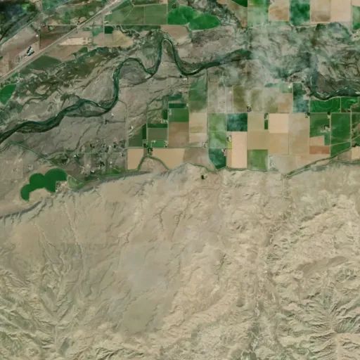
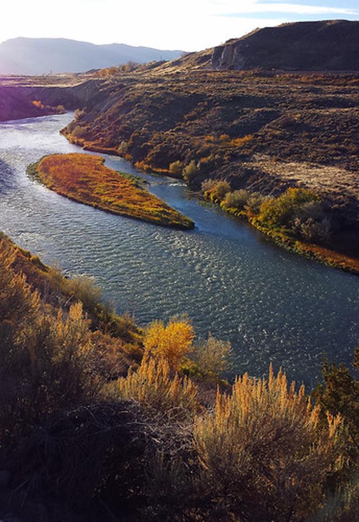
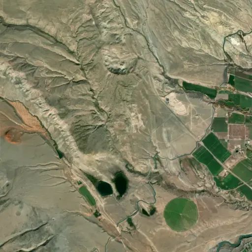
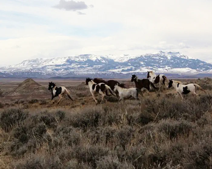
McCullough Peaks
Popularity
No popularity data yet
Directions
To reach the McCullough Peaks WSA from the south, from Cody take U.S. Highway
14/16/20 east toward Greybull for about 5 miles. Turn north (left) onto the
McCullough Peaks Road #1212. This well-graded road is directly across the
highway from the Cody Archery Range. You will reach the southern border of the
McCullough Peaks about 8 miles up Road 1212. Road 1212 follows the southern
WSA boundary for about 2 miles before it turns south and travels another 11
miles back to U.S. Highway 14/16/20. To reach the McCullough Peaks WSA from
the northwest, from Cody, take U.S. Highway 14 Alt. northeast toward Powell
for about 11.5 miles. Turn south (right) onto County Road 18. Follow County
Road 18 for approximately 0.7 miles, then turn east (left) onto County Lane
15. Follow County Lane 15 east for about 1.4 miles, then turn south (right)
onto the gravel BLM Road 1211. After traveling south on Road 1211 for about
0.75 miles, you will reach the boundary of the WSA. From there, you can choose
to travel roads along either the western or northern boundary of the WSA.
Reviews
Location