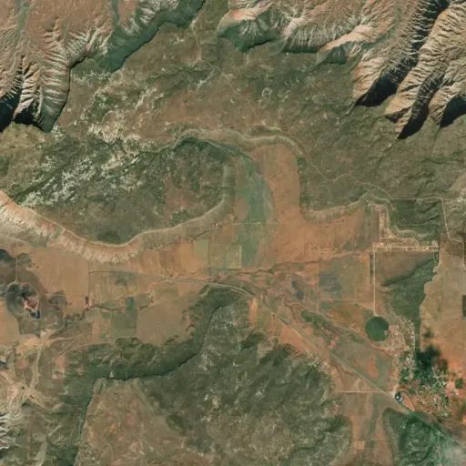
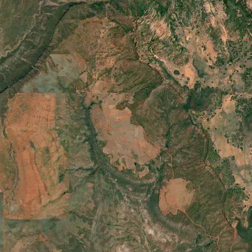
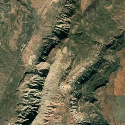
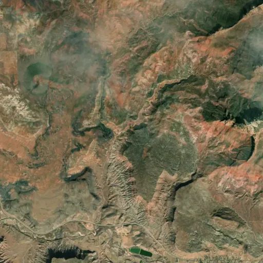
 Camp Observer
Flying Monkey Trail
Directions
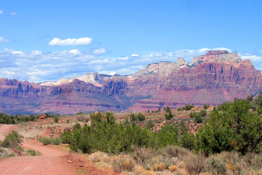
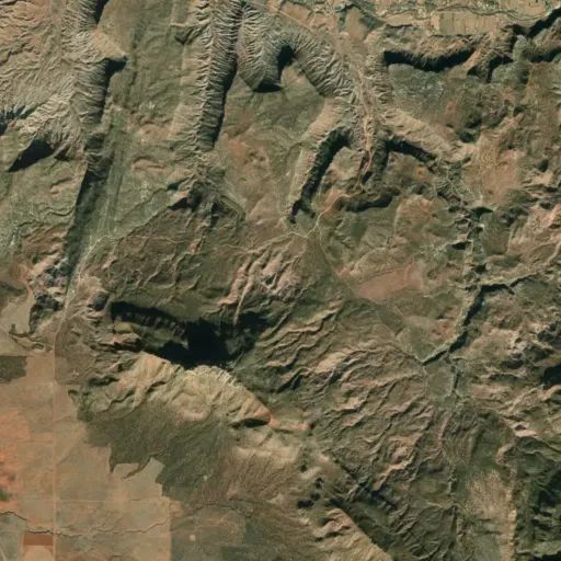
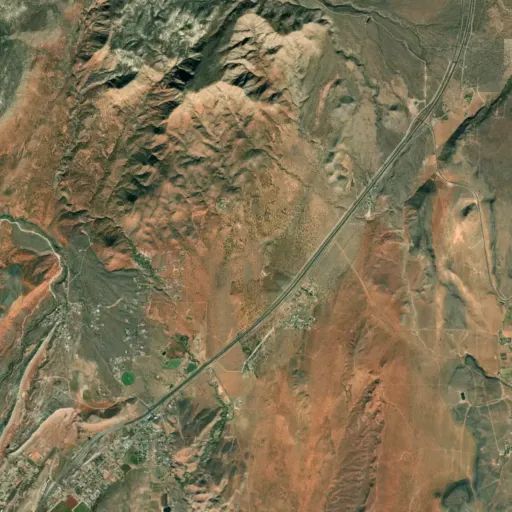
Take I-15 Exit 16 to Hurricane City (SR 9); take the exit ramp south toward Hurricane. Follow SR 9 east for approximately 17.3 miles through Hurricane and LaVerkin. Turn left on Mesa Road (1250 West) in Virgin and follow this paved, narrow, winding road up the hill for about 3.34 miles. At the top of the mesa, the road forks in three different directions: towards the left, straight ahead and to the right. Follow the main, wide dirt road that curves to the right (east) and continue 0.3 miles to a prominent dirt road on the right (east). Turn right onto this road. Consider parking your vehicle and hiking or biking from this point on, as the dirt road narrows and begins to cover more difficult terrain. Continue on this southeast route until you are eventually heading east, following the southern rim of Smith Mesa. Approximately 1.1 miles after the turn off from the main dirt road, you will encounter rock cairns marking the beginning of the Flying Monkey Trail on your right along the rim.
Reviews
No reviews yet