1 of 4 photos
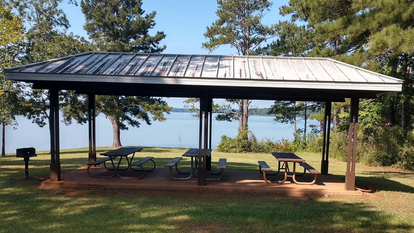
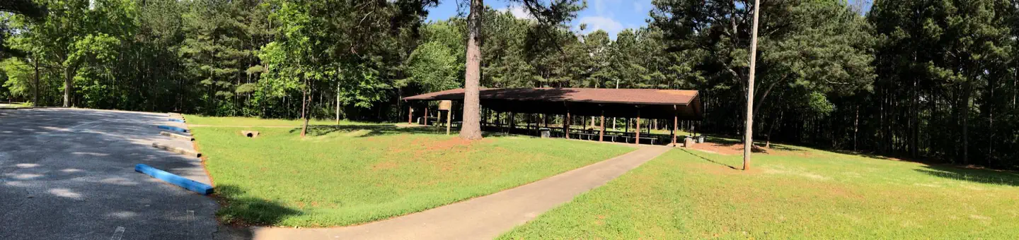
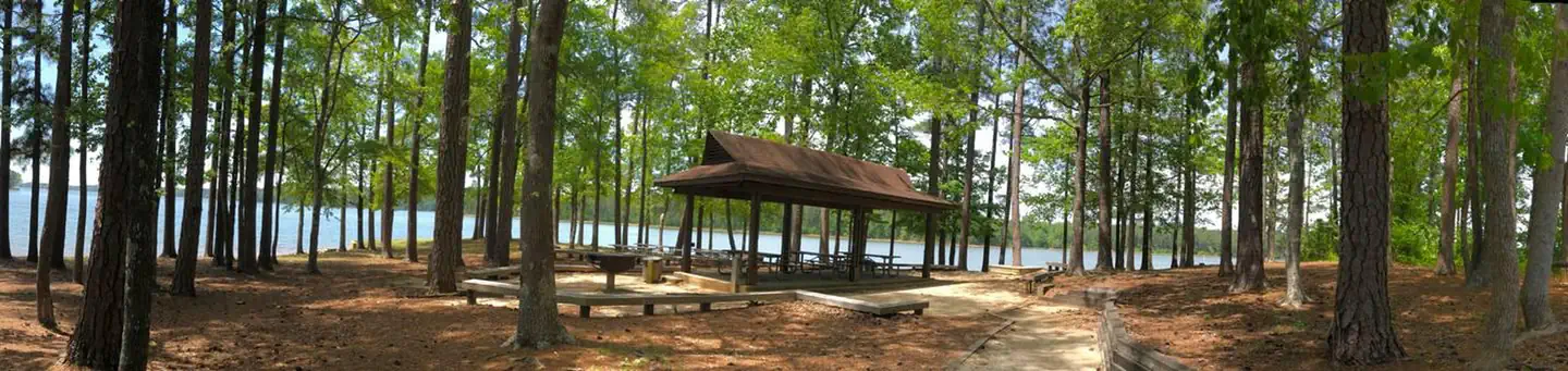
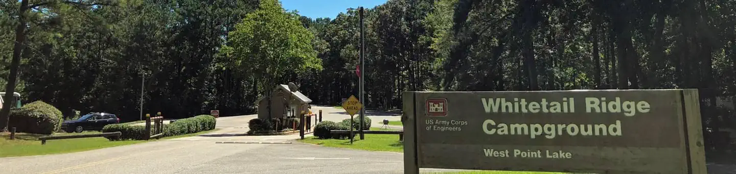
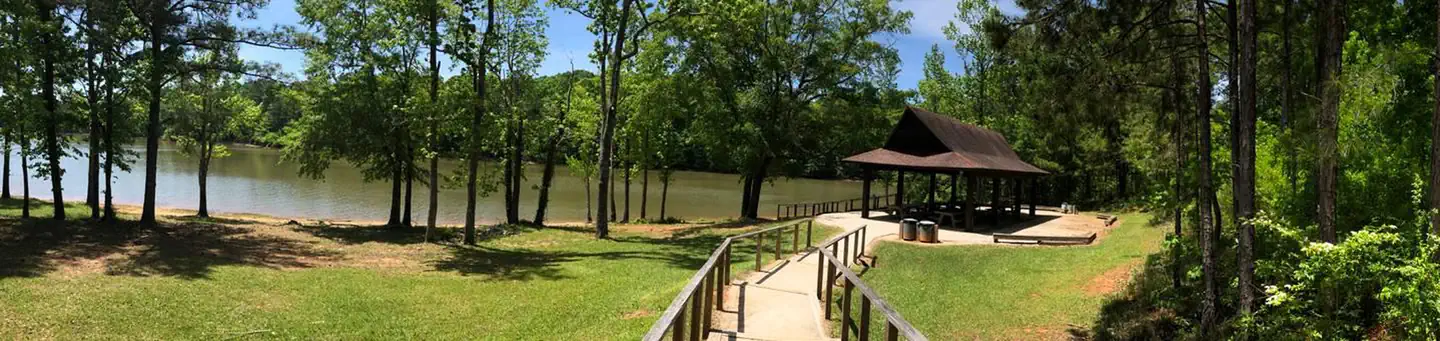
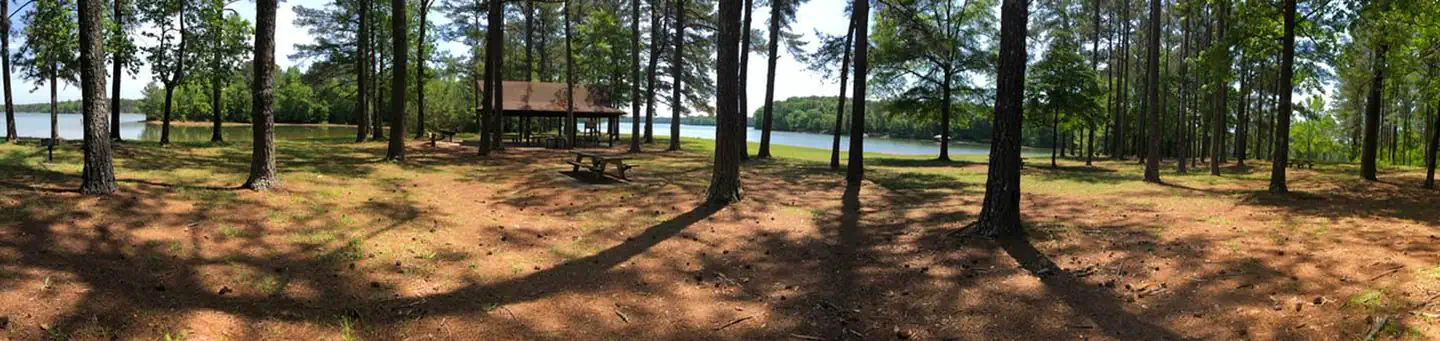
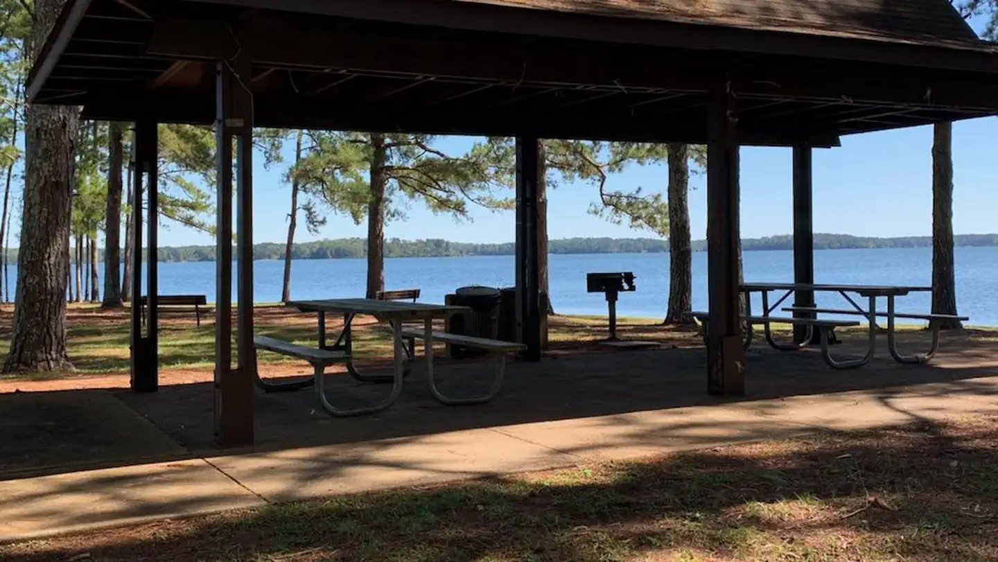
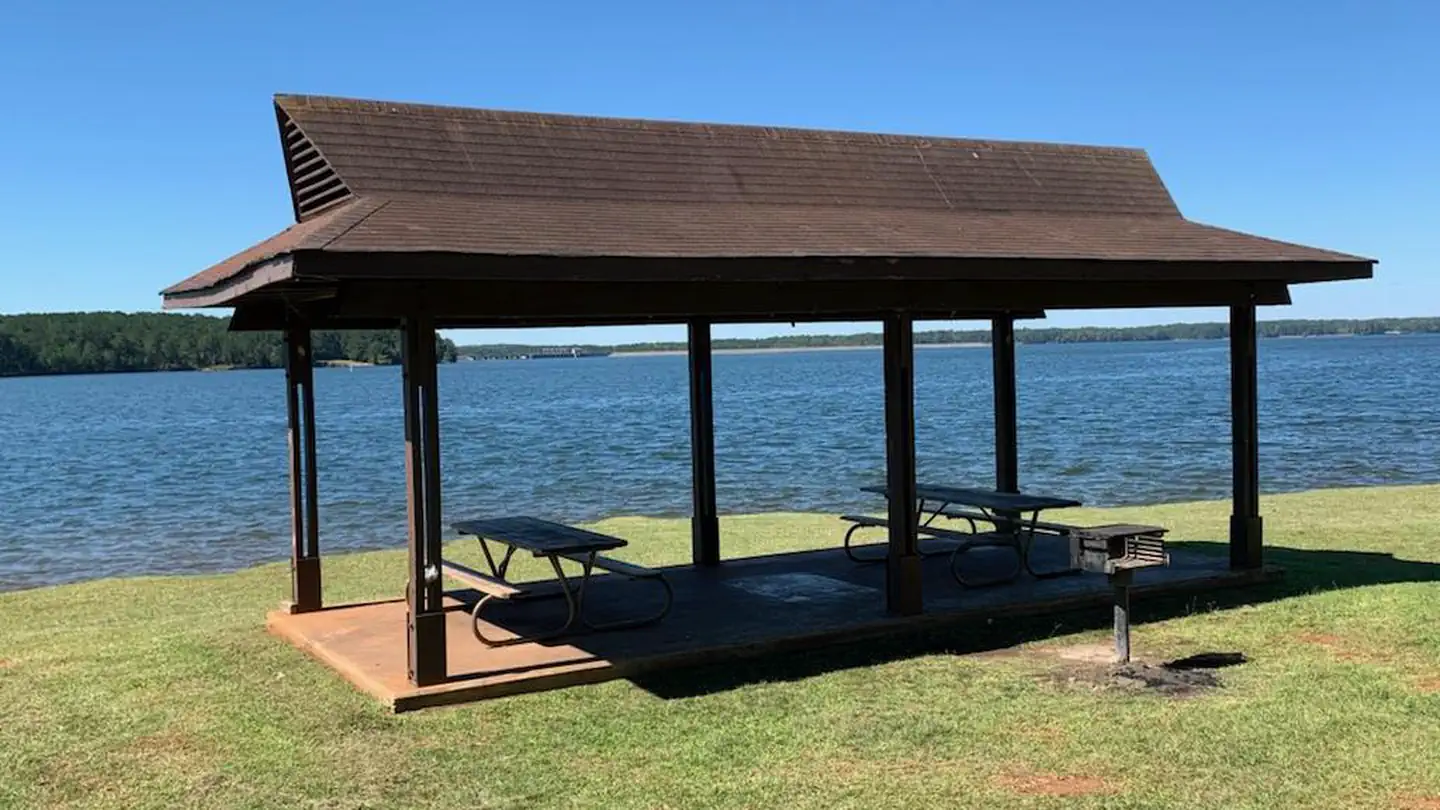
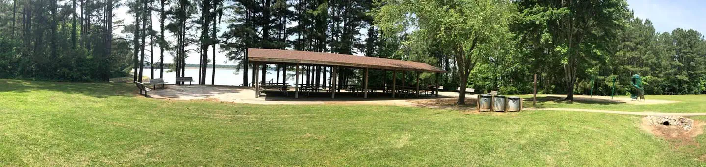
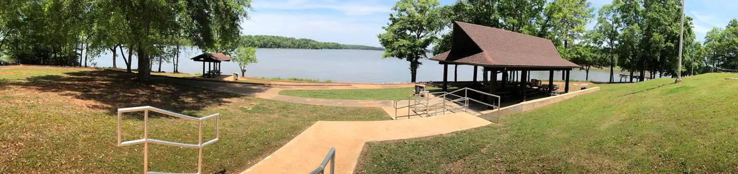
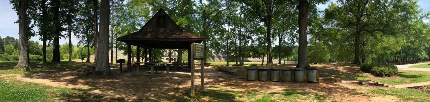
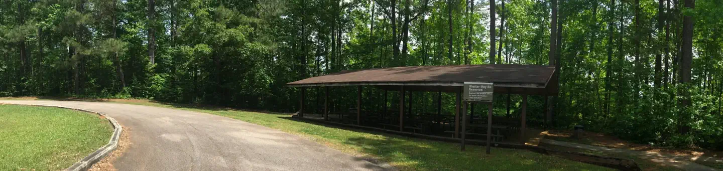
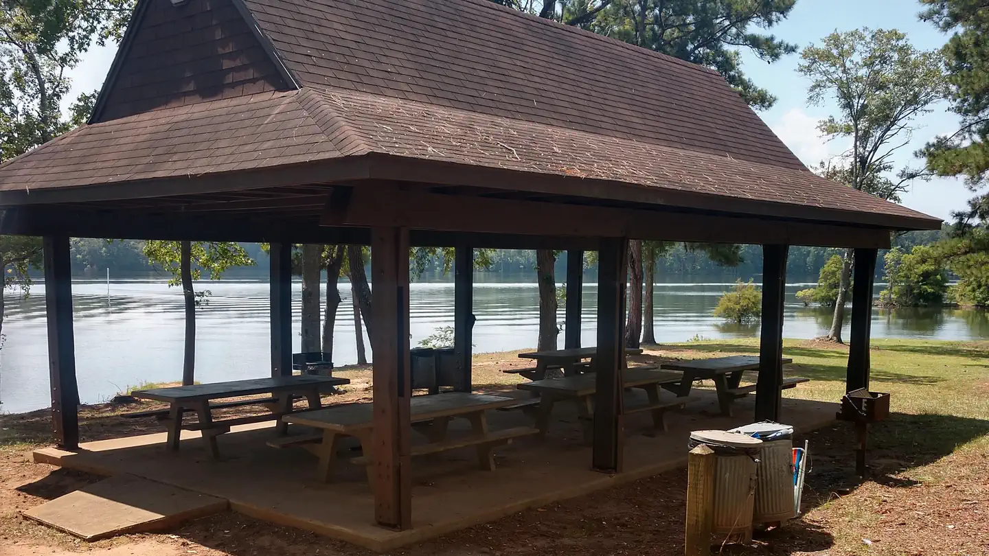
Earl Cook Recreation Area
Directions
From West Point take Highway 29 north approximately six miles to the sign on
the left for Earl Cook Park. Turn left on Lower Glass Bridge Road which dead
ends at Earl Cook Park. Take the first left, then the first right to the
shelter.
Reviews
Popularity
No popularity data yet
Location