Camp Observer
Upper Burnt Corral
0
Directions
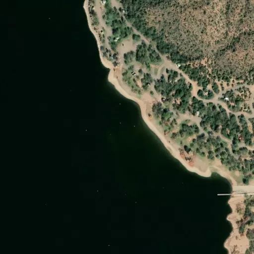
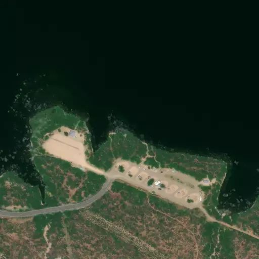
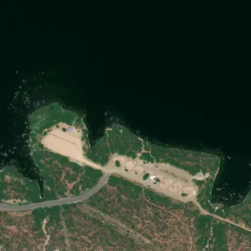
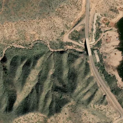
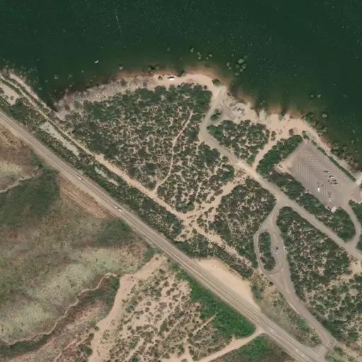
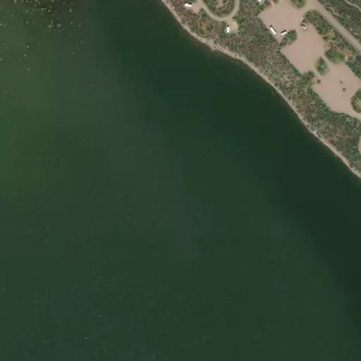
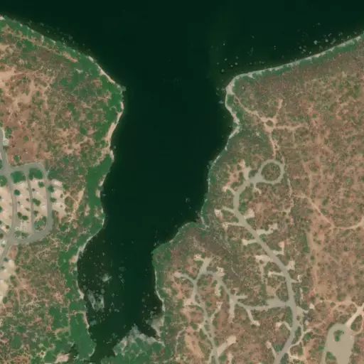
This site is 5 miles south of Roosevelt Dam on the south shoreline of Apache Lake.
From Apache Junction: Drive north on State Hwy. 88 for 39 miles (the last 20 miles of State Hwy. 88 are unpaved) to Forest Road (FR) 52/Upper Burnt Corral Recreation Site. Turn left and continue to site.
From Mesa: Take State Hwy.87/Beeline Highway north for approximately 60 miles to its junction with State Hwy. 188. Turn right onto State Hwy. 188 for 33 miles to its junction with State Hwy. 88. Turn right onto State Hwy. 88, and drive past historic Roosevelt Dam (unpaved) for 5 miles to Forest Road (FR) 52/ Upper Burnt Corral Recreation Site. Turn right and continue to the site.
From the Globe area: Take State Hwy. 188 west for 30 miles to its junction with State Hwy. 188. Turn left onto State Hwy. 88, and continue past historic Roosevelt Dam (unpaved) for 5 miles to Forest Road (FR) 52/ Upper Burnt Corral Recreation Site. Turn right into the site.
Reviews
No reviews yet
Availability
Sites here are first come, first served — there's no availability to check or reserve.
Camp Sites
Availability not checked yet
We don't have availability data yet for camp sites at .
Interested in seeing what camp sites you can reserve here? Check it now, or watch this campground so we keep checking it for you.