Camp Observer
Burnt Corral Cg
0
Directions
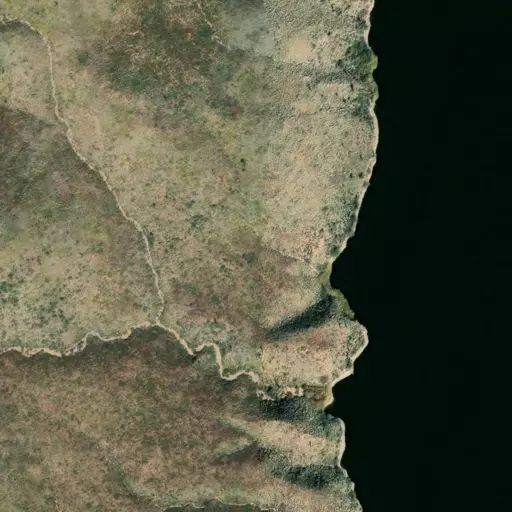
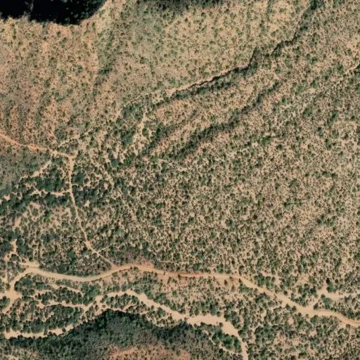
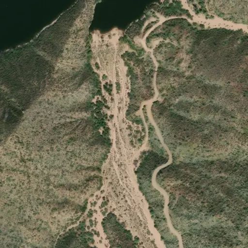
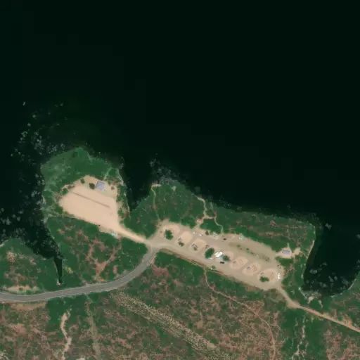
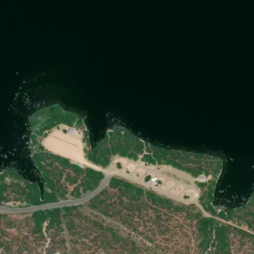
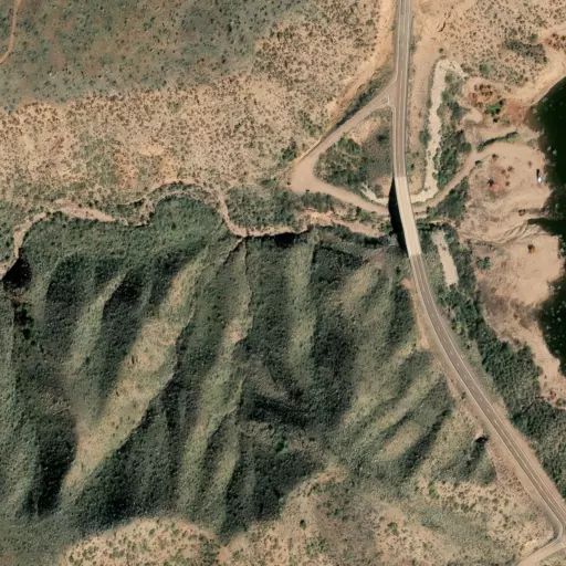
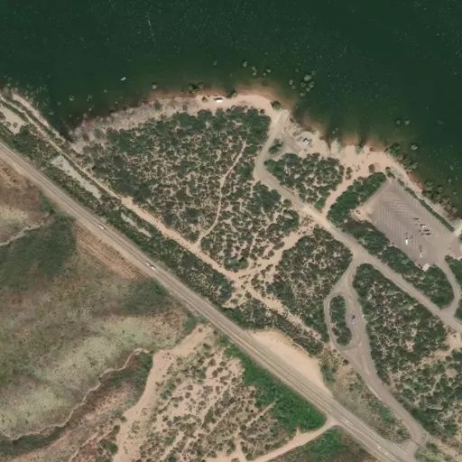
This site is 6 miles south of Roosevelt Dam on the south shoreline of Apache Lake. From Mesa: Take the Beeline Highway/State Hwy.87 north for approximately 60 miles to the junction of State Hwy. 188. Turn right and follow State Hwy. 188 for 33 miles to the junction with State Hwy. 88. Turn right on State Hwy. 88 and drive past Roosevelt Dam. Follow State Hwy. 88 for 5 miles to Forest Road (FR) 183; turn right and continue an additional mile to the site.
From Claypool (between Globe & Miami): Take State Hwy. 188 northwest for 29 miles to the junction of State Hwy. 88. Follow State Hwy. 88 (it heads southwest and becomes an unpaved road) for 5 miles to Forest Road (FR) 183; turn right and continue an additional mile to the site.
Reviews
No reviews yet