U.S. Department of Agriculture, U.S. Forest Service Santa Fe National Forest
Pecos/Las Vegas Ranger District
TEMPORARY AREA, ROAD, AND TRAIL CLOSURES FOR HERMITS PEAK AND CALF CANYON POST-FIRE IMPACTS
PROHIBITIONS
Pursuant to 16 U.S.C. § 551 and 36 C.F.R. § 261.50(a) and (b), the following are prohibited on the
National Forest System (NFS) lands, roads, and trails in the Pecos/Las Vegas Ranger District, Santa
Fe National Forest, described below and shown on the attached map incorporated into this Order
as Exhibit A (the “Described Areas/Roads/Trails”):
- Going into or being upon the Described Areas which are closed for the protection of public
health and safety. 36 C.F.R. § 261.53(e). - Using a vehicle on the Described Roads. 36 C.F.R. § 261.54(a).
- Being on the Described Trails. 36 C.F.R. § 261.55(a).
EXEMPTIONS
Pursuant to 36 C.F.R. § 261.50(e), the following persons are exempt from this Order:
- Persons with Forest Service Permit No. FS-7700-48 (Permit for Use of Roads, Trails, or Areas
Restricted by Regulation or Order), specifically exempting them from this Order or a written
determination by a Forest Service authorized officer that a permit is not required under 36 C.F.R.
§ 251.50(e)(1) or (2). - Any Federal, State, or Local Officer, or member of an organized rescue or firefighting resource
in the performance of an official duty. - Landowners crossing NFS lands in order to access their private property.
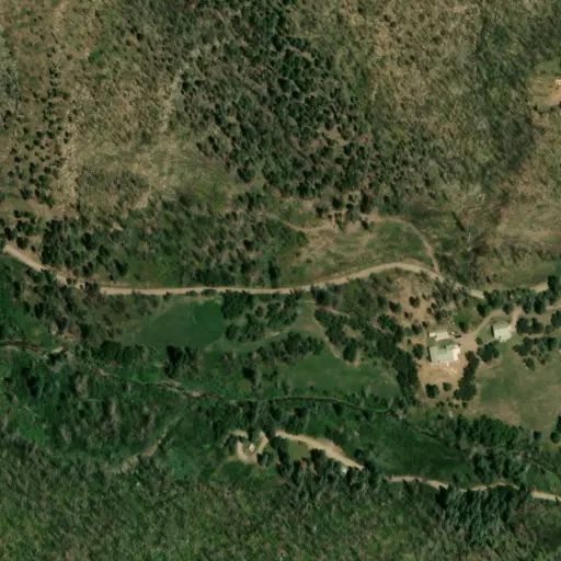
DESCRIBED AREAS/ROADS/TRAILS
- The Barillas Lookout area specifically, all NFS lands within the boundary starting at the
western junction of National Forest System Road (FR) 83 and FR 83Y, then following FR 83 in a
northeasterly direction to its junction with FR 83Y, then following FR 83Y in a westerly direction
to its junction with FR 83, the place of beginning. - FR 83 starting at its western junction with FR 83Y, then traveling west until its eastern
junction with FR 83Y. - FR 263 in its entirety, starting at the National Forest Boundary, then traveling approximately 9
miles until its terminus at the Burro Basin Recreation Site (Trailhead). - FR 263B, in its entirety, starting at its junction with FR 263, then traveling in a
northwesterly direction until it terminates at the boundary with the private land inholding near
Harvey Ranch. This includes all non-contiguous sections of FR 263B. - FR 263C in its entirety, starting at its junction with FR 263 the National Forest
Boundary, coordinates 105°29'37"W 35°43'3"N, then traveling in a southwesterly direction until it terminates at the private land inholding at Calf Canyon. - NFS Trail 251, the Skyline Trail, starting at its junction with FR 83 (coordinates 105°28'51"W
35°34'23"N), then traveling in a northerly direction for approximately 13 miles to its junction
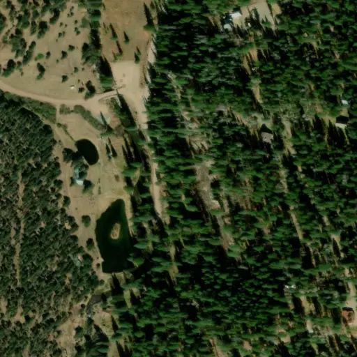
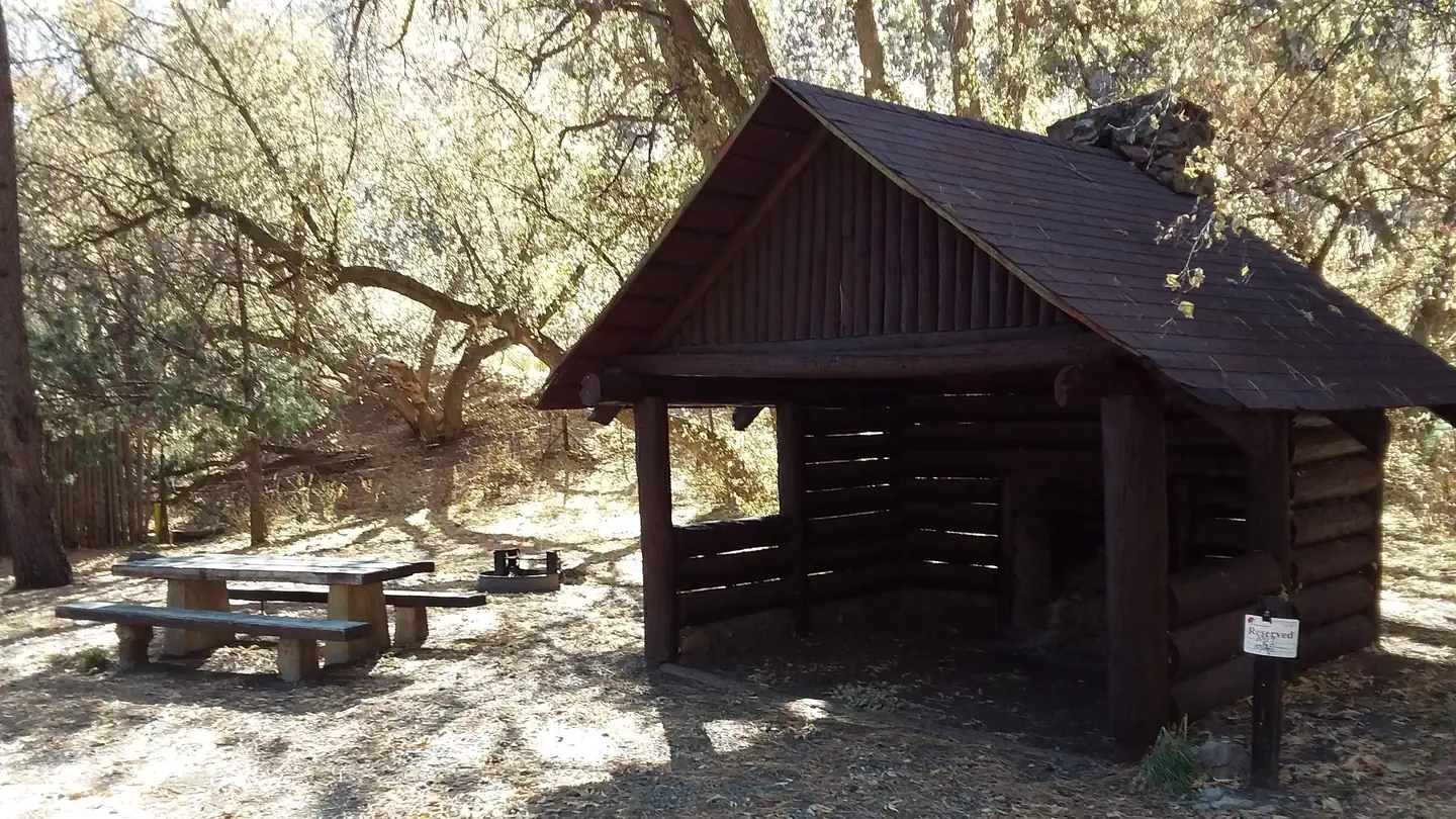
with FR 645. - All NFS lands within the developed recreation sites along FR 261 and FR 263 including: El
Porvenir Developed Recreation Site (Campground), 35.42’42” N, - 105.24’41” W, EV Long Developed Recreation Site (Campground), 35.41’53.73 N, - 105.25’24”W, Baker Flat Developed Recreation Site
(Picnic Site), 35.42’23” N, 105.26’25”W, Oak Flats Developed Recreation Site (Picnic Site)
35.42’12” N, 105.26’3”W, Big Pine Developed Rec Site (Picnic Site) 35.42’46”N, 105.27’51”W, and
Burro Basin Developed Recreation Site (Trailhead) 35.43’27”N, 105.30’31”W.
PURPOSE
The purpose of this Order is to protect public health and safety from Hermits Peak and Calf Canyon
post-fire conditions.
IMPLEMENTATION
- This Order shall be in effect from May 4, 2026, at 8:00 a.m. through December 31, 2027, at 12:00
a.m., unless rescinded. - A map identifying the Described Areas/Roads/Trails, is attached and made part of this Order as
Exhibit A. For a digital version of this Order and Exhibit A, go to
https://www.fs.usda.gov/alerts/santafe/alerts-notices. - Unless otherwise expressly defined in this Order, the terms used in this Order are defined by
the regulations of the Secretary of Agriculture, 36 C.F.R. Chapter II, Parts 200-299. If there are
terms in this Order that are not expressly defined in the Order or 36 C.F.R. Chapter II, Parts
200-299, their meaning shall be determined by their plain language definitions. - A violation of the above prohibitions is punishable as a Class B misdemeanor by a fine of not
more than $5,000 for individuals and $10,000 for organizations, or by imprisonment for not more
than six months, or both. 16 U.S.C. § 551; 18 U.S.C.
§§ 3559, 3571, and 3581. - Contact the Pecos Ranger District in Pecos, (505) 603-6121, the Las Vegas Ranger District in Las
Vegas, New Mexico, (505) 425-3534, or Santa Fe National Forest Supervisor’s Office in Santa Fe, New Mexico, (505) 438-5300, for more information about this Order. - This Order supersedes any previous Orders prohibiting the same or similar acts on the same
Described Areas/Roads/Trails.
Signed and issued on May 4, 2026 .
Shaun Sanchez
Forest Supervisor
Santa Fe National Forest
PURPOSE
The purpose of this Order is to protect public health and safety from Hermits Peak and
Calf Canyon post-fire conditions.