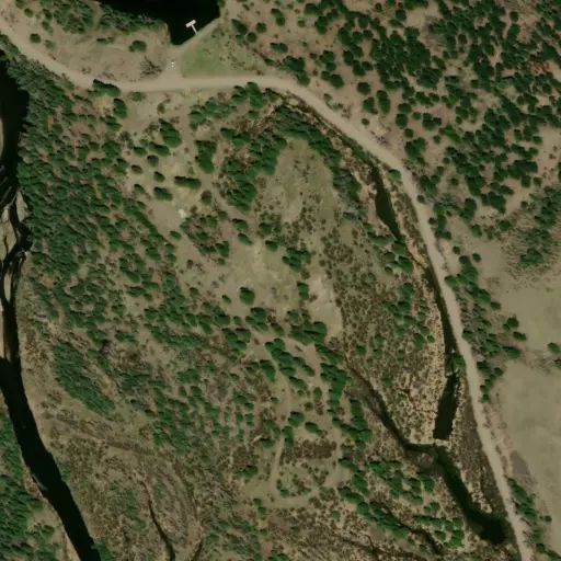
The West Fork Rio Chama trail is 1 1/4 miles long. It begins at Forest Trail 738 and ends at the junction with Trail 741. Trail 741 was formerly numbered as Trail 740 from this junction on.
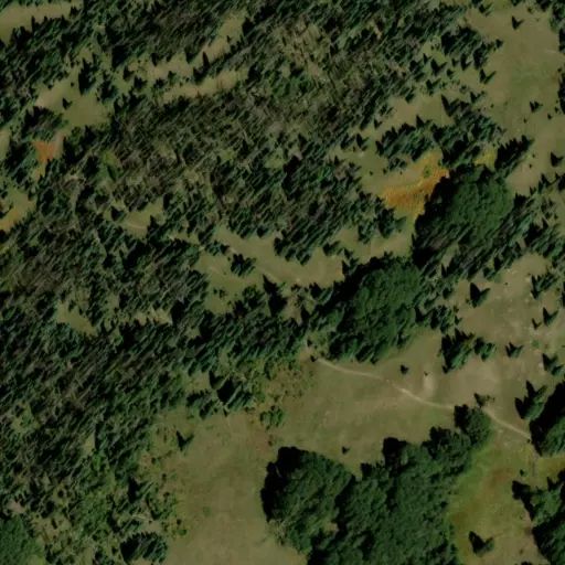
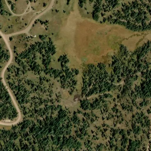
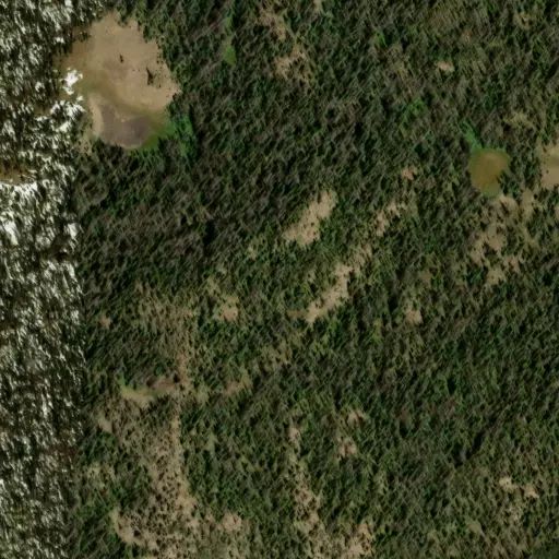
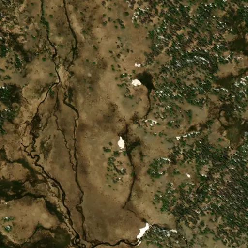
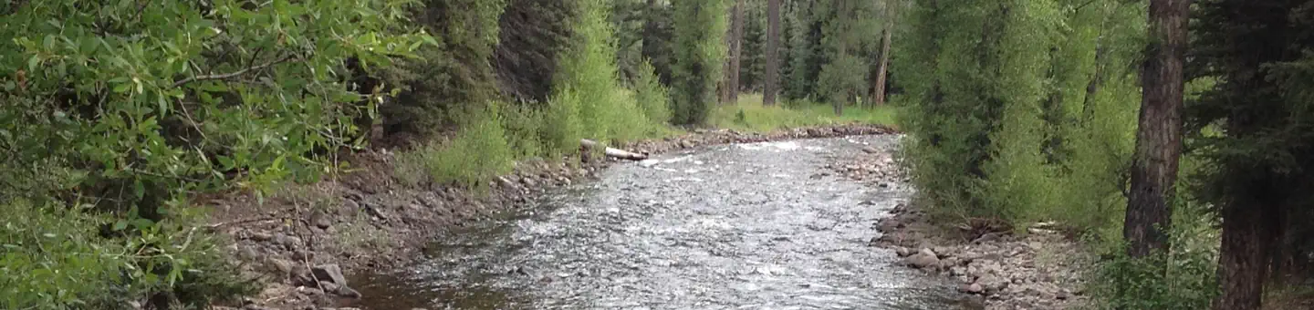
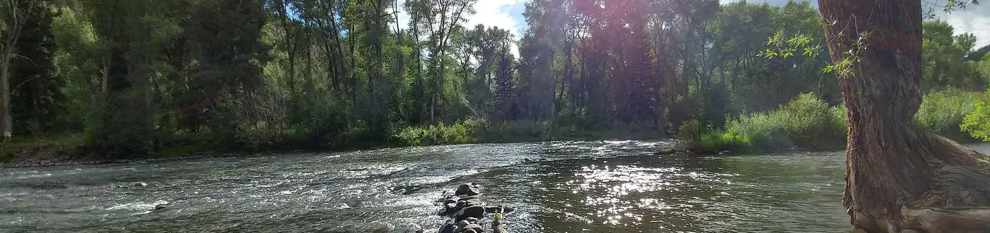
The West ChamaTrail provides access to upper Chama Basin, an area of virgin spruce-fir forests surrounding steep and coloful volcanic cliffs. Waterfalls tumbling over the cliffs can be seen from almost any vantage point. The fall is an especially good time to visit Chama Basin, when the slopes of aspen are in full splendor.
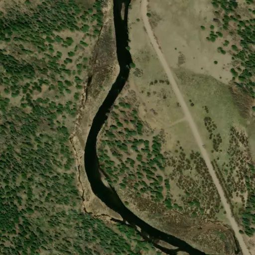
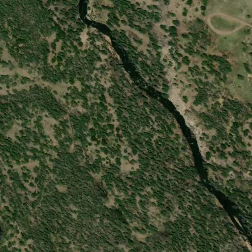
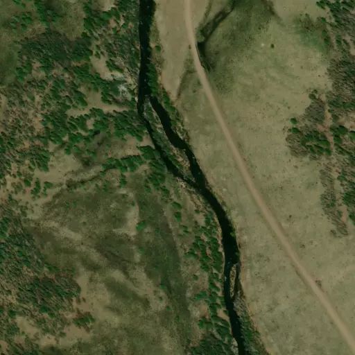
The West Chama Trail climbs steeply away from the Chama River along a small tributary stream within an aspen forest. As the trail leaves this tributary and follows the Chama River to the confluence of the East and West Forks, it stays high above the river and passes through dry subalpine meadows and scattered aspen stands. A spectacular view of the entire valley is afforded from the trail above the confluence. Banded Peak, a local landmark, rises massively on the left as one climbs up the trail. The strenuous climb up the cliff to the Forest Boundary rewards the hikers with a view of Chama Basin and south into New Mexico that is unsurpassable.
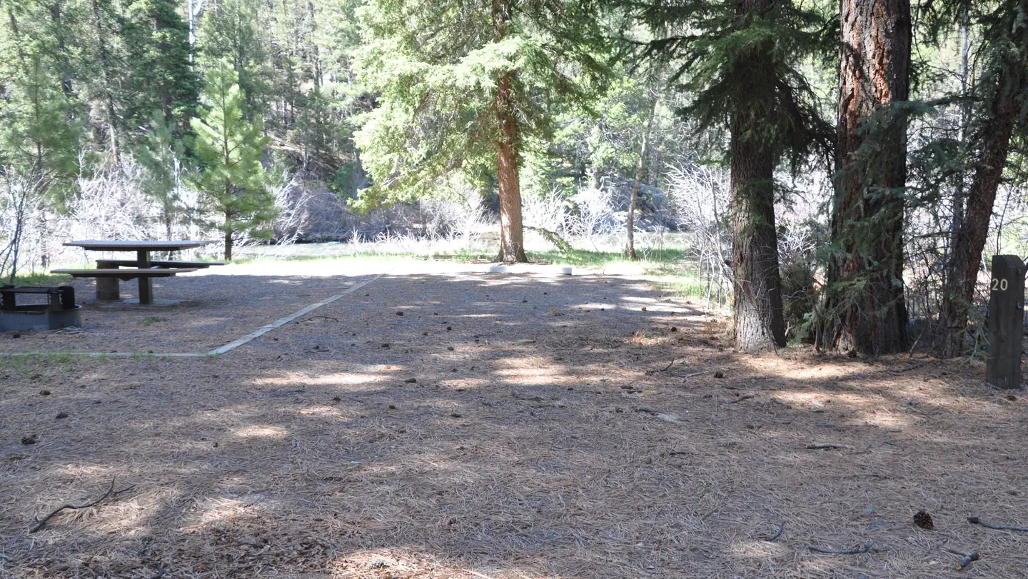
The trail is open for the following uses: Horseback riding, mountain biking, hiking, and backpacking.