Overview
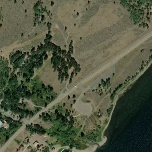
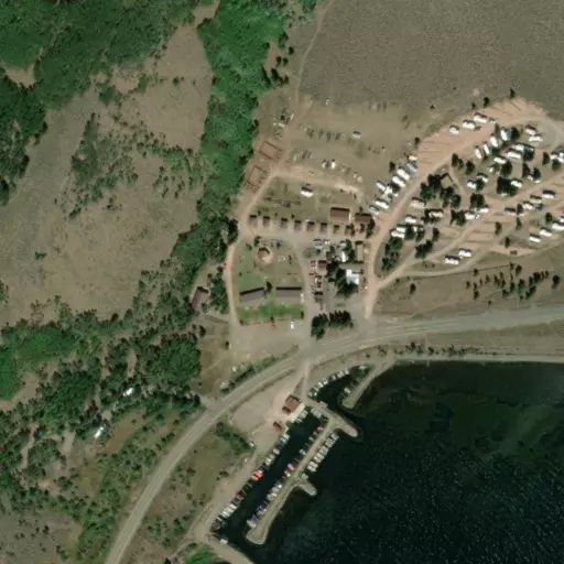
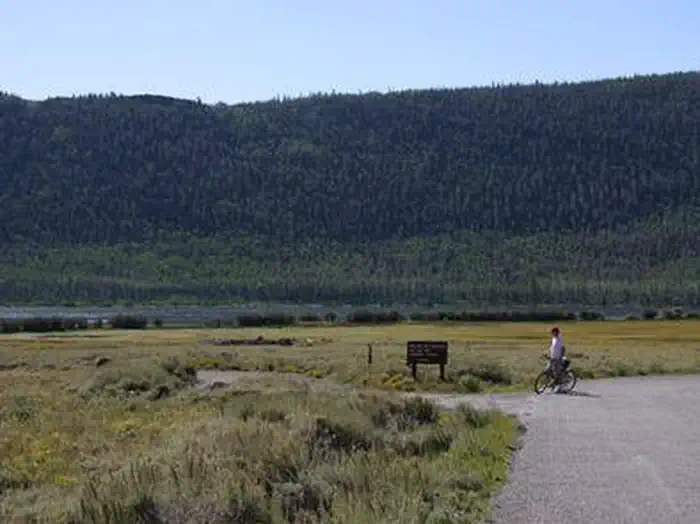
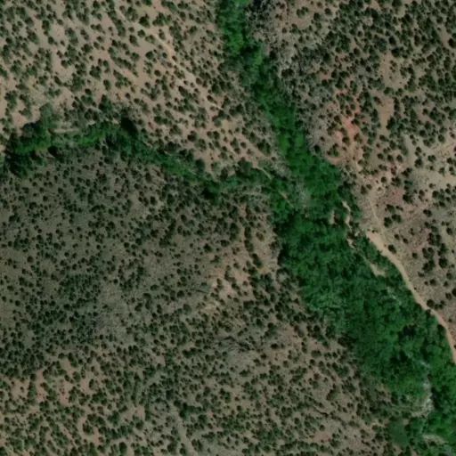
Twin Creeks Picnic Area is is a day-use site located next to Fish Lake, Twin Creeks and the Fishlake Scenic Byway at an elevation of 8,800 feet. Visitors enjoy fishing, boating, exploring local trails and viewing spawning salmon from the board walk that meanders along the creek. This takes place mid to late fall. Some fish can usually be found year round.
Recreation
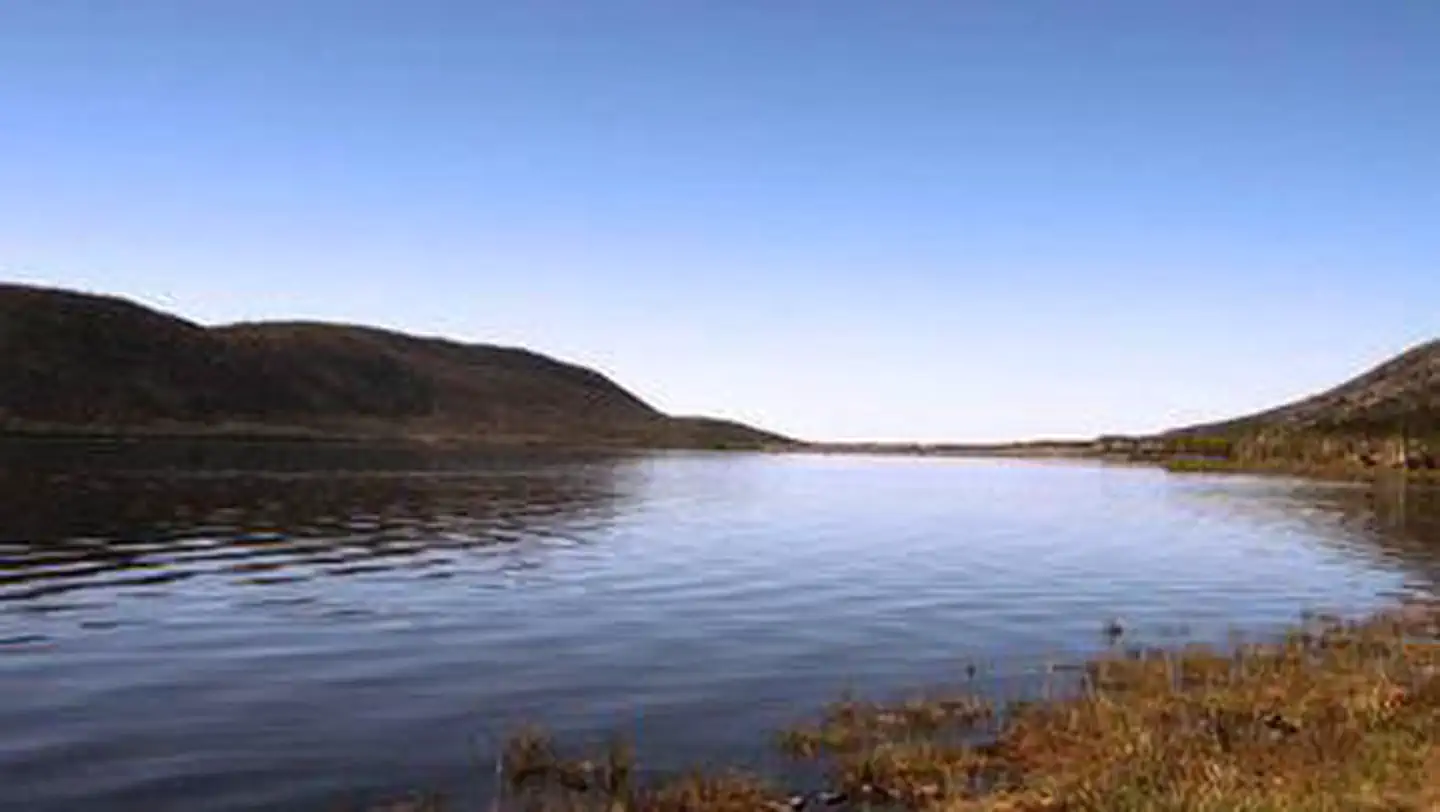
Fish Lake is Utah's largest natural mountain lake, covering 2,500 acres. It is famous for its 20-40 pound Mackinaw lake trout. Anglers also enjoy fishing for rainbow trout and splake. Boating, canoeing, swimming and scuba diving are popular activities.
The 5-mile Pelican Canyon Trail begins a mile away at Bowery Creek Campground. It leads through meadows and dense forests of spruce, pine and aspen as it climbs to the 11,633-foot Fish Lake Hightop.
The popular Lakeshore National Recreation Trail extends around the eastern side of the lake. Hikers are rewarded with stunning lake views after climbing 900 feet in elevation.
Facilities
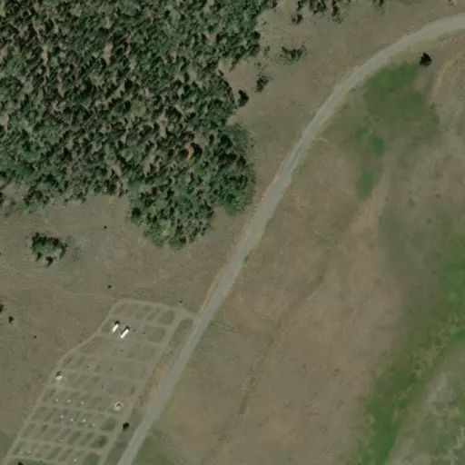
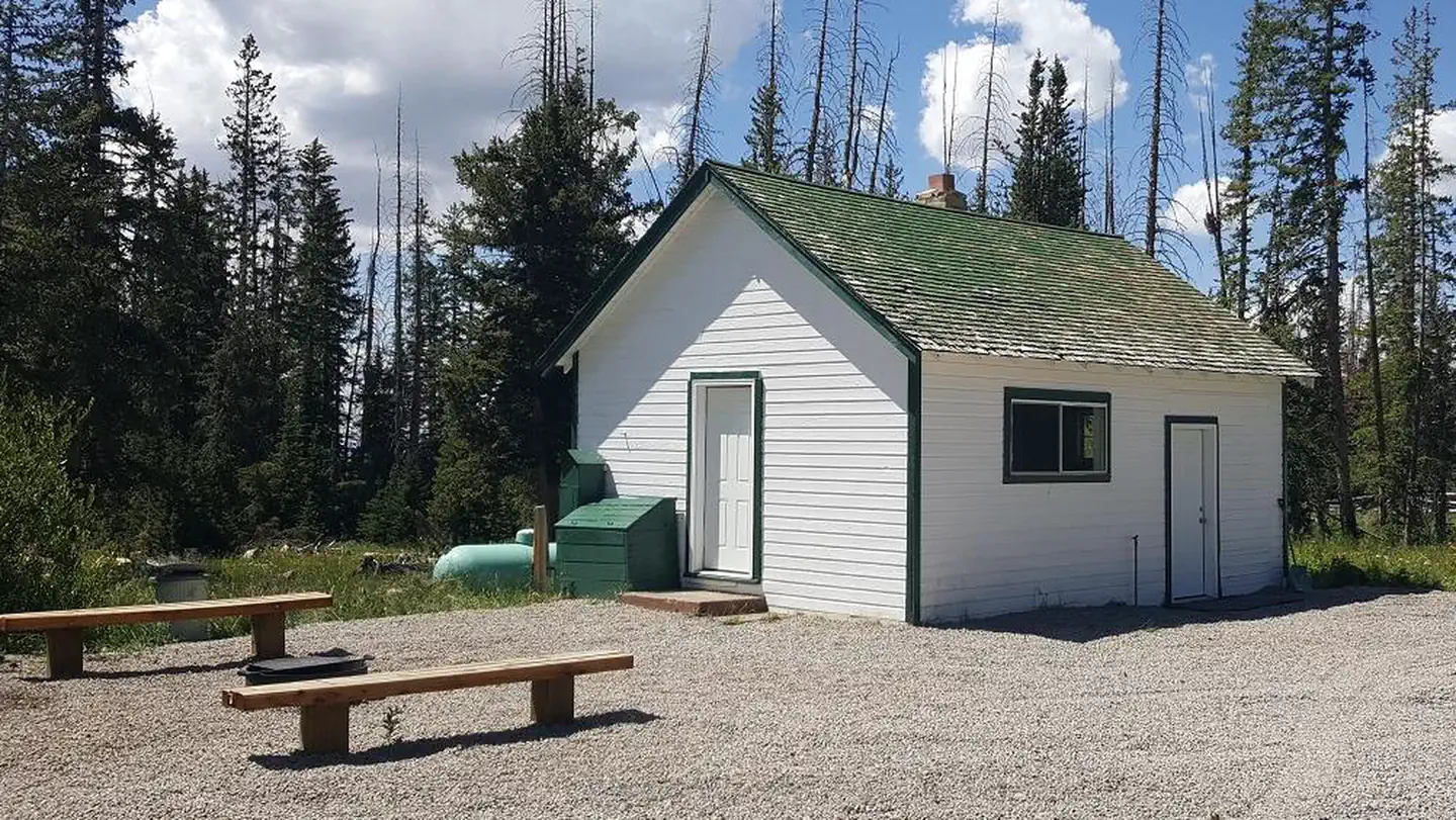
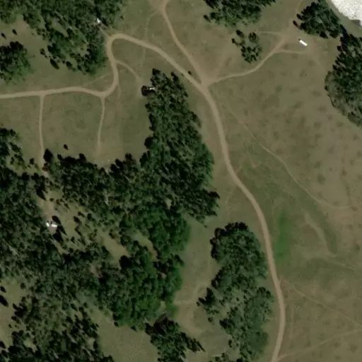
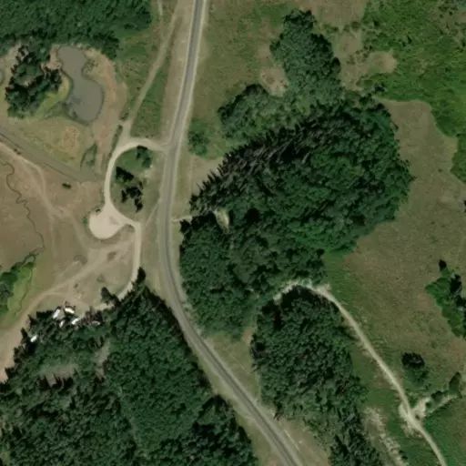
Twin Creeks contains one accessible group picnic site that can accommodate up to 100 people. A large shelter with lake views is on-site, covering several picnic tables, grills and a campfire ring. An amphitheater is located to the north across the parking area, ampatheator use can be coordinated through the visitor center or by calling Fremont Rivier Ranger District. 435-836-2800
Pavillion rental does not restrict day use from other visitors utalizing the Twin Creeks area or acess to boardwalk and visitor center.
Power outlets, lights, flush toilets and drinking water are provided with rental. The large parking area and short trail to the shelter are paved and ADA accesable. Twin Creeks boardwalk is located nearby for fish viewing. Please do not disturb the fish!
Trash collection is not provided with rental of pavillion. Please deposit all trash at dumpster sites located at Mackinaw on highway 25 and Doctor Creek dumpstation.
Natural Features
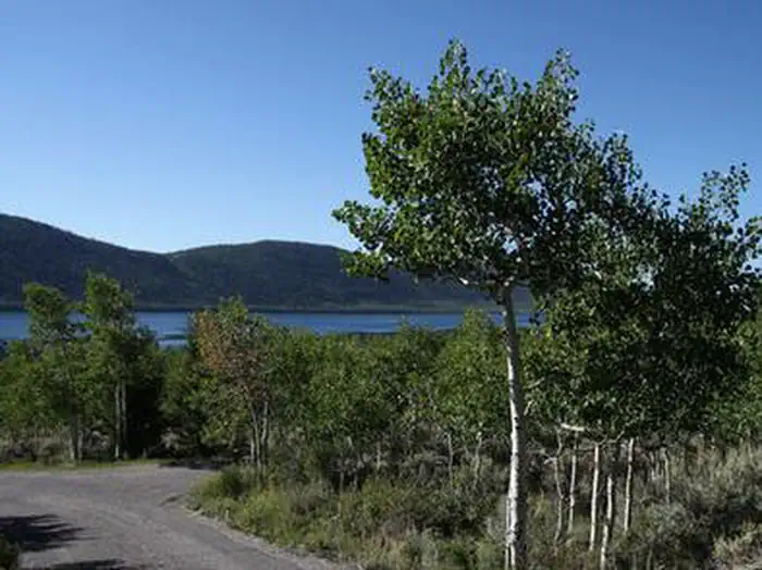
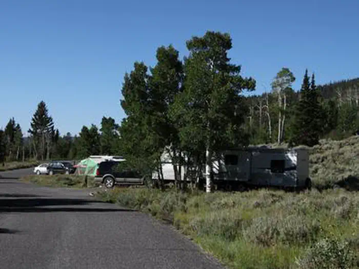
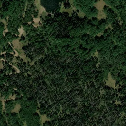
The shelter sits amid scattered pines and aspens on the shore above Fish Lake. Sagebrush and summer wildflowers dot the landscape.
Nearby Attractions
Johnson Valley Reservoir is just north of Fish Lake, offering additional fishing and boating opportunities. Pando Clone is located on the south end of the basin and identified with signs along highway 25. Lakeshore trail a varying 17 mile loop.