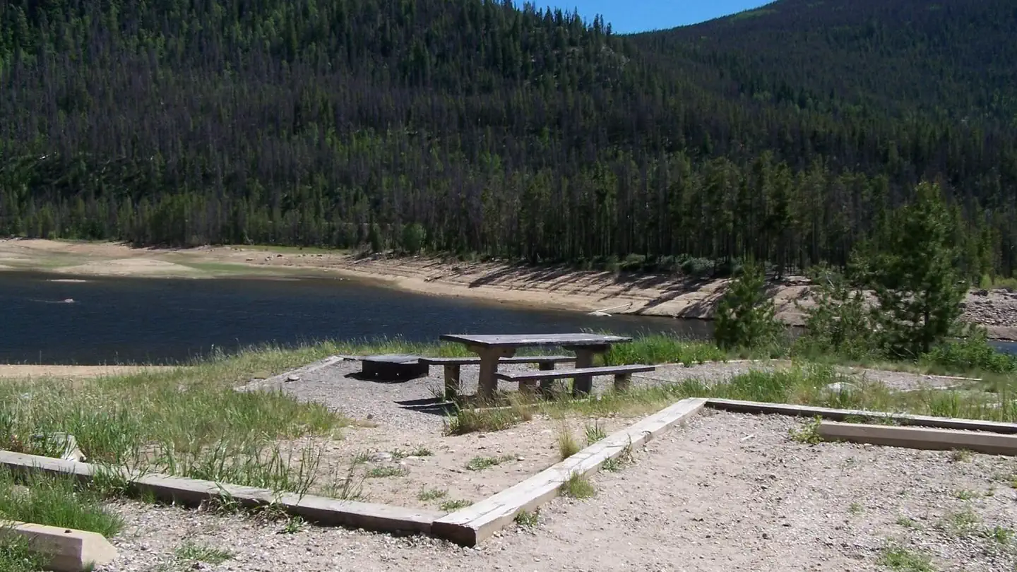
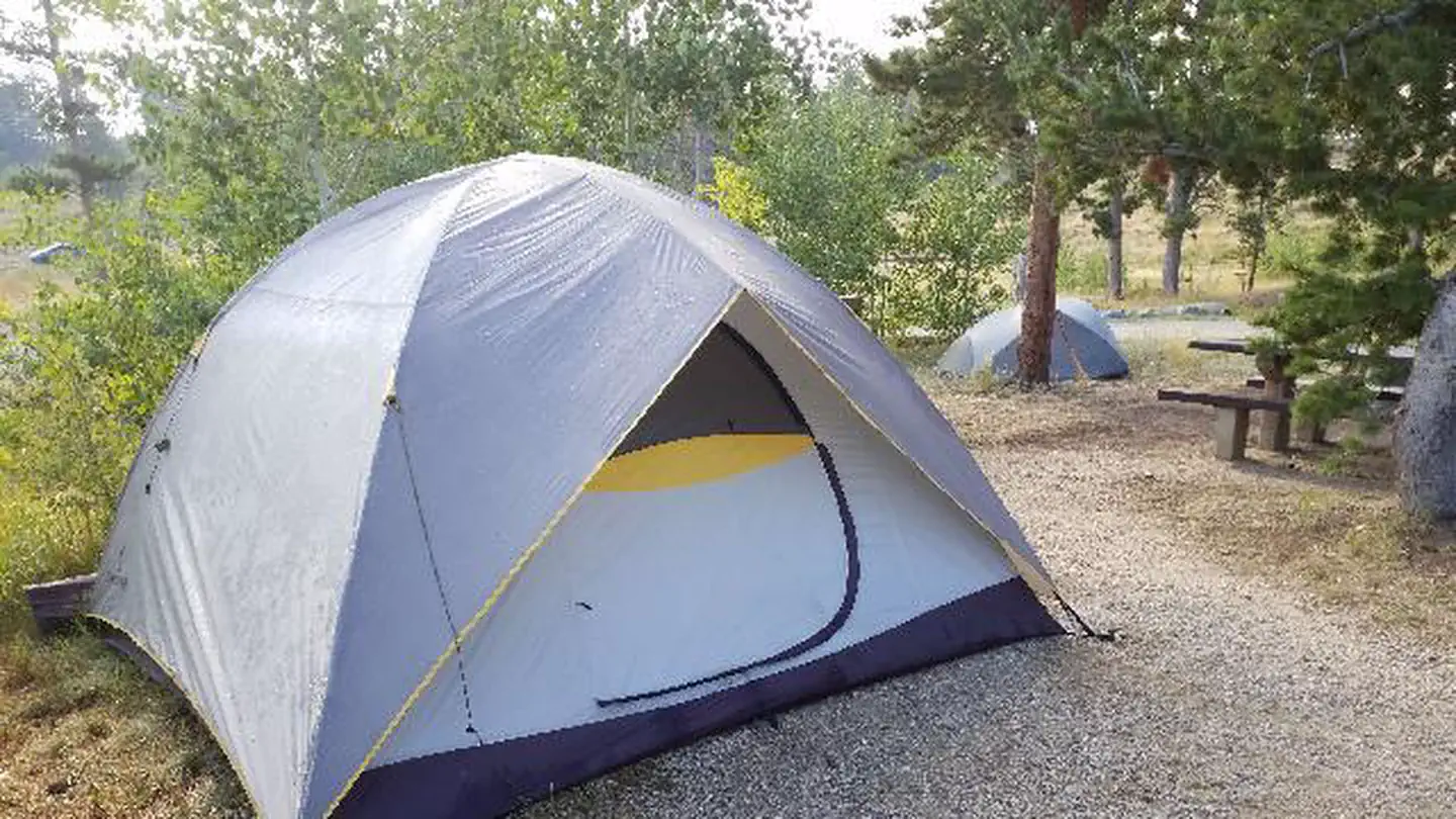
1 of 1 photo
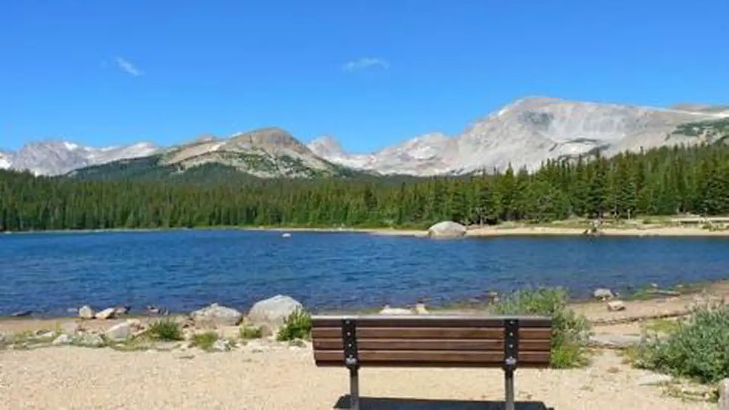
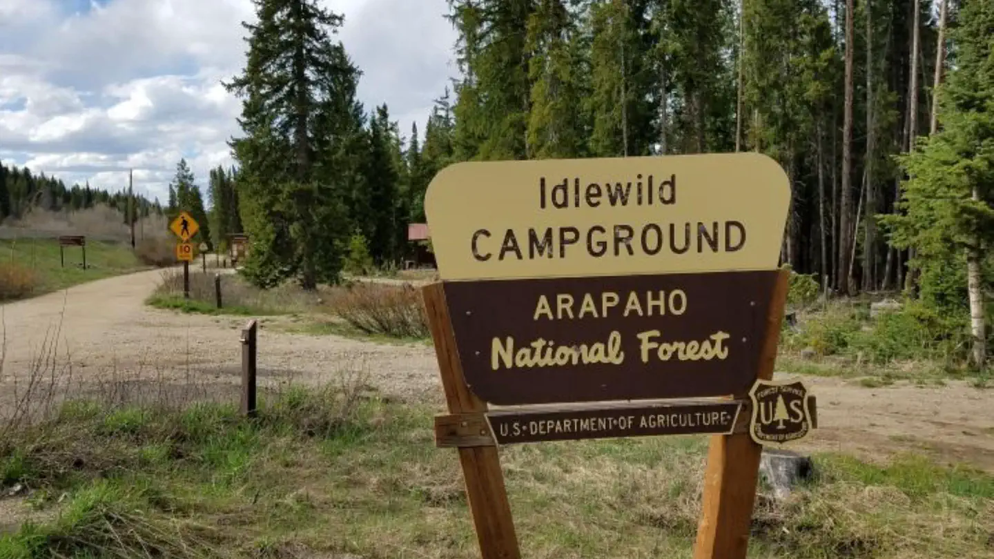
Coney Flats Trailhead
Stay Limit
Indian Peaks Wilderness restrictions apply:
* **Motorized equipment and mechanized transportation are prohibited.**
* **Pets must be on a hand-held leash at all times.**
* **Campfires are prohibited year round.**
* **Campsites must be at least 100 feet away from water and trail.**
* **Group size is limited to 12 (people and stock combined).**
* **Processed weed-free feed is required for stock.**
* **PracticeLeave No Trace principles.**
Fishing and hunting: permitted in accordance with regulations established by
Colorado Parks & Wildlife.
Reviews
Popularity
No popularity data yet
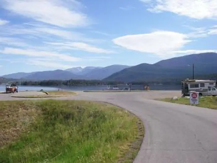
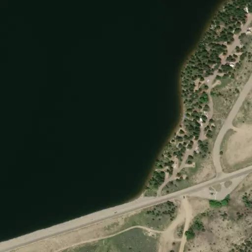
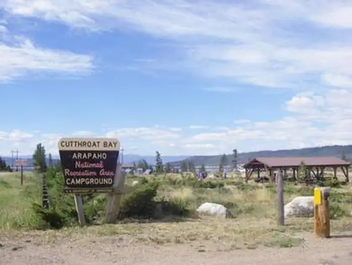
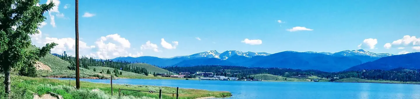
Location