 Camp Observer
West Well
Show on map760-326-7000blm_ca_web_ne@blm.gov
Bureau of Land Management, Needles Field Office, 1303 South U.S. Hwy 95
Needles, CA 92363
Needles, CA 92363
Directions
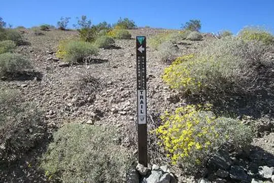
From Needles, CA, take U.S. Highway 95 south approx. 20 miles to Havasu Lake Road. Turn left on Havasu Lake Road and drive approx. 10 miles to BLM Route NS056 - Hightower Road (Powerline Road). Turn right onto NS056 and drive approx. 3 miles to West Well Trail/War Eagle Mine Loop. Turn Right onto West Well Trail and drive approx. one quarter mile. A small parking area will be on your left hand side.
Reviews
No reviews yet