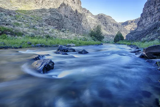
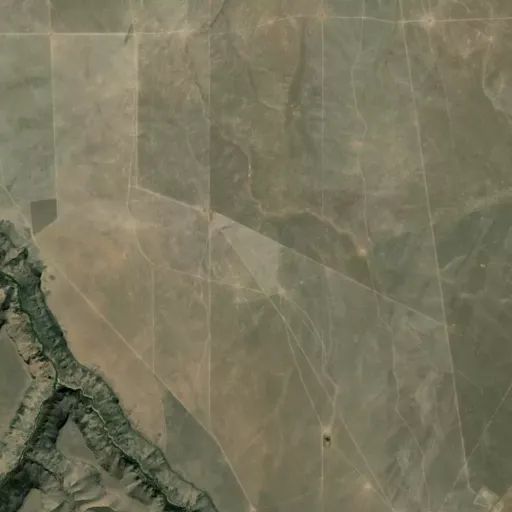
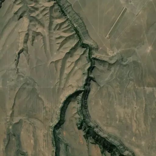
The West Fork Bruneau River joins with the Jarbidge River to form the Bruneau River about 24 miles north of the Nevada border, just upstream of Indian Hot Springs. The canyon opens up at this portion of the river through the designated 0.3 miles and then becomes narrower as the Bruneau River flows north. This is a boatable section of river.
Directions
Use BLM Sheep Creek 1:100,000 scale map. Access from Clover-Three Creek Road from Highway 51.
 Camp Observer