1 of 1 photo
Sundance Trail
Popularity
No popularity data yet
Directions
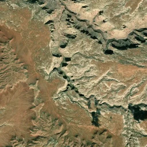
From the turnoff to Natural Bridges National Monument, travel west on U-95 for
approximately 35 miles to the sign marking the Glen Canyon National Recreation
Area boundary. Drive about 1.4 miles further on U-95 and turn right onto the
first dirt road after the White Canyon bridge (just before milepost 53 on
U-95). After you turn, you will see the San Juan County (SJC) road 2731
signpost. Travel five miles on 2731 to a Y-intersection with SJC 2081. Turn
right on 2081. If coming from Lake Powell on U-95, travel about a mile east
from the Hite Marina turnoff. Turn left onto a dirt road directly across from
milepost 49. This road is marked SJC 2081. Travel about four miles to a
Y-intersection with SJC 2731. Stay on 2081. This is where the two routes meet,
so from either direction, after about 3.4 miles from this intersection, there
will be a Y-intersection where you do not turn, but the road becomes SJC 256.
Stay on 256 for about 3.5 miles until you see a wooden BLM sign for the
Sundance Trailhead. Continue to the trailhead parking lot. From the trailhead
parking, walk the two track to the edge of the canyon. From here, the trail
descends to a 50% talus slope and 1,120 vertical feet into Dark Canyon. Once
in the bottom, hikes up and down canyon are popular.
Reviews
Location