1 of 1 photo
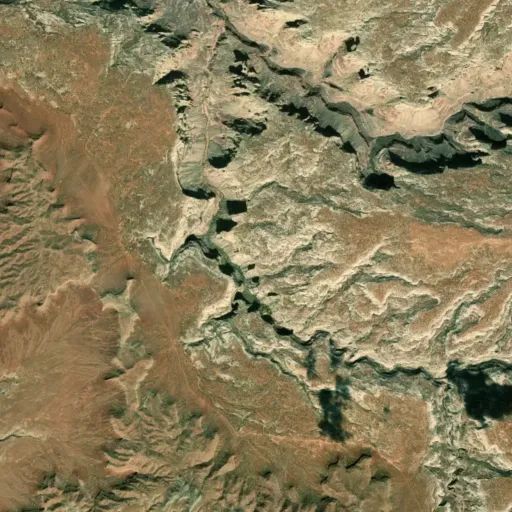
Dark Canyon SRMA
Popularity
No popularity data yet
Directions
From the southwest, the Sundance Trailhead is accessed from a road that leaves
State Highway 95 east of Hite. This is a graded road which may require up to
six inches of clearance depending on road conditions. High clearance is
recommended but the trailhead may be accessible by regular passenger cars in
dry weather.
The Woodenshoe Road accesses the southeastern part of the area. It offers
trailhead access into Dark Canyon on Forest Service land. Farther to the west
on BLM land are spectacular views into the canyon. This is a graded road which
may require up to six inches of clearance depending on road conditions. High
clearance is recommended but the road may be accessible by regular passenger
cars in dry weather.This road is accessed from a road that leaves State
Highway 95 just east of Natural Bridges National Monument.
The North Long Point Road accesses the Dark Canyon Plateau in the middle part
of the area, and offers trailheads into Fable Valley on BLM land and into Dark
Canyon on Forest Service land. This is a graded road which may require up to
six inches of clearance depending on road conditions. High clearance is
recommended but the road may be accessible by regular passenger cars in dry
weather. This road is accessed from the South Cottonwood Road which leaves
State Highway 95 west of Blanding or from the North Cottonwood Road which
leaves the Needles Road west of Newspaper Rock.
The Beef Basin Road offers access to the northern part of the area, including
a trailhead into Fable Valley. The Beef Basin Road should be attempted by high
clearance vehicles only, and four wheel drive is recommended. This road is
accessed from the North Cottonwood Road which leaves the Needles Road west of
Newspaper Rock.
Reviews
Location