Camp Observer
Steese National Conservation Area
Show on map907-474-2200easterninterior@blm.gov
Eastern Interior Field Office, Eagle Summit Wayside, Milepost 107.1 Steese Highway
Fairbanks, AK 99709
Fairbanks, AK 99709
Directions
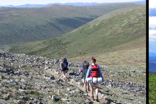
"The Steese Highway leads northeast from Fairbanks and passes between the South and North units of the Steese NCA before ending in Circle at the Yukon River. Only a handful of primitive roads actually enter the edges of the Steese NCA, so most visitors gain access via trails or Birch Creek Wild and Scenic River, which flows through the middle of the South Unit. At Nome Creek, Faith Creek, Montana Creek/Bachelor Creek, and Porcupine Creek, roads will bring you close to the North Unit boundary. Roads following Bottom Dollar Creek and Harrison Creek enter the northern portion of the South Unit. All of these roads are unmaintained, and most are suitable only for high-clearance, four-wheel-drive vehicles or off-highway vehicles.
Fees
No fee for personal recreational use. Commercial guides are required to obtain a Special Recreation Permit from the BLM.
Stay Limit
10 days
Reviews
No reviews yet
Keep your options open
Watch for a matching campsite across monitored campgrounds in Steese National Conservation Area.