
South Fork Canyon Special Recreation Management Area

Show on map775-753-0200elfoweb@blm.gov
Elko District Office, 3900 E. Idaho Street
Elko, NV 89801
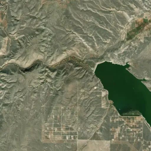
Located northwest of South Fork State Recreation Area, South Fork Canyon offers access to the South Fork River. Float the river in tubes, kayaks or canoes. Along the river you will have the opportunity to see part of the California National Historic Trail (Hastings Cutoff), wildlife, deep limestone canyon walls, and cultural sites. The best time to float the river is during spring runoff. The river is mostly Class I with limited Class II areas (only at peak flows). There are no developed facilities or campgrounds on BLM lands. Roads along the river are primitive and travel is not advised during periods of moisture.

Directions

Drive southeast on State Road 227 towards Spring Creek (7 miles). Turn south on State Road 228. Drive approximately 5 miles until the South Fork turnoff to the west. Head northwest of the dam to access South Fork Canyon.

Stay Limit

14 day limit

Reviews

No reviews yet

Keep your options open

Watch for a matching campsite across monitored campgrounds in South Fork Canyon Special Recreation Management Area.
Nearby Parks