
Rio Bonito Petroglyph National Recreation Trail

Show on map575-627-0272
Roswell Field Office, 2909 W. Second Street
Roswell, NM 88201

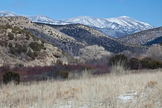
The Rio Bonito Petroglyph National Recreation Trail is an easy-to-moderate excursion on a 2 1/2 mile loop running up the river from the trailhead to the Petroglyph Rock where visitors of another time left images of their Water God. Easy river access to Bonito Creek and its towering cottonwood, walnut, and oak trees. Trout fishing is good in the spring but creek dries up in summer. The trail can be reached from NM 220, west of the Sierra Blanca Regional Airport. Follow the highway signs stating "Upper Rio Bonito" to the bottom of the hill and turn left for approximately one mile until you reach the trailhead (high-clearance vehicles are recommended). The loop trail is approximately 2.1 miles in total length and is easy to moderate hiking with a few hills and areas with loose footing. Plan to spend approximately one hour on the trail.

Directions

From Capitan, NM, drive on US 380 east 4.25 miles to NM 220. From Lincoln, NM, drive west 7.7 miles to NM 220. Drive south one mile to the equestrian trailhead. The historic Fort Stanton is approximately one mile further on NM 220. BLM is investigating the opportunity to provide visitor services information about the NCA at Lincoln, Capitan, Ruidoso, and at the historic Fort Stanton.

Fees

No Fees

Reviews

No reviews yet

Keep your options open

Watch for a matching campsite across monitored campgrounds in Rio Bonito Petroglyph National Recreation Trail.
Nearby Parks