1 of 1 photo

Payette River Corridor

Flowing from the central Idaho mountains, the Payette River and its various forks offers a variety of river related recreational opportunities. The BLM and Forest Service jointly manage the Main Payette and South Fork Payette Rivers to provide public river access primarily for white-water boating. For the beginner, the Main Payette, from Banks to Beehive Bend, offers Class II-III rapids. The "Staircase" section of the South Fork (Confluence or Deer Creek to Banks) will provide a little more challenging Class II-III options, and the "Canyon" stretch (Deadwood to Danskin) will test your Class III-V rapids skills.

Payette River Maps (Boater's Guide)

Directions

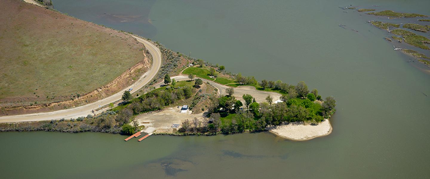
Located about 30 miles north of Boise, Idaho along U.S. Highway 55. Numerous river access points are located along the main Payette River and the South Fork Payette River.

Stay Limit

Day Use only at river access sites, 14 day stay limit in dispersed camping areas.

Reviews

No reviews yet
Location

Nearby Parks