Camp Observer
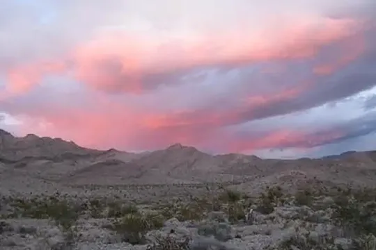
North Mesquite Mountains Wilderness
Show on map760-326-7000blm_ca_web_ne@blm.gov
Bureau of Land Management, Needles Field Office, 1303 South U.S. Hwy 95
Needles, CA 92363
Needles, CA 92363
Directions
From Needles, CA, take I-40 west approx. 10 miles to the U.S. Highway 95 north exit. Exit north and take U.S. Highway 95 approx. 45 miles to NV State Route 164 (Searchlight, NV). Turn left on SR 164 and drive approx. 20 miles to the CA/NV state line. The road turns into Nipton Road. Drive on Nipton Road approx. 15 miles to I-15. Take I-15 west approx. 15 miles to Cima Road. Turn right at the Cime Road exit and take Excelsior Mine/Kingston Road north approx. 12 miles. A wilderness kiosk sign will be on your right hand side.
Reviews
No reviews yet
Keep your options open
Watch for a matching campsite across monitored campgrounds in North Mesquite Mountains Wilderness.