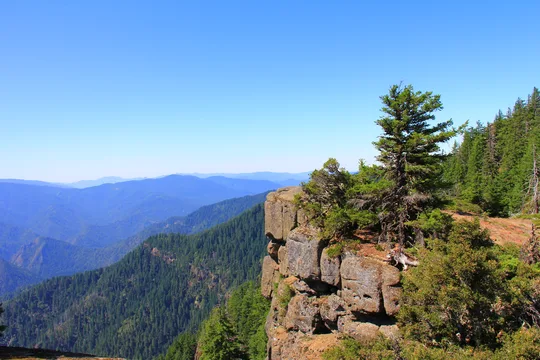
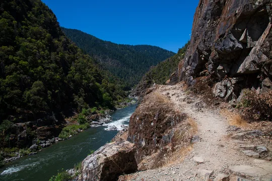
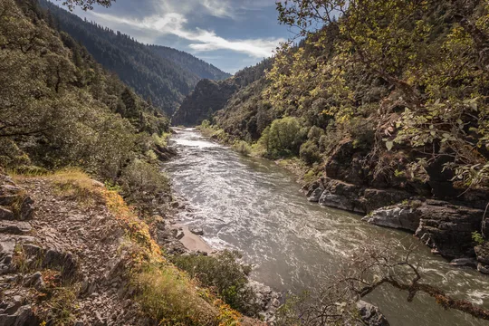
 Camp Observer
Mule Creek Trail
Show on map541-471-6500blm_or_md_mail@blm.gov
Grants Pass Interagency Office, 2164 NE Spalding Avenue
Grants Pass, OR 97526
Grants Pass, OR 97526
Directions
Access to the North end
From the West: From Gold Beach on SR 101, take County Road 595 East to Forest Service Road 33. Continue on FS road 33 to FS road 3310, following it until FS road 3340. On FS road 3340, travel NW until it connects with FS road 33. Take a right at the intersection with FS road 3348 and continue on to the Buck Creek campground where you will turn right on FS road 5520. FS road 5520 will take you to the parking area for the trail.
From the East: From the Glendale exit on I-5 go west and into town where you will head northwest on County road 27, continuing on as it becomes BLM road 33-7-2. At intersection of Cow Creek and West Cow Creek roads go left, following West Cow Creek (BLM road 32-8-1.1). Approximately three and one-half miles take a left onto the Bobby Creek Road (BLM road 32-8-9.2) following it up to Nine Mile Saddle. Go right and continue on Kelsey Mule Road (BLM rd 32-8-3.1) through Anaktuvuk Saddle and west until it becomes Forest Service road 5520. Follow FS road 5520 to the parking area.
Access to the South end
From I-5 take the Merlin Exit. Drive west on the Merlin-Galice Road approximately 23 miles. Continue across The Grave Creek Bridge and onto the Mt. Reuben Road (BLM rd 34-8-2) until it junctions with the Kelsey Mule Road, go left. Approximately 1/4 mile west, at Marial Saddle, go left on Marial Road (BLM rd 32-9-14.2) following signs to Tucker Flat Campground. Trailhead is at rear of campground.
Fees
No Fees.
Stay Limit
14 Days in a single location.
Reviews
No reviews yet