Mt. Hillers

Show on map(435) 701-2360utrfmail@blm.gov
380 South 100 West
Hanksville, UT 84734

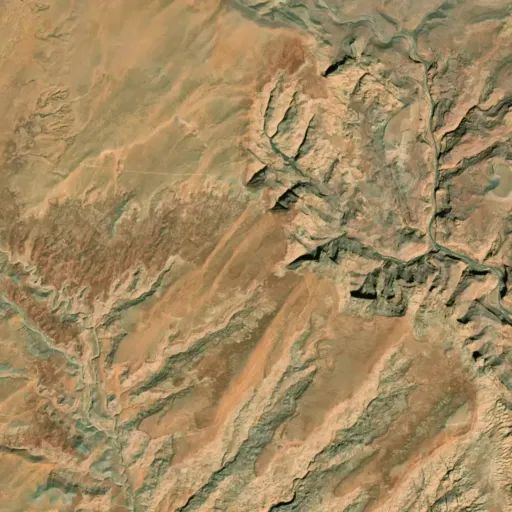
Mt. Hillers is a rugged peak with steep slopes carved by narrow canyons. Mt. Hillers is 5 to 6 miles across, and is cut by several radial narrow, steep, v-shaped valleys separated by elongated, jagged ridges. Hogbacks formed from upturned sedimentary rocks flank the mountain, and are vertical in the Pink Cliffs area. Vegetation is predominantly sagebrush and pinyon-juniper woodlands on the southern slopes. Ponderosa pine, Douglas fir, and bristlecone pine grow on the northern and the higher slopes.

Directions

Is located in northeastern Garfield County, about 30 miles south of Hanksville, UT.

Fees

No fees.

Reviews

No reviews yet

Keep your options open

Watch for a matching campsite across monitored campgrounds in Mt. Hillers.

Nearby Parks