1 of 1 photo
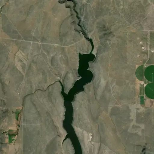
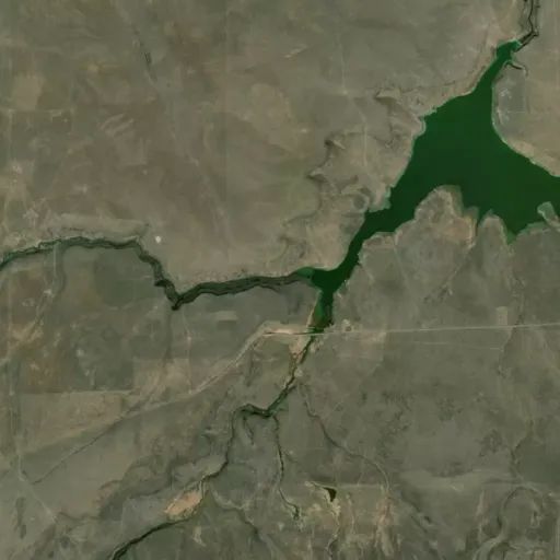
Lower Salmon Falls Creek Wilderness Study Area
Popularity
No popularity data yet
Directions
From Castleford, drive south to Lilly Grade on 900 East, approximately 6
miles. To access the southern end, drive west from Rogerson approximately 7.5
miles on Three Creek Highway.
Reviews
Location