1 of 1 photo
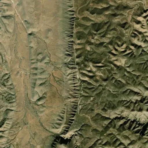
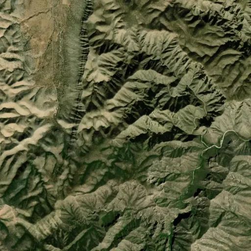
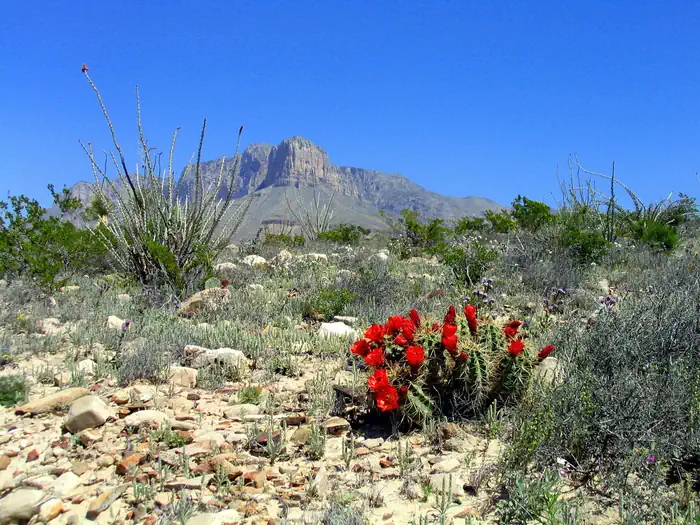
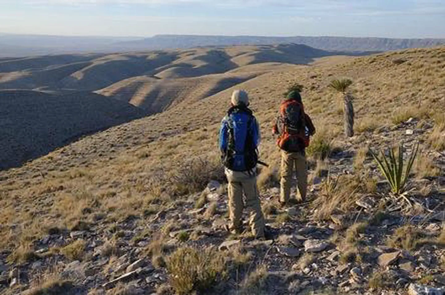
Lonesome Ridge Wilderness Study Area
Popularity
No popularity data yet
Directions
From U.S. Highway 285, take NM 137/Queens Hwy (12 miles northwest of Carlsbad,
23.5 miles south of Artesia) southwest approximately 36 miles to Queen, NM.
Continue about 3 miles past Queen and turn left, heading southeast on Forest
Road 540 (County Road 412/Guadalupe Ridge Road), and drive for about .6 miles
and veer right to continue on Forest Rd 540 for 3.8 miles. Turn left on Forest
Road 69 (Klondike Gap Road), drive for 4.5 miles to the Dark Canyon Lookout.
Turn right (southwest) on Forest Road 201 (4 wheel drive required at this
point). Drive or hike for just over 2.7 miles southeast to Forest Road 3010
and turn left. Drive approximately 1 mile on Road 3010 to where the Lonesome
Ridge Trail begins (this is National Forest land). Hike on the trail for
approximately 2 miles to the northern border of the WSA. The trail becomes the
Golden Stairway Trail on BLM land and continues another 2 miles through the
WSA.
Stay Limit
14 Days
Reviews
Location