1 of 2 photos
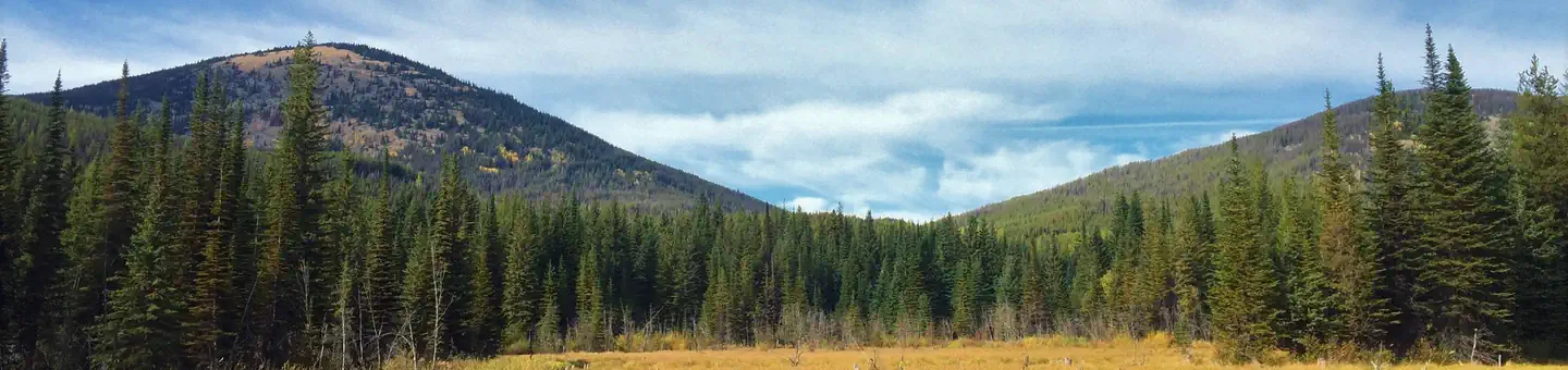
Little Pend Oreille National Wildlife Refuge
Popularity
No popularity data yet
Directions
Little Pend Oreille National Wildlife Refuge is 13 miles southeast of
Colville, Washington in the northeast corner of the state.
From Main Street (Highway 395) in Colville, follow Third Avenue (Highway 20)
for 6 miles – you will be traveling east toward Tiger, WA. Just after passing
White Mud Lake, make a right turn onto Artman-Gibson Road. The sign states the
Refuge is 7 miles away. Travel 1.7 miles until reaching a 4-way intersection.
Turn left onto Kitt-Narcisse Road and follow it for 2.2 miles where the road
forks. Take the right fork onto Bear Creek Road (a dirt road), and follow it
for 3.3 miles. The Refuge headquarters is a brown log building.
Follow Highway 395 north. You can either drive all the way to Colville and
follow the above directions, or exit the highway in Arden (about 6 miles south
of Colville). From Arden, make a right turn off the highway at Hall Road (just
past a lumber mill on the left). At the stop sign, turn left onto the Old
Arden Highway and travel a short distance. At the third right, turn onto
Artman-Gibson Road and follow it for approximately 4 miles until reaching a
4-way intersection. Turn right onto Kitt-Narcisse Road and follow it for 2.2
miles where the road forks. Take the right fork onto Bear Creek Road (a dirt
road), and follow it for 3.3 miles. The Refuge headquarters is a brown log
building.
Follow Highway 20 to Tiger, WA and continue on Highway 20 to where it
intersects with Artman-Gibson Road (about 30 miles). turn left onto Artman-
Gibson Road. The sign states the Refuge is 7 miles away. Travel 1.7 miles
until reaching a 4-way intersection. Turn left onto Kitt-Narcisse Road and
follow it for 2.2 miles where the road forks. Take the right fork onto Bear
Creek Road (a dirt road), and follow it for 3.3 miles. The Refuge headquarters
is a brown log building.
Travel to Metaline Falls, Washington from Route 6 in BC changing to Highway 31
in Washington. Continue to Tiger, WA and turn right on Highway 20. Continue on
Highway 20 to where it intersects with Artman-Gibson Road (about 30 miles).
Turn left onto Artman-Gibson Road. The sign states the Refuge is 7 miles away.
Travel 1.7 miles until reaching a 4-way intersection. Turn left onto Kitt-
Narcisse Road and follow it for 2.2 miles where the road forks. Take the right
fork onto Bear Creek Road (a dirt road), and follow it for 3.3 miles. The
Refuge headquarters is a brown log building.
Or travel to Northport, Washington from Route 22 or 22A in BC to Highway 25 in
Washington. Continue on Highway 25 to Kettle Falls, WA. Turn left onto Highway
395 to Colville, WA. From Main Street (Highway 395) in Colville, turn left on
Third Avenue (Highway 20) for 6 miles – you will be traveling east toward
Tiger, WA. Just after passing White Mud Lake, make a right turn onto Artman-
Gibson Road. The sign states the Refuge is 7 miles away. Travel 1.7 miles
until reaching a 4-way intersection. Turn left onto Kitt-Narcisse Road and
follow it for 2.2 miles where the road forks. Take the right fork onto Bear
Creek Road (a dirt road), and follow it for 3.3 miles. The Refuge headquarters
is a brown log building.
Reviews
Location