 Camp Observer
King Range National Conservation Area
Show on map707-986-5400blm_ca_web_kr@blm.gov
768 Shelter Cove Road / PO Box 189, King Range Project Office
Whitethorn, CA 95589
Whitethorn, CA 95589
Directions
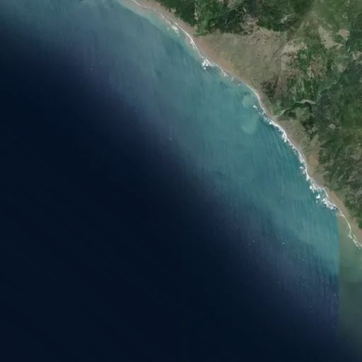
The King Range National Conservation Area (NCA) is located about 230 miles north of San Francisco and 60 miles south of Eureka. All roads leading to the King Range NCA are narrow, steep and winding. Allow plenty of time between destinations, have a full tank of gas, and be alert to oncoming traffic. All main roads are normally accessible to passenger cars except during heavy winter storms. Primitive roads may be closed seasonally. Directional signs mark all major intersections in the King Range NCA giving the road name and distances to primary recreation sites. NORTH ACCESS: U.S. 101 to the Ferndale exit. Once in Ferndale, follow signs to Petrolia. One mile past Petrolia, turn right on Lighthouse Road; it is 5 more miles to the Mattole Recreation Site. Allow 1 1/2 hours for the 42 mile trip. CENTRAL ACCESS: U.S. 101 to South Fork - Honeydew exit. Follow the signs to Honeydew (23 Miles). Turn left in Honeydew to Honeydew Creek Recreation Site and Smith-Etter Road. Allow 1 hour for the 24 mile trip. Turn right to Mattole Beach and Trailhead. Allow 45 minutes for the 18.5 mile trip. SOUTH ACCESS: U.S. 101 to the Redway/Garberville exit. Follow signs to Shelter Cove/King Range NCA. Allow 45 minutes for the 22 mile trip to Shelter Cove.
Reviews
No reviews yet