 Camp Observer
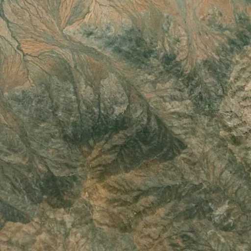
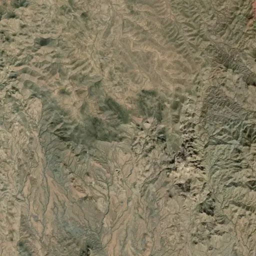
Harquahala Mountain Back Country Byway
Show on map602-867-5400blm_az_pdoweb@blm.gov
Hassayampa Field Office, 21605 North 7th Avenue
Phoenix, AZ 85027
Phoenix, AZ 85027
Directions
The byway is 80 miles west of Phoenix or 40 miles southwest of Wickenburg. From Phoenix, take I-10 west to the Salome Road Exit (50 miles). Turn right and follow for 9.6 miles to Eagle Eye Road. Turn right and go 8.5 miles to the byway which heads north towards the summit.
Or travel north on I-17 to the Carefree Highway exit, turn left on State Route 74, heading west past Lake Pleasant, to U.S. 60. Turn right and head northwest to Wickenburg. From Wickenburg, continue on U.S. 60 (which veers west), to Aguila. Turn right, heading south, on Eagle Eye Road 18.5 miles to the byway heading 10.5 miles north climbing the summit.
Fees
Harquahala Mountain Backcountry Byway are free (no fee required) for general visits by the public.
However, commercial, competitive, and large organized group events require a special recreation permit. Contact the Hassayampa Field Office for more information about special recreation permits.
Recreational activities on any nearby state trust land require a permit from the State of Arizona.
Stay Limit
Most of public lands are open to dispersed camping, as long as it does not conflict with other authorized uses or in areas posted "closed to camping," or in some way adversely affects wildlife species or natural resources. Dispersed camping is generally allowed on public land for a period not to exceed 14 days within a 28 consecutive day period.
Reviews
No reviews yet