1 of 1 photo
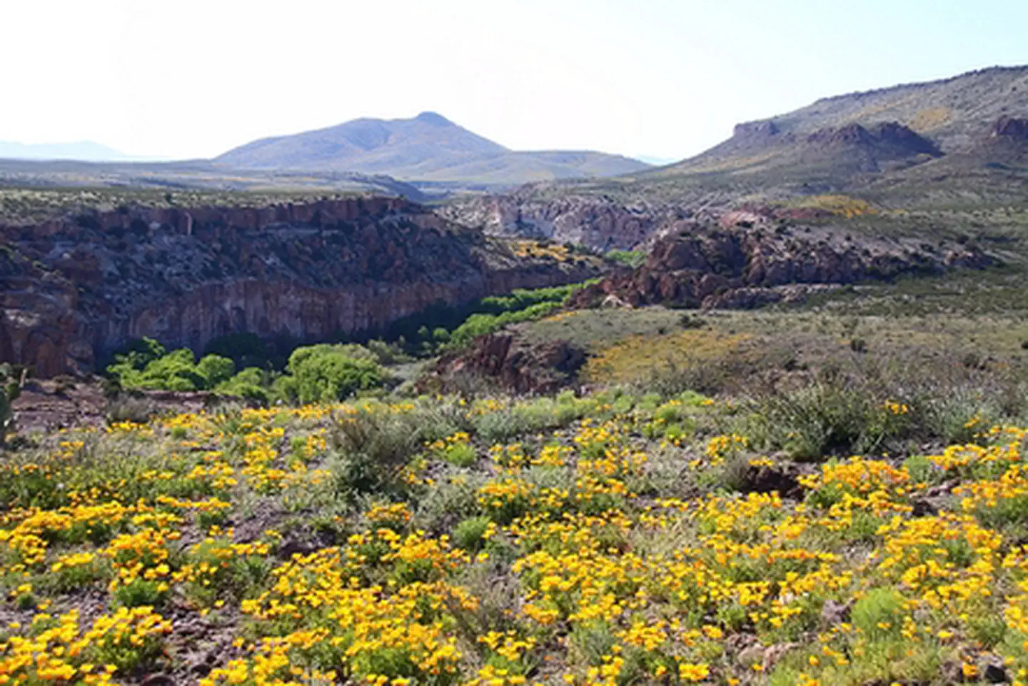
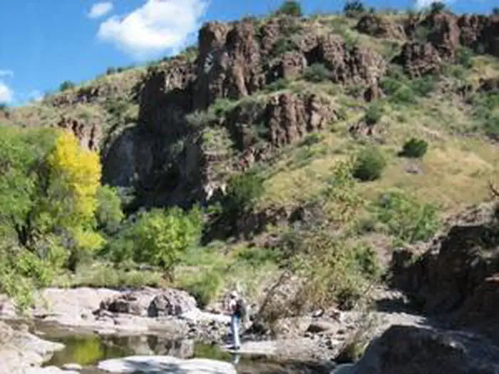
Gila Lower Box Wilderness Study Area
Popularity
No popularity data yet
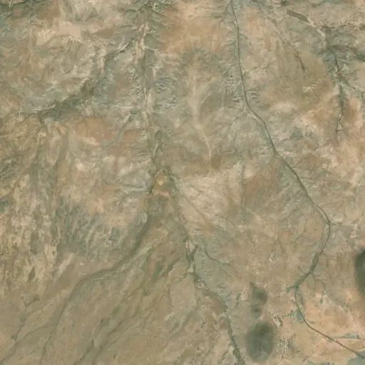
Directions
From US 70, 3.5 miles northwest of Lordsburg, NM, turn north on NM 464. Travel
just over 14 miles on 464 and turn west on a bladed county road/Fuller Road.
From this road, there are three access points turning north at 3.5, 5, and 8
miles from the road. At 3.5 miles on Fuller Road, turn north onto Nichols
Canyon Road and drive about 3.6 miles and veer right to continue on Nichols
Canyon Road another 1ѕ miles. Hike to the southwest; the WSA is past the
gaging station. The other two access points end at trails that can be hiked to
the river.
Stay Limit
14 Days
Reviews
Location