 Camp Observer
1 of 3 photos
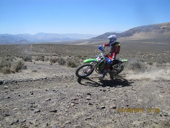
Fort Sage Off-Highway Vehicle Area
Popularity
No popularity data yet
Directions
## From Susanville
Travel 38 miles on U. S. Highway 395 south. Turn East (left) on Laver Crossing
road (0 .8 miles north of Doyle) and travel 1.4 miles to Hackstaff Road. Turn
south (right) and travel approximately 1.2 mile to Fort Sage Road. Turn east
(left) travel 1.1 mile to the entrance of the Fort Sage OHV Area. Turn east
(right) and travel about 1 mile to the Diamondback trailhead, the Fort Sage
trailhead is .05 miles up the road.
## From Reno
Travel 45 miles on U. S. Highway 395 north from the intersection of U. S. HWY
395 and U. S. I-80. Turn North (right) on Doyle Loop Road and travel 1/2 mile
to Hackstaff Road. Turn east (right) and travel 2.1 miles to Fort Sage Road.
Turn East (right) and travel 1 mile to the entrance of the Fort Sage OHV area.
Turn east (right) and travel about 1 mile to the Diamondback trailhead, the
Fort Sage trailhead is .05 miles up the road.
Stay Limit
Overnight camping is allowed for 14-consecutive days within a 28-day period.
Reviews
Location