 Camp Observer
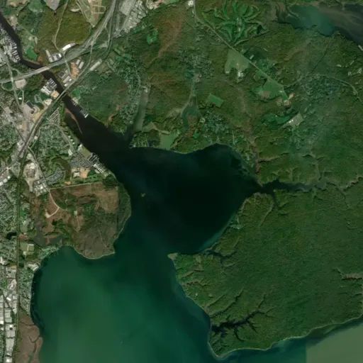
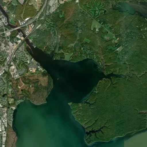
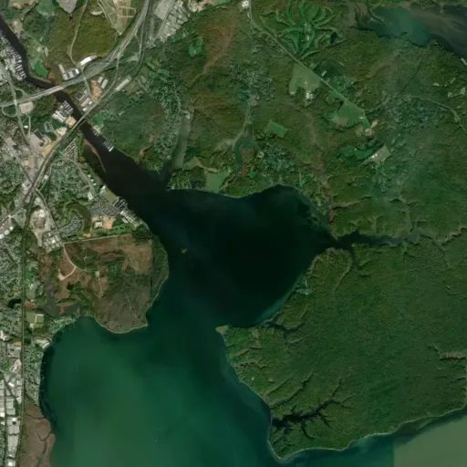
Douglas Point Special Recreation Management Area
Show on map703-339-8009blm_es_douglaspoint@blm.gov
Lower Potomac Field Station, 9699 Riverside Road
Nanjemoy, MD 20662
Nanjemoy, MD 20662
Directions
Douglas Point has two parking lots, North Trailhead and South Trailhead. The two parking lots are about 1 mile apart and are connected by Cal Posey Trail.
From Interstate Highway 95/495 in Maryland: Take Exit 3 for Hwy 210 South to Hwy 225, connecting with Hwy 224. Take 224 for about 14 miles. You should see signs for Nanjemoy and the Purse State Park. The parking lot is on the right side.
From US-301 N: Turn left onto MD-6 (Port Tabacco Rd). Take MD-6 for about 15 miles. Turn right onto Greenleek Hill Rd and in 0.2 miles keep right to continue on Greenleek Hill/ Jacksontown Rd for 2.3 miles. At the end of the road take a right onto Liverpool Point Rd and at the stop sign (400 feet ahead) take a left on MD-224 S. The parking lot will be on the right in 1 mile.
Trailhead Address:
North Trailhead – 9275 Riverside Rd, Nanjemoy, MD
Chiles Homesite Trailhead – 9699 Riverside Rd, Nanjemoy, MD
Fees
No fees
Stay Limit
The hours of operation for Douglas Point are from dawn to dusk daily. Douglas Point is open year-round.
Reviews
No reviews yet
Keep your options open
Watch for a matching campsite across monitored campgrounds in Douglas Point Special Recreation Management Area.