 Camp Observer
Cache Creek Wilderness
Show on map(707) 468-4000blm_ca_web_uk@blm.gov
Bureau of Land Management, Ukiah Field Office, 2550 North State Street
Ukiah, CA 95482
Ukiah, CA 95482
Directions
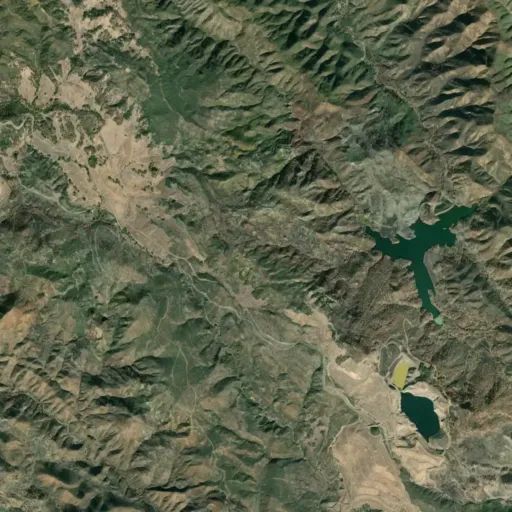
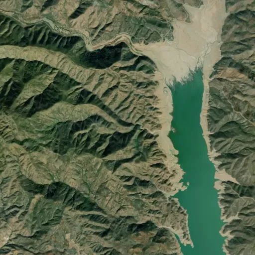
The Cache Creek Wilderness Area is located east of Clear Lake in eastern Lake County.
Trailheads are located at the Redbud Trailhead (5 miles east of the 20/53 intersection on Hwy. 20, or 13 miles west of the 20/16 intersection on Hwy. 20); the Judge Davis Trailhead (14 miles east of the 20/53 intersection on Hwy. 20, or 4 miles west of the 20/16 intersection on Hwy. 20; Cowboy Camp (1 mile south of the 16/20 intersection on Hwy. 16; High Bridge (4 miles south of the 16/20 intersection on Hwy. 16. Just east of the wilderness boundary, vehicle access (4WD recommended) is available to Buck Island (9 miles south of the 16/20 intersection, or 5 miles west of Rumsey on Hwy. 16, then turn south on Yolo County Road 40 crossing Cache Creek and continuing 5 miles to the turnoff to Buck Island/Langs Peak, then follow the road for 5 miles down to Buck Island.
Reviews
No reviews yet