 Camp Observer
Bowdoin Wetland Management District
Directions
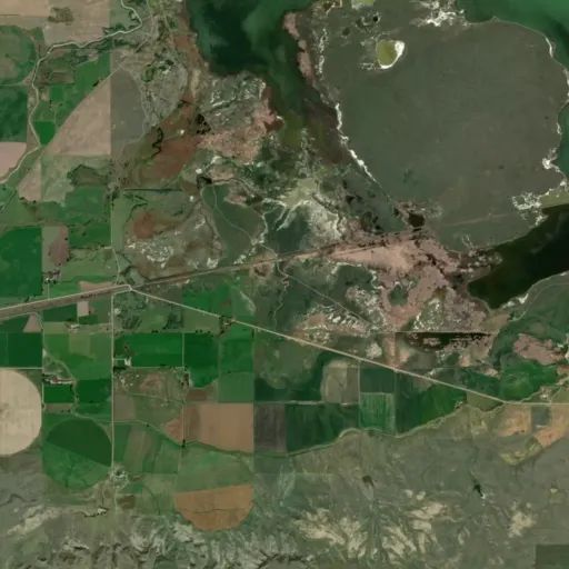
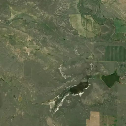
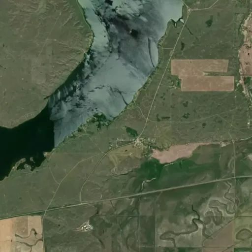
The nine WPAs are spread across Phillips and Blaine Counties, and can be found using BLM maps or from obtaining information from the Bowdoin Refuge headquarters. Pearce, McNeil Slough and Beaver Creek WPAs are located on the public use map for Bowdoin Refuge.
Reviews
No reviews yet
Keep your options open
Watch for a matching campsite across monitored campgrounds in Bowdoin Wetland Management District.