1 of 1 photo
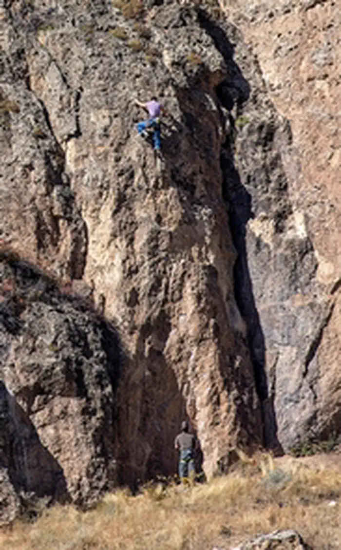
Baldwin Creek Climbing Area
Popularity
No popularity data yet
Directions
The Baldwin Creek Climbing Area is located about 15 miles west of Lander,
Wyoming. To get there from downtown Lander, follow U.S. Highway 287 (Main
Street) west and then north until its intersection with Baldwin Creek Road
just past the Lander Valley High School. Turn left (west) and travel about
seven miles to where the Baldwin Creek Road ends and the Shoshone Lake Road
begins (BLM Road 2202). Travel up the switchbacks, pass through Mormon Basin,
and continue on the Shoshone Lake Road for an additional 6.5 miles. A 4x4 or
other high ground-clearance vehicle is recommended. The parking area and
trailhead are on the left (south) side of the road. The parking area is not
developed but shows evidence of parking use during the summer. Almost
immediately past the parking area, the Shoshone Lake road turns right and
begins to descend a steep and very rocky slope. Travelling down this road
would indicate that you have gone too far.A distinct trail leads from the
parking area to Baldwin Creek Canyon. It begins on the west side of the
parking area and leads south through an old-growth Douglas fir forest to the
rim of the canyon. At the canyon rim the trail drops abruptly through a gap in
the cliffs and then leads to the left (east) to the popular climbing area.
Reviews
Location