Appendicitis Hill Wilderness Study Area

Show on map208-524-7500blm_id_uppersnakeoffice@blm.gov
Upper Snake Field Office
Idaho Falls, ID 83401

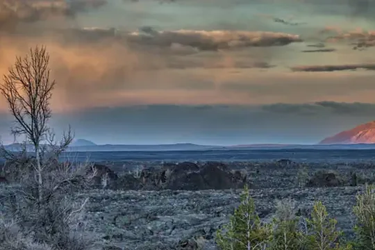
In Idaho, BLM manages nearly 22,000 acres of public lands in Appendicitis Hill Wilderness Study Area. Appendictis Hill lies between Antelope Creek and the Big Lost River drainages. This mountainous area includes Crawford Peak rising over 8,500 feet, almost 2,900 feet above Antelope Valley. Opportunities for hiking, backpacking, hunting, wildlife viewing, photography, climbing and sightseeing are available here, although the area's steep and rugged terrain make them challenging. Scenic views of the surrounding mountain ranges, valley floors and lava plain are excellent from this area's high ridges and peaks.

Directions

Located in Butte County five miles north of Arco, Idaho.

Fees

No fees.

Stay Limit

14 days

Reviews

No reviews yet

Keep your options open

Watch for a matching campsite across monitored campgrounds in Appendicitis Hill Wilderness Study Area.

Nearby Parks