1 of 1 photo
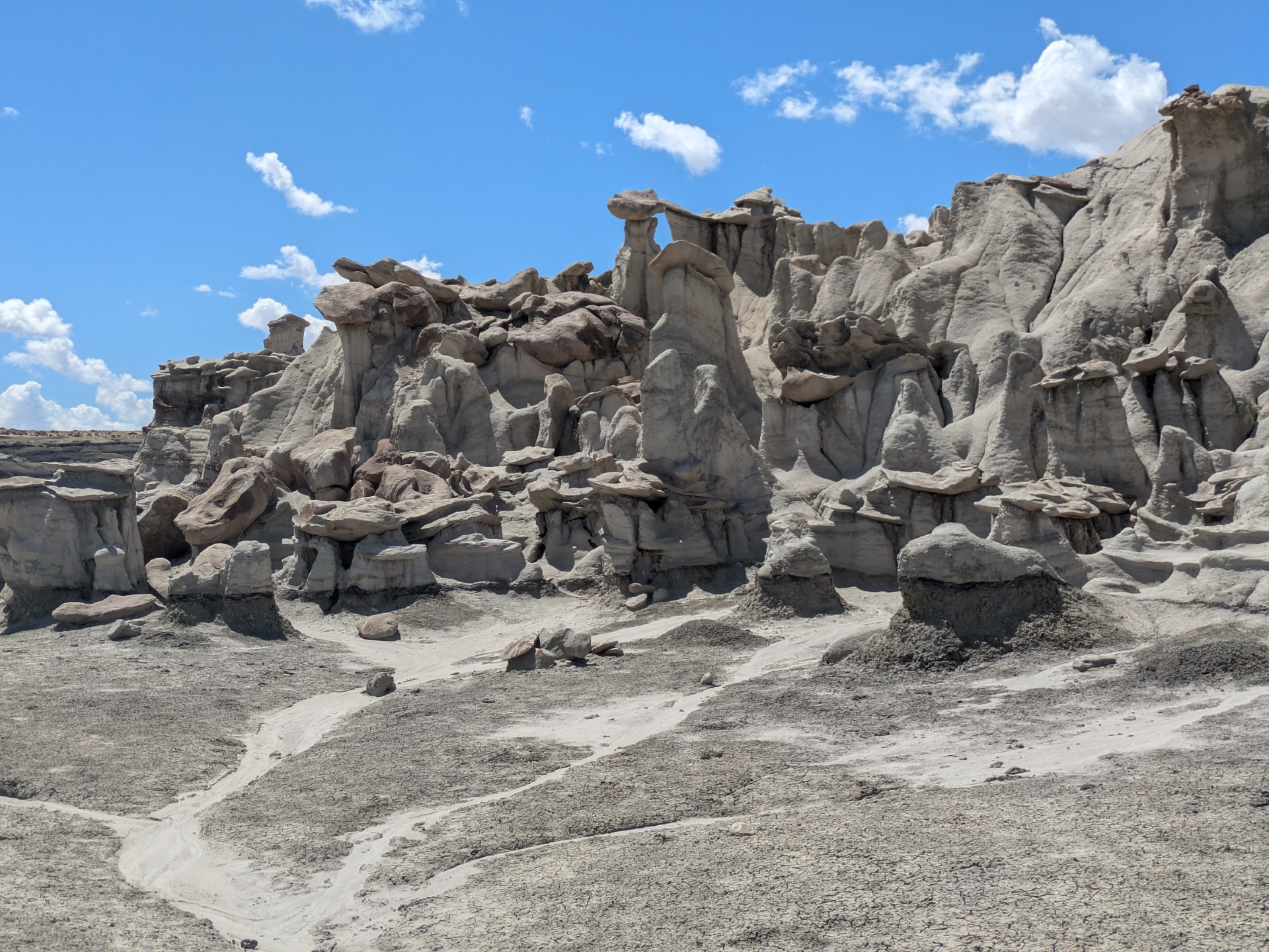
Angel Peak Scenic Area
Popularity
No popularity data yet
Directions
Access to Angel Peak Scenic Area is from US Highway 550, about 15 miles south
of Bloomfield. Turn east onto County Road 7175 and follow it approximately 1
mile to the Angel Peak Overlook parking area. From the overlook, continue
along the gravel road that follows the canyon rim for approximately five
miles. Along this route, you will pass three developed picnic areas before
reaching the campground at the end of the road. Roads may become muddy and
impassable when wet; high-clearance vehicles are recommended.
Stay Limit
14 Days
Reviews
Location