Camp Observer
South Waldo Shelter
Directions
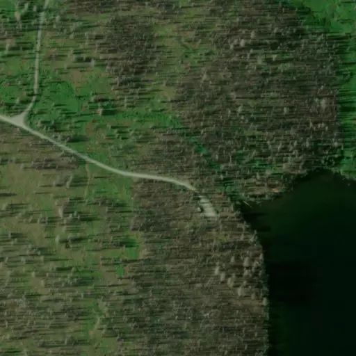
From Oakridge: At the intersection of Crestview Street and Oregon State Highway 58 (the only traffic light on State Highway 58 in Oakridge), travel east on Highway 58 for 23.3 miles. Turn left on the Waldo Lake Road/Forest Road 5897 and travel 6.7 miles to Forest Road 5896. Turn left onto Forest Road 5896, travel 2 miles and the road will end in the day use parking area. he shoreline trail leaving south past the day use area will lead to the South Waldo Shelter.
Reviews
No reviews yet
Availability
Sites here are first come, first served — there's no availability to check or reserve.
Camp Sites
Availability not checked yet

We don't have availability data yet for camp sites at .
Interested in seeing what camp sites you can reserve here? Check it now, or watch this campground so we keep checking it for you.