Deadhorse-Long Park Loop FR#230

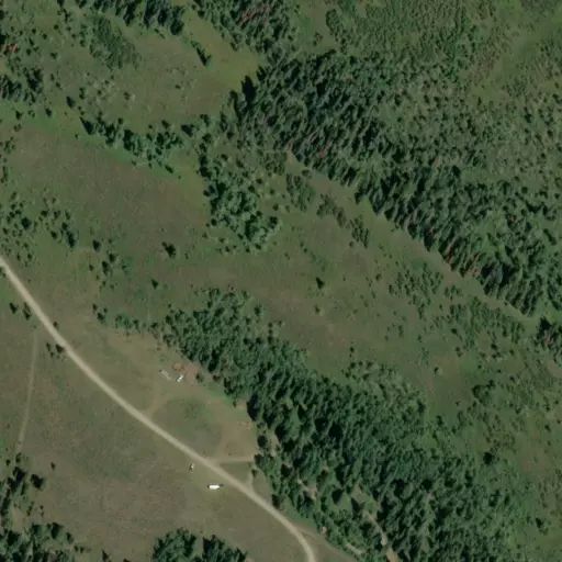
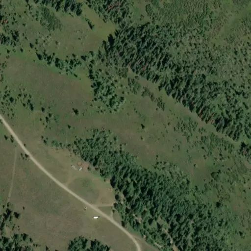
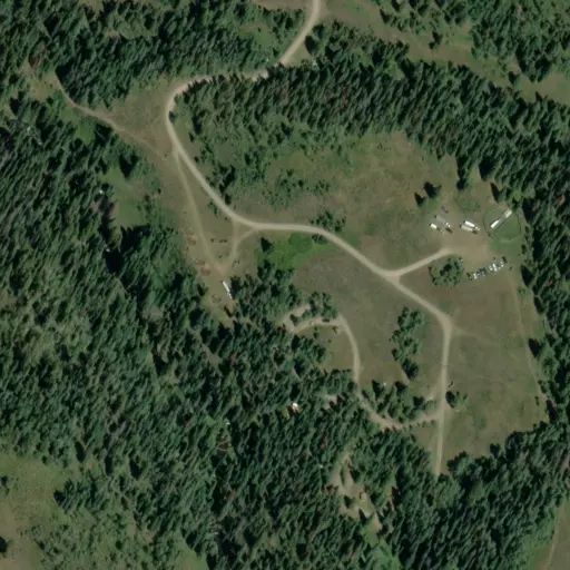
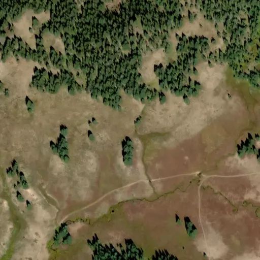
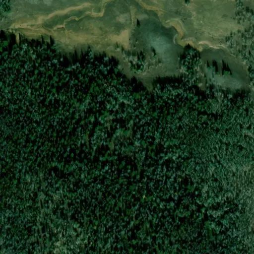
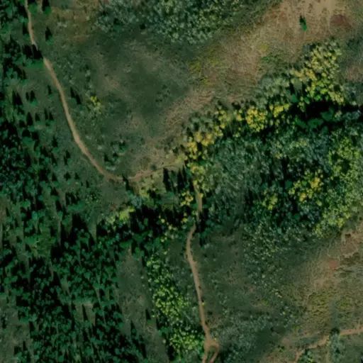
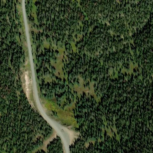
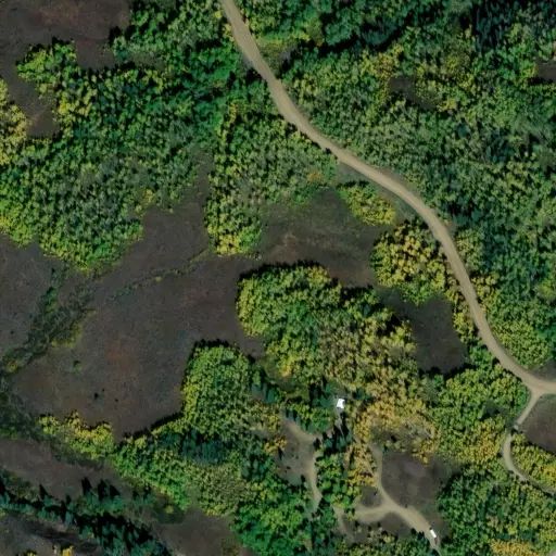
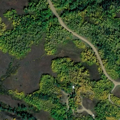
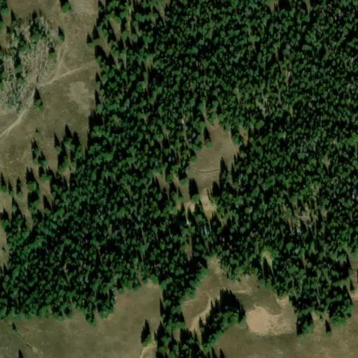
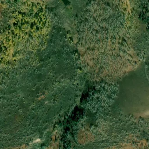
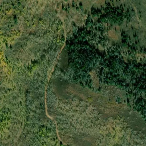
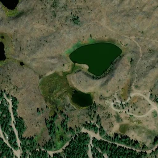
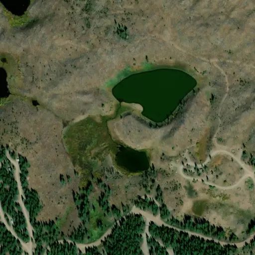
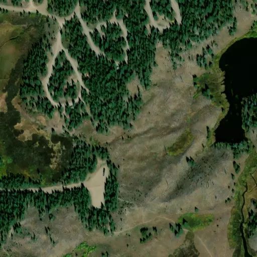
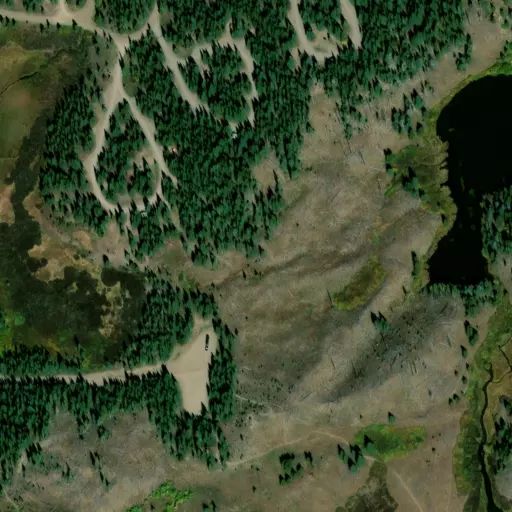
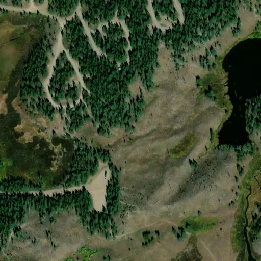
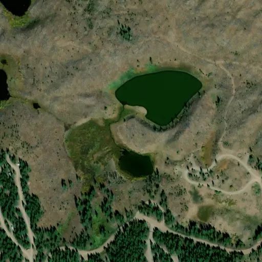
From the west entrance, the road follows a series of switchbacks up a south facing slope.  Near the top, the road offers a nice view of the valley and the North Fork of the White River below.  After approximately 2 miles, the road enters Long Park.  It  then splits with the west fork following Long Park Creek and ending at Trough Gulch.  The north fork proceeds up Long Park Creek to the divide between the Williams Fork and White River drainages.  As you follow the divide to the north, you see the Elk Head Mountains and the south fork of the Williams Fork River below.  To the east and south, you see the White River Valley and the Flat Tops.  The road follows the divide for approximately 3 miles, then drops back into the White River drainage.  As you proceed, you find another junction.  The west fork here ends at Missouri Creek and the east fork brings you to the Deadhorse end of the loop.  The road descends quickly over a steep, rough and narrow road where it returns to Rio Blanco County Road 8.


0

Rules

Much of the road is rough, narrow and steep with tight switchbacks, large water bars and few turnouts.

Stay Limit

Much of the road is rough, narrow and steep with tight switchbacks, large water bars and few turnouts.

Reviews

No reviews yet
Availability

Sites here are first come, first served — there's no availability to check or reserve.

Camp Sites

Availability not checked yet

No availability

We don't have availability data yet for camp sites at .

Interested in seeing what camp sites you can reserve here? Check it now, or watch this campground so we keep checking it for you.
Nearby Campgrounds