The continuation for the Riverside Campground closure due to the 2024 Riverside Fire. The 2024 Riverside Fire caused severe damage to many trees, leaving some unstable, dead, or partially burned. These hazards create a risk of falling limbs or complete tree failure, making the area unsafe until mitigation work is completed. Fire damage also destroyed the campsites, leaving infrastructure compromised, soil unstable, and essential features missing. Reconstruction is required before the area can safely support public use and camping.
PROHIBITIONS
Pursuant to 16 U.S.C. § 551 and 36 C.F.R. § 261.50 (a) and (b), the following are prohibited on the National Forest System (NFS) lands and roads in the Cave Creek Ranger District, Tonto National Forest, described in detail below and shown on the attached map incorporated into this Order as Exhibit A (the “Described Area/Road”):
- Going into or being upon the Described Area. 36 C.F.R. § 261.53(e)
- Entering or using a developed recreation site or portion thereof. 36 C.F.R. § 261.58(b)
- Being on the Described Road. 36 C.F.R. § 261.54(e)
EXEMPTIONS
Pursuant to 36 C.F.R. § 261.50(e), the following persons are exempt from this Order:
- Persons with Forest Service form FS-7700-48, Permit for Use of Roads, Trails, or Areas Restricted by Regulation or Order, specifically exempting them from this Order or a written determination by a Forest Service authorized officer that a permit is not required under 36 C.F.R. § 251.50(e)(1) or (2).
- Any Federal, State, or Local Officer, or member of an organized rescue or firefighting resource in the performance of an official duty.
DESCRIBED AREA/ROAD
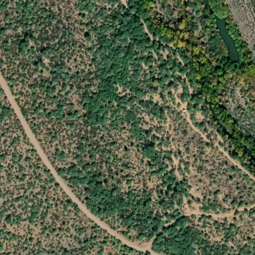
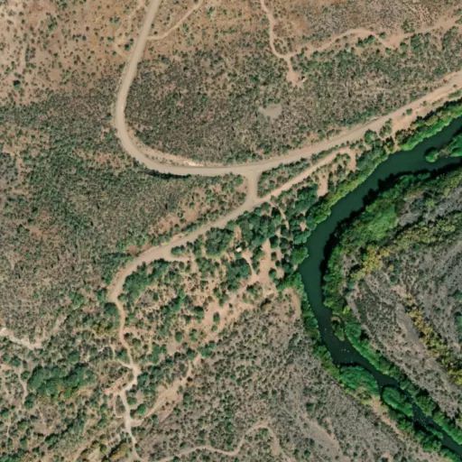
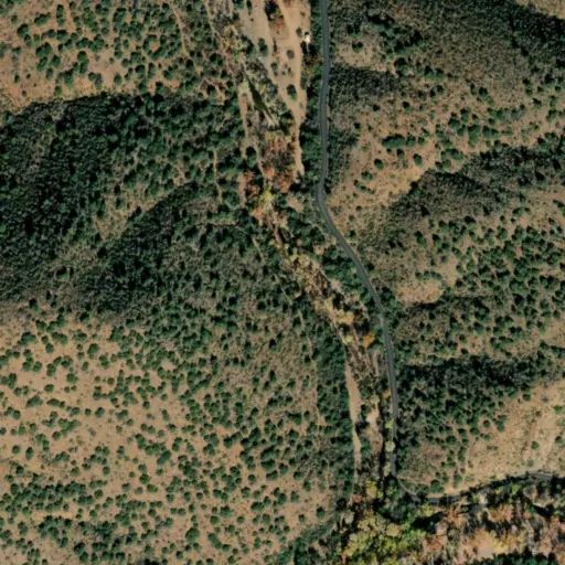
The entire portion of National Forest System (NFS) Road 162, starting from the junction of (NSFR) 19, also referred to as Bartlett Dam Road, on National Forest System Land in Township 6 North, Range 7 East, Section 33, following southwest in a loop until its terminus with itself in Township 5 North, Range 7 East, Section 4. Riverside Campground developed recreation site, as depicted in exhibit A.
PURPOSE
The purpose of this Order is to protect public health and safety and allow for resource recovery due to conditions affected by the Riverside Wildfire.
The 2024 Riverside Fire caused severe damage to many trees, leaving some unstable, dead, or partially burned. These hazards create a risk of falling limbs or complete tree failure, making the area unsafe until mitigation work is completed.
Fire damage also destroyed the campsites, leaving infrastructure compromised, soil unstable, and essential features missing. Reconstruction is required before the area can safely support public use and camping.
IMPLEMENTATION
- This Order shall be in effect from Sept. 25, 2026, at 12 a.m. through March 31, 2027, unless rescinded.
- A map identifying the Described Area/Road is attached and made part of this Order as Exhibit A. For a digital version of this Order and Exhibit A, go to https://www.fs.usda.gov/r03/tonto/alerts.
- Unless otherwise expressly defined in this Order, the terms used in this Order are defined by the regulations of the Secretary of Agriculture, 36 C.F.R. Chapter II, Parts 200-299. If there are terms in this Order that are not expressly defined in the Order or 36 C.F.R. Chapter II, Parts 200-299, their meaning shall be determined by their plain language definitions.
- A violation of the above prohibitions is punishable as a Class B misdemeanor by a fine of not more than $5,000 for individuals and $10,000 for organizations, or by imprisonment for not more than six months, or both. 16 U.S.C. § 551; 18 U.S.C. §§ 3559, 3571, and 3581.
- Contact the Cave Creek Ranger District in Scottsdale, AZ, (480) 595-3300, for more information about this Order.
- This Order supersedes any previous Orders prohibiting the same or similar acts in or on the same Described Area/Road.
 Camp Observer