Camp Observer
Jackson Creek Campground
To provide for public safety and to protect natural resources, the following acts are prohibited within the Truckee and Sierraville Ranger Districts of the Tahoe National Forest:
1. Camping is prohibited in the Restricted Use Areas described in Appendix A and shown on the maps in Appendices B and C (including on roads and trails in those Areas), except in the following approved locations:
a. in campgrounds and designated dispersed campsites provided by the Forest Service,
b. within 300 feet of the Pacific Crest National Scenic Trail, and
c. within 300 feet of the Tahoe Rim Trail.
2. Building, maintaining, attending, or using a fire, campfire, or stove fire is prohibited in the Restricted Use Areas described in Appendix A and shown on the maps in Appendices B and C (including on roads and trails in those Areas), except in the following approved locations:
a. in campgrounds and designated dispersed campsites provided by the Forest Service,
b. within 300 feet of the Pacific Crest National Scenic Trail, and
c. within 300 feet of the Tahoe Rim Trail.
Pursuant to 16 U.S.C. § 551 and 36 C.F.R. § 261.50(a) and (b), and to provide for public safety and to
protect natural resources, the following acts are prohibited within the Truckee and Sierraville Ranger
Districts of the Tahoe National Forest. This Order is effective from July 1, 2025, through June 30, 2028.
1. Camping is prohibited in the Restricted Use Areas described in Appendix A and shown on
the maps in Appendices B and C (including on roads and trails in those Areas), except in the
following approved locations:
a. in campgrounds and designated dispersed campsites provided by the Forest Service,
b. within 300 feet of the Pacific Crest National Scenic Trail, and
c. within 300 feet of the Tahoe Rim Trail.
36 C.F.R. § 261.58(e).
2. Building, maintaining, attending, or using a fire, campfire, or stove fire is prohibited in the
Restricted Use Areas described in Appendix A and shown on the maps in Appendices B and
C (including on roads and trails in those Areas), except in the following approved locations:
a. in campgrounds and designated dispersed campsites provided by the Forest Service,
b. within 300 feet of the Pacific Crest National Scenic Trail, and
c. within 300 feet of the Tahoe Rim Trail.
36 C.F.R. § 261.52(a).
Pursuant to 36 C.F.R. § 261.50(e), the following persons are exempt from this Order:
1. Persons with Forest Service Permit No. FS-7700-48 (Permit for Use of Roads, Trails, or
Areas Restricted by Regulation or Order), specifically exempting them from this Order.
2. Any Federal, State, or local officer or member of an organized rescue or firefighting force in
the performance of an official duty.
These prohibitions are in addition to the general prohibitions in 36 C.F.R. Part 261, Subpart A.
A violation of this prohibition is punishable by a fine of not more than $5,000 for an individual or $10,000
for an organization, or imprisonment for not more than six months, or both. 16 U.S.C. § 551 and 18 U.S.C.
§§ 3559, 3571, and 3581.
Executed in Nevada City, California, this 30th day of June, 2025.
Erick Walker
Acting Forest Supervisor
Tahoe National Forest
Appendix A
| Restricted Area | Ranger District | Appendix | Restricted Area Description |
| Austin Meadow | Sierraville, Yuba River | B-1 | Austin Meadow and within ¼ mile of the perimeter at the conifer tree line. |
| Jackson Meadow | Sierraville | B-1 | National Forest System (NFS) lands from the waterline to the high-water mark of Jackson Meadows Reservoir and within ½ mile of the high-water mark of Jackson Meadows Reservoir, plus the additional NFS lands within the area that begins at the northern-most intersection of the Reservoir’s ½ mile border and Forest Road 956-10, then continues south on Forest Road 956-10 to the intersection of Nevada County Road 956, then continues south on Nevada County Road 956 to the Tahoe National Forest boundary, then continues east and north along the Tahoe National Forest boundary to the intersection with the Reservoir’s ½ mile border. |
| Little Truckee | Sierraville Truckee | NFS lands within the area that starts north of Hwy 80 at the intersection of Hwy 89 and the Tahoe National Forest (the Forest) boundary, then continues west along the Forest boundary to the north fork of Prosser Creek, then east along Prosser Creek to its intersection with Forest Road 89-34-10-6, then west along Forest Road 89-34-10-6 to its intersection with Forest Road 89-34-10, then northeast on Forest Road 89-34-10 to its intersection with Forest Road 89-34, then north on Forest Road 89-34 to its intersection with Forest Road 89-36, then north on Forest Road 89-36 to its intersection with Forest Road 89-36-04, then southwest on Forest Road 89-36-04 to its intersection with Forest Road 89-36, then north on Forest Road 89-36 to its intersection with Forest Road 89-36-10, then west on Forest Road 89-36-10 to the Forest boundary, then west along the Forest boundary to its intersection with Forest Road 11-06-4, then north on Forest Road 11-06-4 to its intersection with Forest Road 11-6, then north on Forest Road 11-6 to its intersection with Forest Road 11, then east on Forest Road 11 to its intersection with Sierra County Road 260, then north on Sierra County Road 260 to its intersection with Henness Pass Road (Sierra County Road 301E), then west on Henness Pass Road to the Forest boundary, then north along the Forest boundary to Forest Road 7, then east on Forest Road 7 to its intersection with Sierra County Road 310, then north on Sierra County Road 310 to its intersection with Sierra County Road 310-2, then north on Sierra County Road 310-2 to its intersection with Sierra County Road 310, then north on Sierra County Road 310 to its intersection with Forest Road 5, then west on Forest Road 5 to its intersection with Forest Road 5-70, then north on Forest Road 5-70 to its intersection with Forest Road 5-70-18, then west on Forest Road 5-70-18 to its terminus, then due north to Forest Road 89-55, then east and north on Forest Road 89-55 to its intersection with Forest Road 89-55-4, then west on Forest Road 89-55-4 to its intersection with Forest Road 5-25, then north on Forest Road 5-25 to its intersection with Forest Road 541-10-10, then north on Forest Road 541-10-10 to its intersection with Forest Road 541-10, then west on Forest Road 541-10 to the Forest boundary, then generally north and then east along the Forest boundary to the intersection of the unnamed stream that runs parallel to Forest Road 650-3-20, then southeast along the unnamed stream to its intersection of Forest Road 89-65-10, then south on Forest Road 89-65-10 to its intersection with Forest Road 89-65, then southeast on Forest Road 89-65 to its intersection with Forest Road 89-65-40, then along Forest Road 89-65-40 to its terminus, then due south to Cottonwood Creek, then east along Cottonwood Creek to its intersection with Sierra County Road 451, then south on Sierra County Road 451 to its intersection with Forest Road 451-15, then northeast on Forest Road 451-15 to its intersection with Forest Road 451-15-10, then along Forest Road 451-15-10 to its terminus, then due south to Forest Road 450-5-15, then east on Forest Road 450-5-15 to its intersection with Forest Road 450-5, then southeast on Forest Road 450-5 to its intersection with Sierra County Road 450, then east on Sierra County Road 450 to its intersection with Forest Road 450-10, then south on Forest Road 450-10 to the Forest boundary, then south and east along the Forest boundary to Forest Road 860-20, then northeast on Forest Road 860-20 to the Forest boundary, then east along the Forest boundary to Sierra County Road 860, then east on Sierra County Road 860 to its intersection with Sierra County Road 270, then south on Sierra County Road 270 to its intersection with Nevada County Road 894, then south on Nevada County Road 894 to its intersection with Forest Road 894-8, then east on Forest Road 894-8 to its intersection with Forest Trail 17E03, then south on Forest Trail 17E03 to its intersection with Forest Road 72-2, then east on Forest Road 72-2 to its intersection with Forest Road 72-2-2, then east to Forest Road 72, then south on Forest Road 72 to its intersection with Forest Road 72-4, then south on Forest Road 72-4 to its intersection with Forest Road 72-1, then east on Forest Road 72-1 to its intersection with Forest Road 72-1-15, then due south to Forest Road 72-1-6-2, then east on Forest Road 72-1-6-2 to its intersection with Forest Road 72-1-40, then west on Forest Road 72-1-40 to its terminus, then due south from the terminus of Forest Road 72-1-40 to the Forest Boundary, then west along the Forest Boundary to the starting point. NFS lands within the following boundary are excluded from the Little Truckee Restricted Use Area described above: the boundary that begins at the intersection of Nevada County Road 886 and Forest Road 886-4-2, then continues northwest to the intersection with Forest Road 886-4, then north on Forest Road 886-4 to its terminus, then due north from the terminus to Forest Road 89-40-30, then northeast on Forest Road 89-40-30 to its terminus, then due east from the terminus of Forest Road 89-40-30 to Forest Road 886-18, then east on Forest Road 886-18 to its intersection with Forest Road 261-10, then east on Forest Road 261-10 to its intersection with Sierra County Road 261, then south on Sierra County Road 261 to its intersection with Nevada County Road 889, then south on Nevada County Road 889 to the Forest boundary, then east and south along the Forest boundary to Forest Road 889-3, then east on Forest Road 889-3 to its intersection with Forest Road 886E-12, then south on Forest Road 886E-12 to its intersection with Forest Trail 17E27, then south on Forest Trail 17E27 to its intersection with Forest Road 890-14, then south on Forest Road 890-14 to its intersection with Nevada County Road 890, then west on Nevada County Road 890 to its intersection with Nevada County Road 886E, then west on Nevada County Road 886E to its intersection with Nevada County Road 886, then southwest on Nevada County Road 886 to the starting point. | |
| Van Norden | Truckee | C-2 | NFS lands within the area that starts at the intersection of the Union Pacific Railroad tracks and Nevada County Road 699, then continues south along Nevada County Road 699 to Placer County Road 6001, then south along Placer County Road 6001 to the Tahoe National Forest (Forest) boundary, then east and south along the Forest boundary to the Crows Nest ridgeline, then east along the Crows Nest ridgeline to the Forest boundary, then due north along the Forest boundary to the Union Pacific Railroad tracks, then west along the Union Pacific Railroad tracks to the starting point. |
| Donner Summit PCT Trailhead | Truckee | C-2 | NFS lands within the Donner Summit PCT Trailhead and Forest Road 80-051. |
| Truckee South | Truckee | C-3 | All NFS lands within the portion of the Tahoe National Forest that is in the State of California that are south of Hwy 80 and east of Hwy 89. |
| Hwy 89 South | Truckee | C-4 | NFS lands within the boundary that starts at the intersection of Hwy 80 and Hwy 89, then continues along Hwy 89 south to its intersection with the Tahoe National Forest (Forest) boundary north of Squaw Valley, then west along the Forest boundary to the southeast ridgeline of Silver Peak, then follows the ridgeline to Silver Peak, then continues from Silver Peak due east to Forest Road 5708-2, then north on Forest Road 5708-2 to its intersection with Forest Road 5708, then north on Forest Road 5708 to its intersection with Forest Road 5708-4, then north on Forest Road 5708-4 to its intersection with Forest Road 5708-4-1, then north on Forest Road 5708-4-1 to the Forest boundary, then north along the Forest boundary to Forest Road 89-15, then west along Forest Road 89-15 to the edge of Deep Creek, then east along Deep Creek to the eastern Forest boundary, then north along the Forest boundary to its intersection with Forest Road 1-8-2, then north on Forest Road 1-8-2 to its intersection with Forest Road 1-8-1, then north on Forest Road 1-8-1 to its intersection with Forest Road 1, then north on Forest Road 1 to Jackass Creek, then west along Jackass Creek to the Forest boundary, then north and east along the Forest boundary to the starting point. |
| Alpine Meadows | Truckee | C-4 | NFS lands north of the Tahoe National Forest boundary, east of the Granite Chief Wilderness, south of the Western States Trail, and west of Hwy 89. |

East Side Camping and Campfire Restrictions B1

East Side Camping and Campfire Restrictions B2

East Side Camping and Campfire Restrictions C1

East Side Camping and Campfire Restrictions C2

East Side Camping and Campfire Restrictions C3

East Side Camping and Campfire Restrictions C4
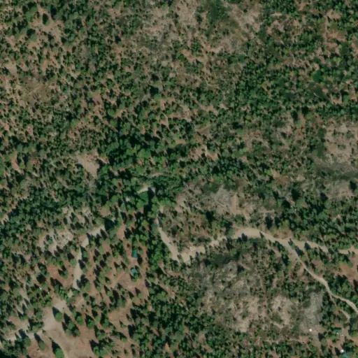
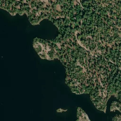
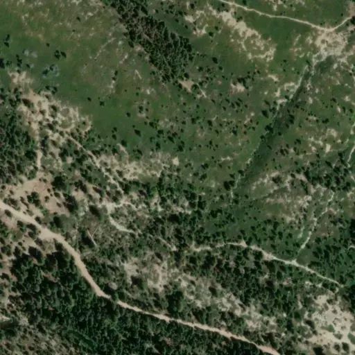
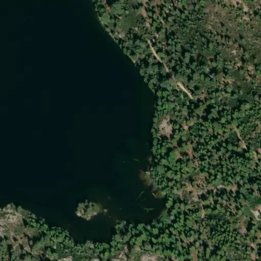
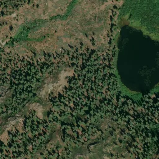
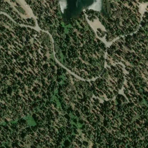
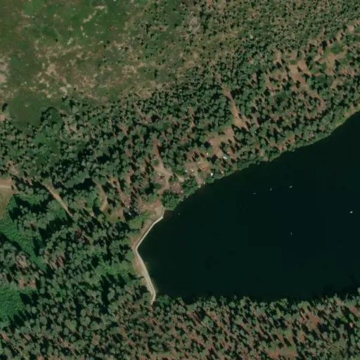
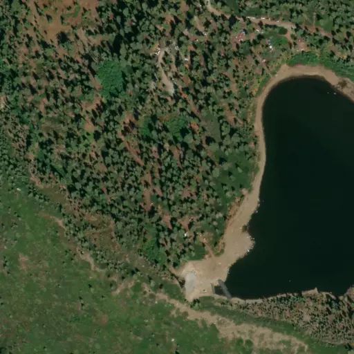
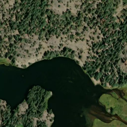
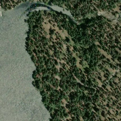
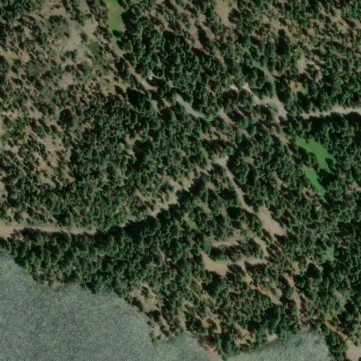
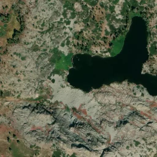
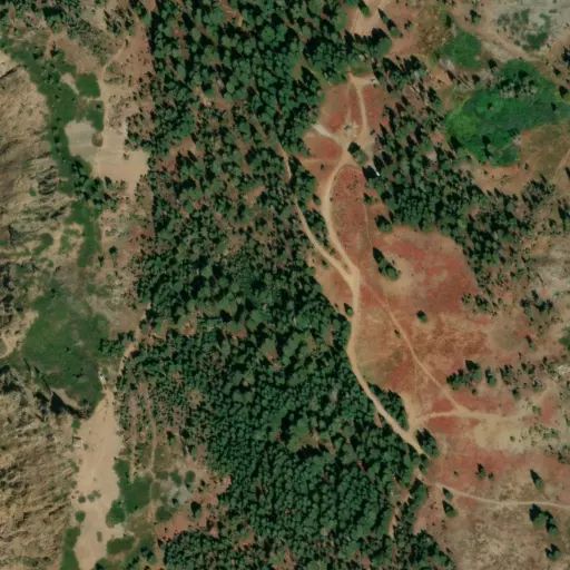
Jackson Creek Campground has 14 campsites with tables, bear proof food lockers, vault toilets and parking. There is no trash service. Jackson Creek Campground is located on the edge of Jackson Creek in a mixed conifer forest. Very remote campground with limited services. Road is very rough, rocky, and narrow.
Camp site features
Services within 25 miles · OpenStreetMap
Nearest dump station: 8.1 mi · Loganville Campground
Nearest water fill: 22.8 mi
Directions
Reviews
Sites here are first come, first served — there's no availability to check or reserve.
Camp Sites
Availability not checked yet

We don't have availability data yet for camp sites at .
Interested in seeing what camp sites you can reserve here? Check it now, or watch this campground so we keep checking it for you.