Camp Observer
Oak Flat
Campground closure
Camp site features
Services within 25 miles · OpenStreetMap
Nearest dump station: 16.0 mi
Directions
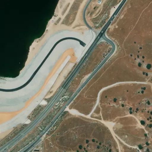
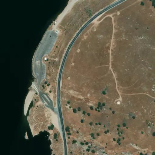
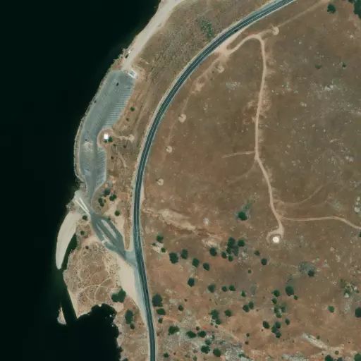
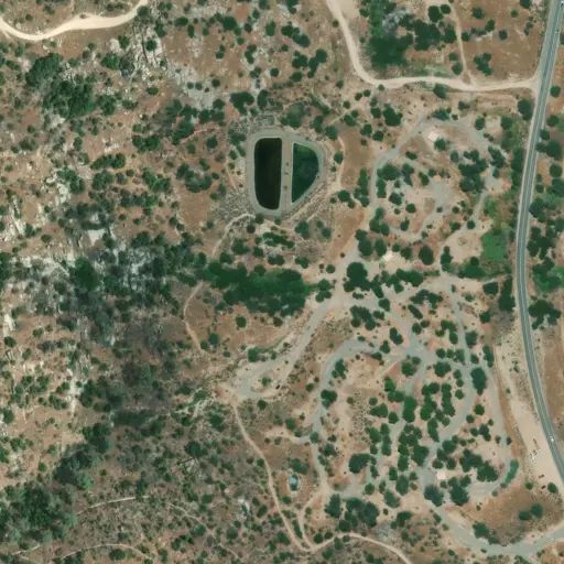
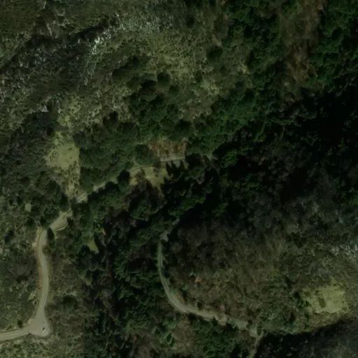
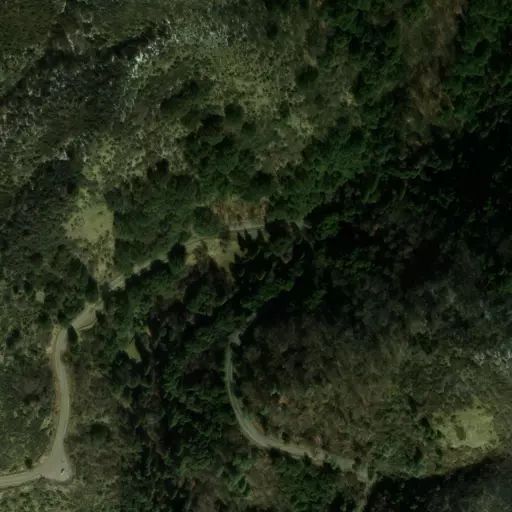
From the south take Highway 99 to Bakersfield, exit on Highway 178 and travel east towards the Kern River Canyon. after passing through the last traffic light (Miramonte Drive) east of town you will travel downhill. Rancheria Road will be the next left turn off the highway. Proceed 15 miles north along this road. The first part of Rancheria Road is paved and then it becomes an unimproved gravel road. It will take you approximately 45 minutes to reach the turnoff to Oak Flat. Watch for livestock and other traffic along this route. Turn right onto the Oak Flat spur road and travel up .7 miles to the Lookout tower.
Reviews
No reviews yet