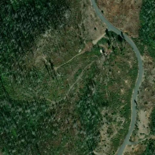
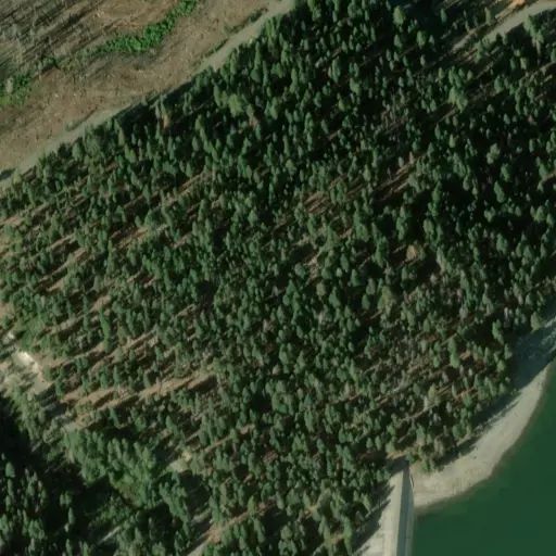
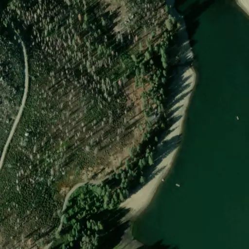
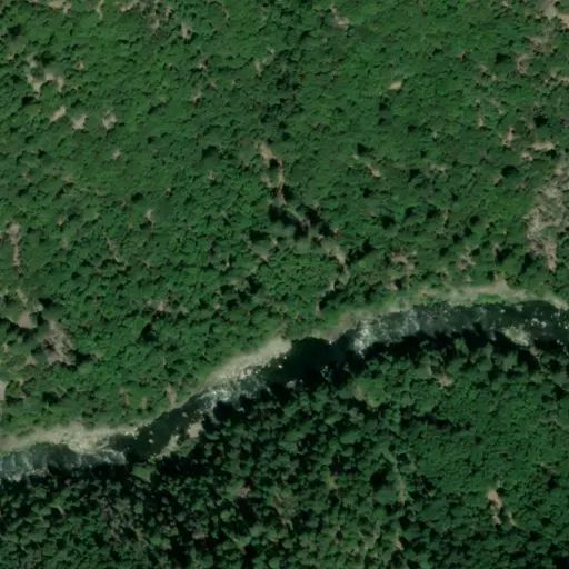
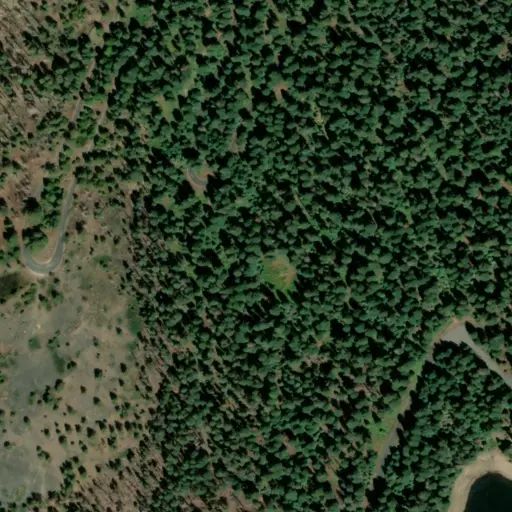
An area around Rogers Cow Camp is under a Forest Closure Order starting Thursday, September 17 due to public health and safety issues associated with an ongoing investigation.
The closed area is along the western edge of Oroville Quincy Highway between Four Trees and Forest Road 23N00 below Rogers Cow Camp, then follows the northern and eastern edges of Forest Road 23N00 to the intersection with Forest Road 23N28. It then follows the southern edge of Forest Road 23N28 east to the intersection with Oroville Quincy Highway at Four Trees.
Oroville Quincy Highway and Forest Roads 23N00 and 23N28 remain open.
The closure includes Rogers Cow Camp. The campground was severely damaged in the 2020 North Complex and since then has been closed with no services available. There are tentative plans to repair the site and reopen it in the future.
Despite the campground being closed, it has continued to be a popular site for hunters camping in the area. This closure means that hunters will be unable to use the site or hunt in the closed area for at least the next few weeks.
The closure goes through December 31, 2026, but may be lifted sooner, conditions permitting. There will be public notification when the area reopens to the public.
Forest Order No. 05-11-03-26-02
USDA Forest Service
PLUMAS NATIONAL FOREST
Feather River Ranger District
Rogers Cow Camp Area Closure Order
Pursuant to 16 U.S.C. § 551 and 36 C.F.R. § 261.50(a), and to provide for public safety, the following acts are prohibited within the Feather River Ranger District of the Plumas National Forest. This Order is effective from September 17, 2026, through December 31, 2026.
- Going onto or being within an area closed for public health and safety, as shown on Exhibit A (map) and as described. 36 C.F.R. § 261.53(e).
Affected Area/Closure Area:
- All National Forest System lands within the area starting at the point of beginning at the intersection of Oroville Quincy Highway and Forest Road 23N00, following the northern edge of Forest Road 23N00 southwest to where the road turns north, following the eastern edge of Forest Road 23N00 to the intersection with Forest Road 23N28, then proceeding along the southern edge of Forest Road 23N28 east to the intersection with Oroville Quincy Highway, then traveling down the western edge of Oroville Quincy Highway to the point of beginning at the intersection with Forest Road 23N00.
Pursuant to 36 C.F.R. § 261.50(e), the following persons are exempt from this Order:
- Any Federal, State, or local officer, or member of an organized rescue or firefighting force in the performance of an official duty.
- Persons with Forest Service Permit No. FS-7700-48 (Permit for Use of Roads, Trails, or Areas Restricted by Regulation or Order), specifically exempting them from this Order.
This prohibition is in addition to the general prohibitions contained in 36 C.F.R. Part 261, Subpart A.
A violation of this prohibition is punishable by a fine of not more than $5,000 for an individual or
$10,000 for an organization, or imprisonment for not more than 6 months, or both. 16 U.S.C. § 551 and 18 U.S.C. §§ 3559, 3571, and 3581.
Done at Quincy, California, this 16th day of September 2026.
Wade McMaster
Acting Forest Supervisor
Plumas National Forest
 Camp Observer