Camp Observer
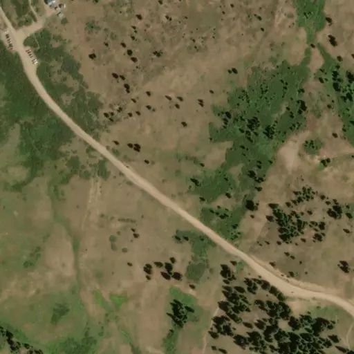
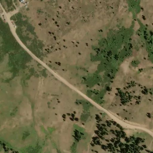
Burning Bear East Trailhead
Rules
The following restrictions apply to this trail:
Only foot, bicycle, and horse traffic.
Dogs must be leashed at all times
Pack in; pack out.
Practice Leave No Trace principles
Stay on designated trail. Do not cut switchbacks.
Directions
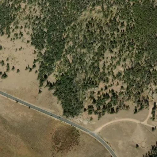
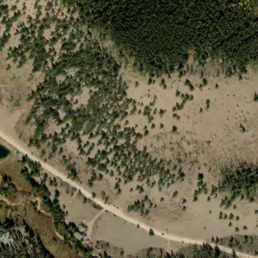
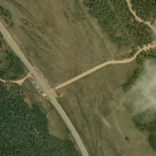
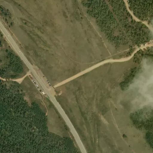
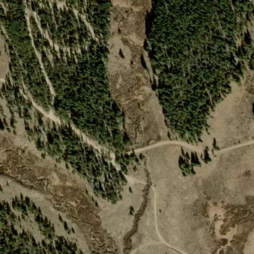
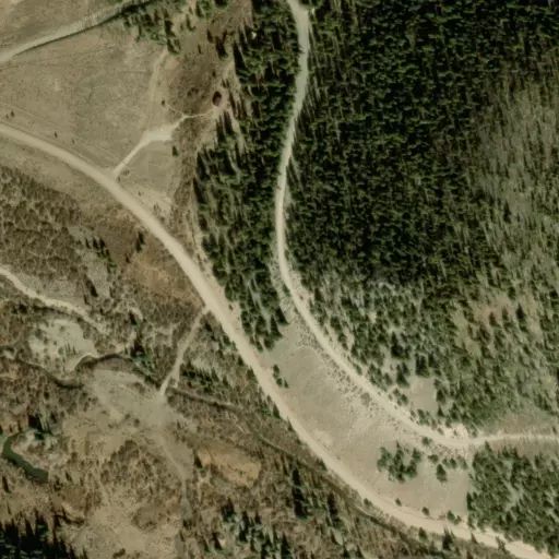
This trail has two trailheads. The east end of the trail is in Geneva Creek Valley, and is located as follows: From Bailey, Colorado, drive west on U.S. Highway 285 for 10.8 miles to Grant. Turn right (north) on Park County Road 62 (sometimes called the Guanella Pass Road) and drive 4.9 miles to the trailhead at a turn in the road. There is a sign and gate on the left (north) side of the road at the trailhead. Parking is available 0.2 mile further at the parking area for the Abyss Lake trail. The west end of the trail is in Hall Valley and is located as follows: From Bailey, drive west on U.S. Highway 285 for 14.9 miles. Turn right (north) on Park County Road 60 (also designated as Forest Service Road 120) and drive 3 miles to a parking area on the right side of the road. The upper parts of Park County Road 60 are not recommended for low-clearance vehicles, but the portion up to this trailhead is accessible to all vehicles.
Stay Limit
The following restrictions apply to this trail:
Only foot, bicycle, and horse traffic.
Dogs must be leashed at all times
Pack in; pack out.
Practice Leave No Trace principles
Stay on designated trail. Do not cut switchbacks.
Reviews
No reviews yet
Availability
Sites here are first come, first served — there's no availability to check or reserve.
Camp Sites
Availability not checked yet

We don't have availability data yet for camp sites at .
Interested in seeing what camp sites you can reserve here? Check it now, or watch this campground so we keep checking it for you.