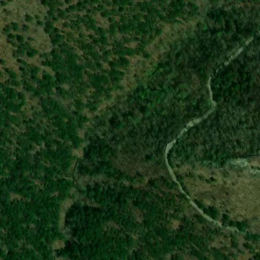
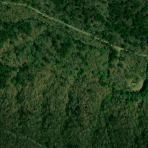
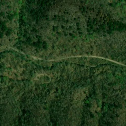
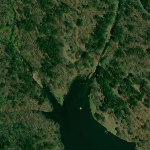
 Camp Observer
Wolf Pen Gap
Campground closure
Fees
No fee.
Rules
OHV use within the Wolf Pen Gap Trail complex is limited to designated roads and trails. Camping is limited to designated camp sites. Trailheads are not available for camping. Helmet use is recommended. OHVs are not allowed in recreation areas.
Directions
West Trailhead: From Mena, take State Highway 8 east for 1 mile to Arkansas 375, then south 8 miles to the trailhead near County Road 277. South Trailhead: Farther south on Arkansas 375 on the left. East Trailhead: From Mena take Hwy. 8 east about 20 miles (about 1 mile east of Big Fork), turn right on Polk County Rd. 83 (Forest Road 38), travel 5 miles to the East Trailhead. North Trailhead: From Mena, take Hwy. 8 east of 10 miles to Polk County Rd. 61, travel 3.5 miles, turn right at the sign, go 1/2 mile to the North Trailhead.
Stay Limit
OHV use within the Wolf Pen Gap Trail complex is limited to designated roads and trails. Camping is limited to designated camp sites. Trailheads are not available for camping. Helmet use is recommended. OHVs are not allowed in recreation areas.
Reviews
No reviews yet
Availability
Sites here are first come, first served — there's no availability to check or reserve.
Camp Sites

This campground is closed.
Site Closed