1 of 1 photo
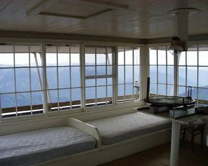
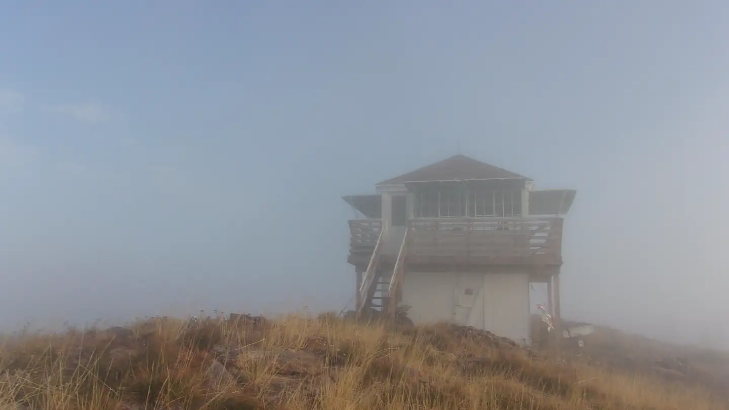
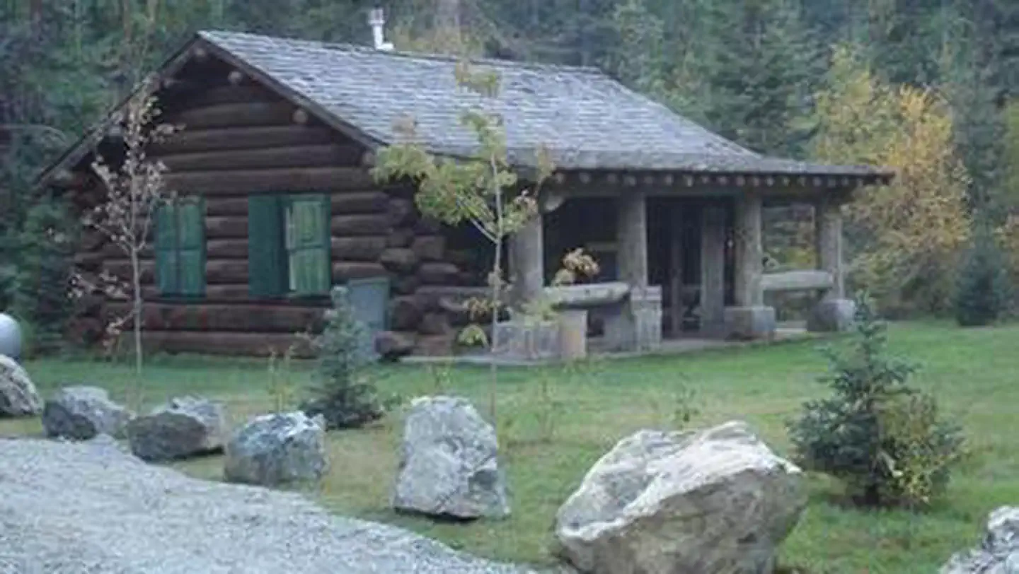
Liz Creek Cabin
Directions
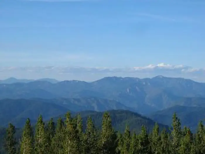
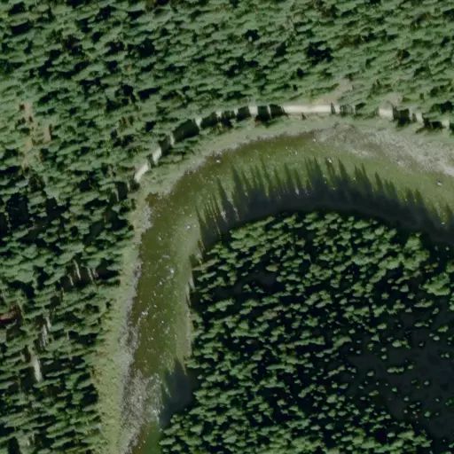
Liz Creek Cabin located in the **very remote** portion of the upper Weitas
Creek drainage on the North Fork Ranger District of the Nez Perce-Clearwater
National Forest in Idaho, approximately 25 air miles due east of Pierce Idaho.
Although there are several routes into the cabin, it is most accessible from
US HWY 12 between Kooskia Idaho and Missoula Montana via FSR 107 and trail 20.
Travel to the cabin after leaving US HWY 12 is on 16 miles of single lane,
gravel surfaced roadways that may be peppered with large potholes/rocks that
can be quite rough, even partially blocked with debris, and 11 miles of
moderate difficulty, multi-use motorized trail open to vehicles 50" or less,
to within 1.5 miles of the cabin, the remaining portion of the trail is
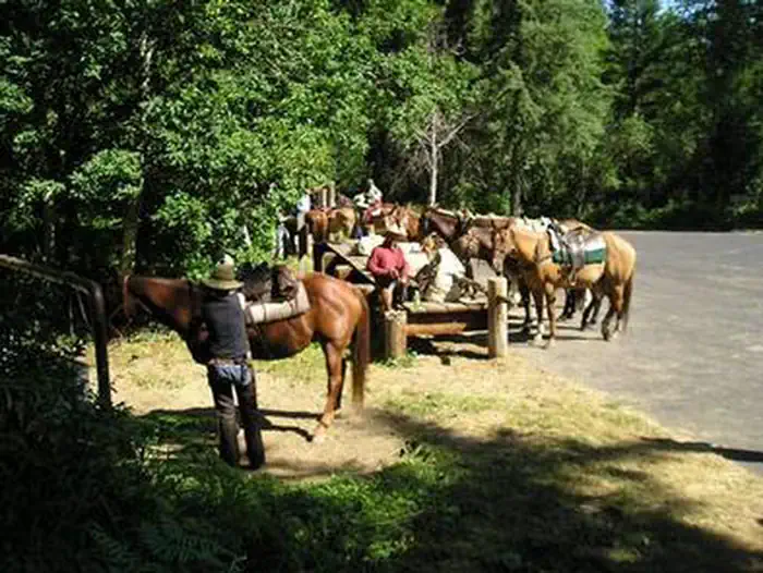
**closed to ATV/UTV 50"** traffic and visitors must either hike or ride the
remaining single track segment of the route. To plan their trip accordingly,
visitors are strongly advised to consult a map, the forest web site, and
seasonal conditions in advance of making reservations as well as prior to
travel since there are no services on the forest.
To approach the cabin via U.S HWY 12, locate FSR 107 at mile marker 139.7
approximately 25 miles west of Powell, Idaho. Follow FSR 107 twelve miles
north to Saddle Camp Junction with roads FSR 500/FSR 587. Take a hard left on
FSR 500 heading west. Follow FSR 500 4 miles to the 12 Mile Saddle trail head
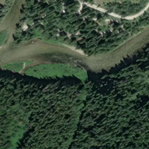
of trail 20. Follow the motorized, moderate difficulty, multi-use trail 20,
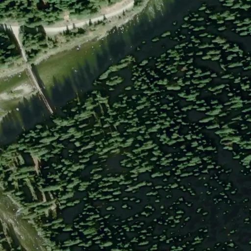
9.5 miles from 12 Mile Saddle to the pack bridge crossing at Weitas creek
(trail 20 is **closed to ATV/UTV** traffic at this point). Continue following
the motorized single-track, moderate difficulty, multi-use portion of the
trail 20 for the remaining 1.5 miles to the cabin.
*NOTE: All mileages given are an approximation. Seasonal conditions in the early spring/late fall can be challenging in this high elevation remote area. Conditions on FSR 500 between 12 Mile Saddle on the east end and Rocky Ridge Lake on the west end requires travel with **high clearance 4X4** vehicles with experienced operators. Trail 649 is a **steep and arduous** 3.5-mile hike with an elevation difference of approximately 2,500’ feet.
Reviews
Popularity
Very quiet · 0%
Location